
The Macdonald Cartier Freeway
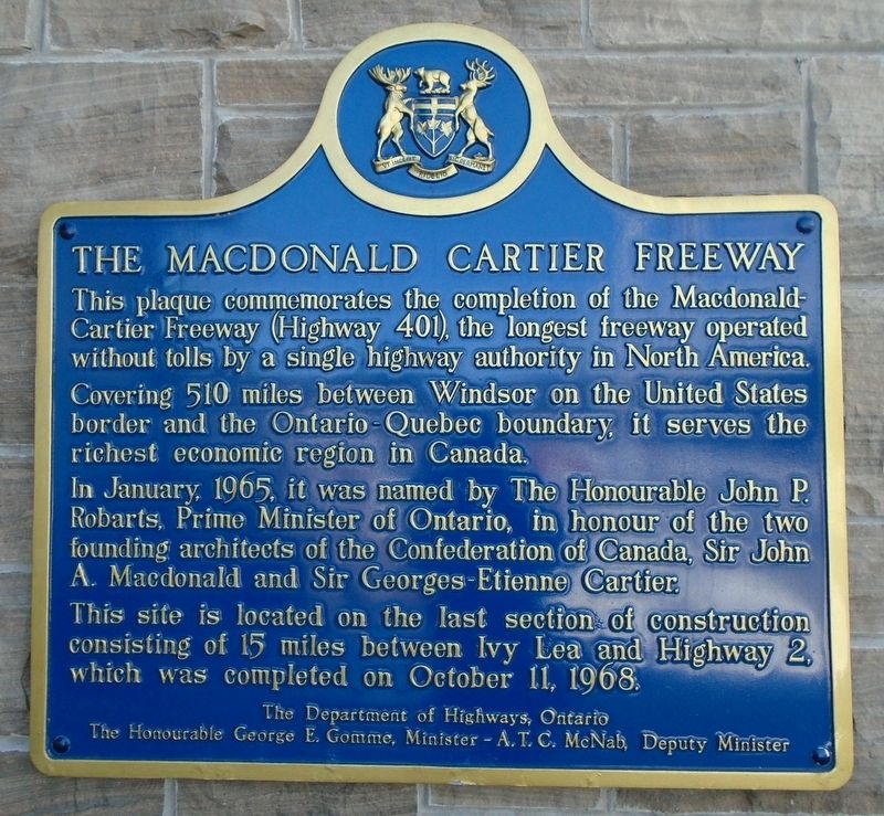
Covering 510 miles between Windsor on the United States border and the Ontario-Quebec boundary, it serves the richest economic region in Canada.
In January, 1965, it was named by The Honourable John P. Robarts, Prime Minister of Ontario, in honour of the two founding architects of the Confederation of Canada, Sir John A. Macdonald and Sir Georges-Etienne Cartier.
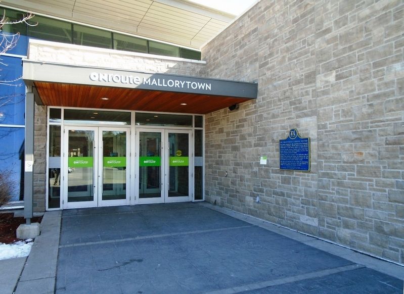
This site is located on the last section of construction consisting of 15 miles between Ivy lea and Highway 2, which was completed on October 11, 1968.
Erected by Ontario Department of Highways.
Topics and series. This historical marker is listed in these topic lists: Man-Made Features • Roads & Vehicles. In addition, it is included in the Canada, Ontario Heritage Trust series list. A significant historical month for this entry is January 1965.
Location. 44° 30.323′ N, 75° 50.136′ W. Marker is near Mallorytown, Ontario, in Leeds and Grenville United Counties. It is on Provincial Highway
this page online

Regionally, this marker is in Eastern Ontario and specifically in Southeastern Ontario. It is also in Central Canada. Globally, it is in North America, the Western Hemisphere, the Western World, and the Anglosphere. Historically, it finds itself in what was once a British colony, the Viceroyalty of New France, the Haudenosaunee (Iroquois) Confederacy, and Rupert’s Land.
Other nearby markers. At least 8 other markers are within 6 kilometers of this marker, measured as the crow flies: A different marker also named The Macdonald Cartier Freeway (approx. 2.5 kilometers away); The “Remembrance Road” Memorial (approx. 3.3 kilometers away); Chimney Island (Bridge Island) (approx. 4 kilometers away); Canada's First Glassworks (approx. 4.2 kilometers away); War Memorial (approx. 4.6 kilometers away); Crossover Island (approx. 5.8 kilometers away in the U.S.); Mallorytown Glass Works (approx.
Related marker. Click here for another marker that is related to this marker.
Also see . . . Ontario Highway 401 at Wikipedia. (Submitted on March 18, 2018, by William Fischer, Jr. of Reynoldsburg, Ohio.)
Credits. This page was last revised on September 27, 2019. It was originally submitted on March 18, 2018, by William Fischer, Jr. of Reynoldsburg, Ohio. This page has been viewed 719 times since then and 71 times this year. Photos: 1, 2, 3. submitted on March 18, 2018, by William Fischer, Jr. of Reynoldsburg, Ohio.
