Ponce Inlet in Volusia County, Florida — The American South (South Atlantic)
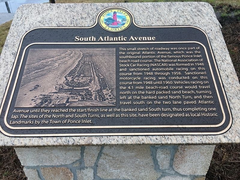
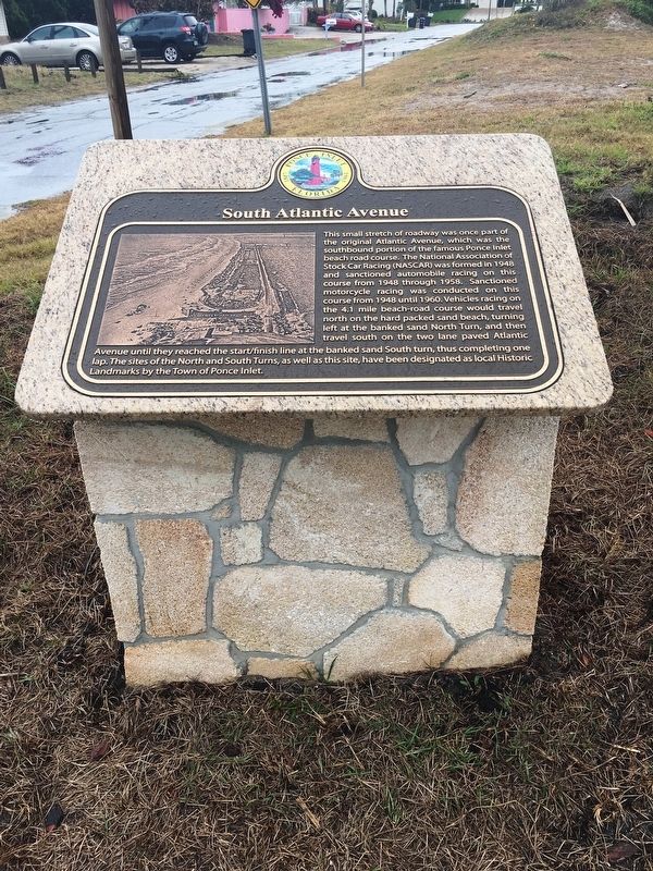
South Atlantic Avenue
Photographed by Brandon D Cross, March 19, 2018
1. South Atlantic Avenue Marker
Erected 2018 by City of Ponce Inlet.
Topics. This historical marker is listed in these topic lists: Entertainment • Roads & Vehicles • Sports.
Location. 29° 6.289′ N, 80° 56.482′ W. Marker is in Ponce Inlet, Florida, in Volusia County. It can be reached
this page online

Regionally, this marker is in First Coast. It is also in the American South and on the Eastern Seaboard. Globally, it is in the North Atlantic Region, North America, a Gulf of Mexico state, the Western Hemisphere, the Western World, and the Anglosphere. Historically, it finds itself in what was once New Spain, the territory of the Mississippian Culture, one of the Confederate States of America, and the Antebellum South.
Other nearby markers. At least 8 other markers are within 2 miles of this marker, measured as the crow flies: North Turn (approx. 0.3 miles away); Green Mound State Archaeological Site (approx. 0.9 miles away); 143 Beach Street (approx. 1.6 miles away); Hasty Cottage Post Office (approx. 1.6 miles away); Meyer-Davis House (approx. 1.6 miles away); Cistern (approx. 1.6 miles away); South Turn (approx. 1.7 miles away); Pacetti Cemetery
Photographed by Brandon D Cross, March 19, 2018
2. South Atlantic Avenue Marker
Photographed by Brandon D Cross, March 19, 2018
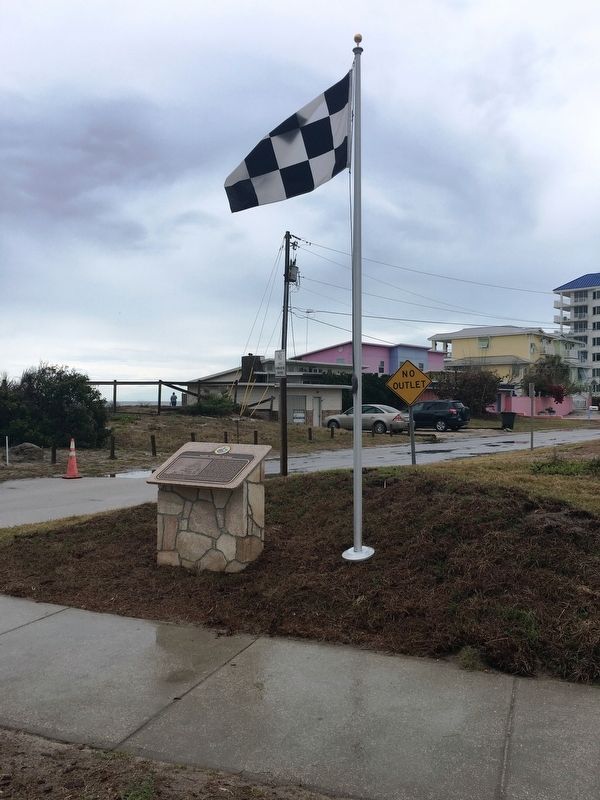
3. South Atlantic Avenue Marker

Photo courtesy Racings North Turn
4. South Atlantic Avenue Heading to South Turn
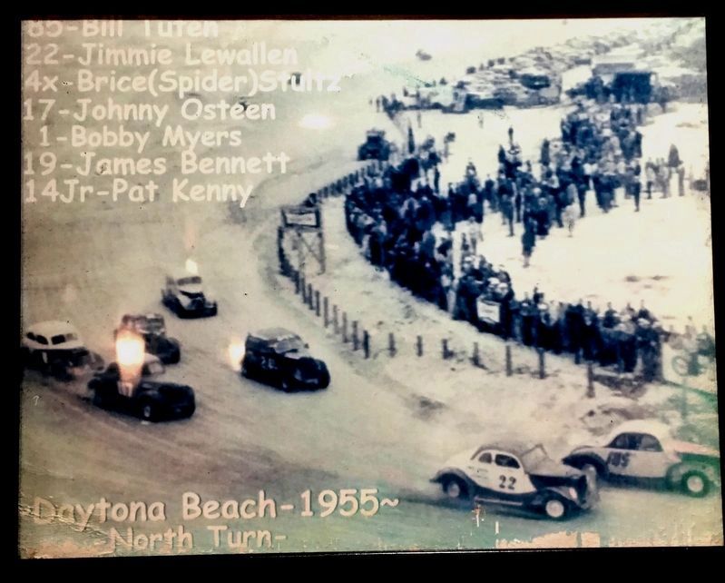
Photo courtesy Racings North Turn
5. North Turn

Photo courtesy Racings North Turn
6. South Turn
Credits. This page was last revised on March 20, 2018. It was originally submitted on March 19, 2018, by Brandon D Cross of Flagler Beach, Florida. This page has been viewed 468 times since then and 40 times this year. Photos: 1, 2, 3, 4, 5, 6. submitted on March 19, 2018, by Brandon D Cross of Flagler Beach, Florida. • Bernard Fisher was the editor who published this page.
