Near Green Pond in Colleton County, South Carolina — The American South (South Atlantic)
Destruction of the Boston
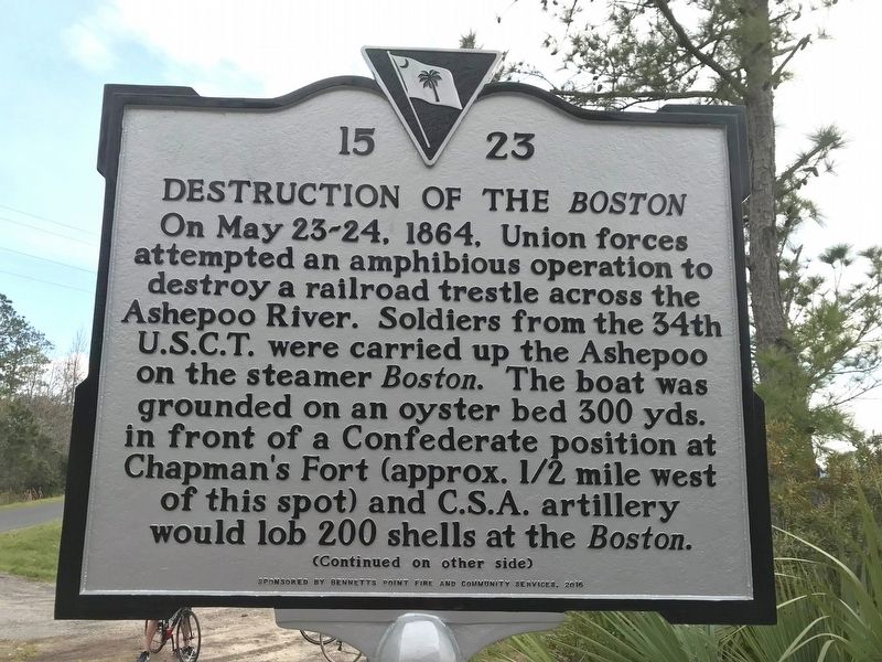
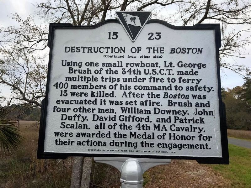
Using one small rowboat, Lt. George Brush of the 34th U.S.C.T. made multiple trips under fire to ferry 400 members of his command to safety. 13 were killed. After the Boston was evacuated it was set afire. Brush and four other men, William Downey, John Duffy, David Gifford, and Patrick Scalan, all of the 4th Massachusetts Cavalry, were awarded the Medal of Honor for their actions during the engagement.
Erected 2016 by the S.C. Department of Archives & History, sponsored by Bennetts Point Fire and Community Services. (Marker Number 15-23.)
Topics. This historical marker is listed in this topic list: War, US Civil. A significant historical date for this entry is May 23, 1864.
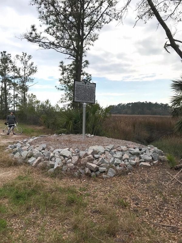
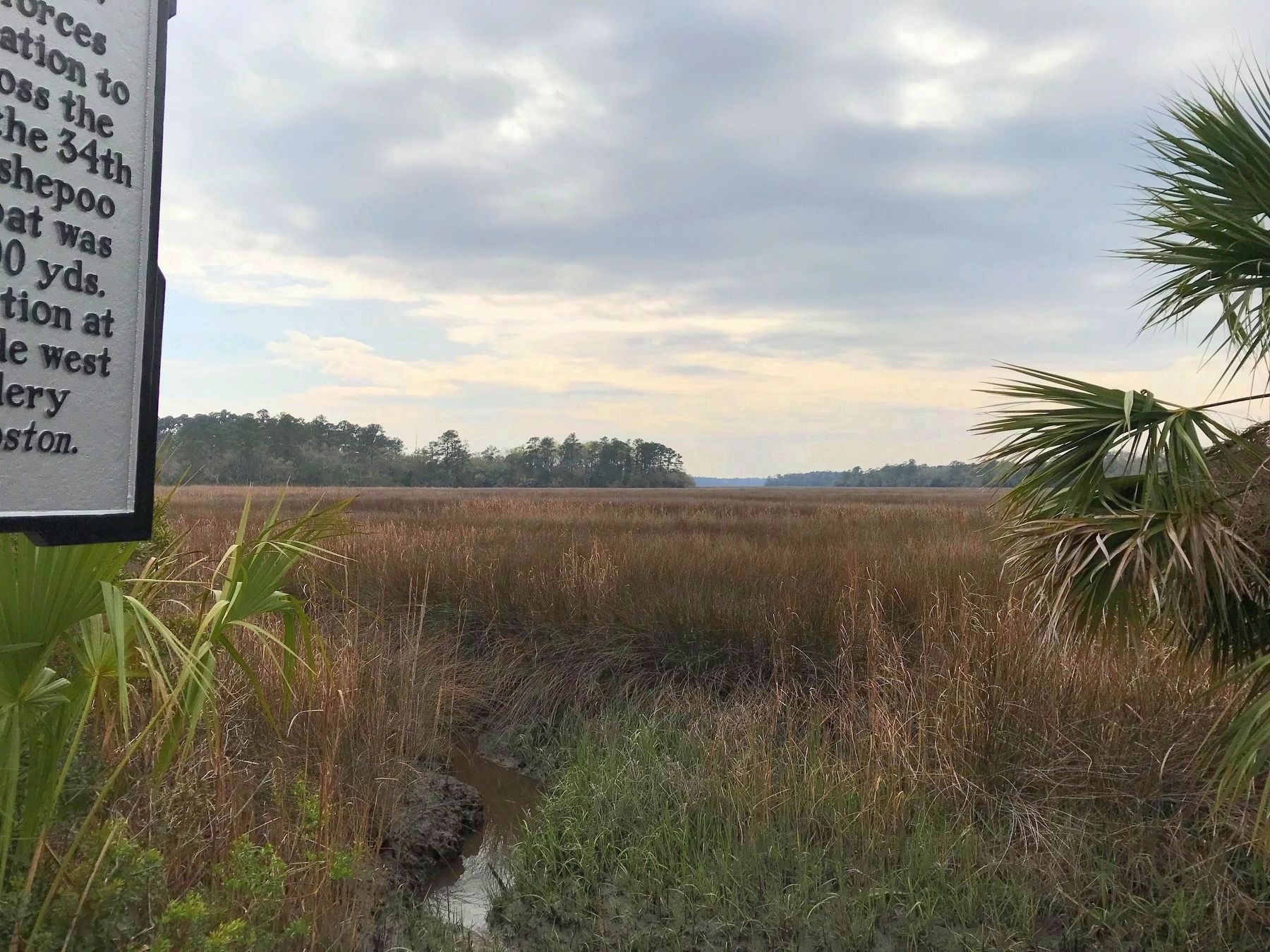
Location. 32° 36.849′ N, 80° 28.933′ W. Marker is near Green Pond, South Carolina, in Colleton County. Marker is on Bennetts Point Road south of Ashepoo Siding , on the right when traveling south. It is at a pull-off just before the Frank E. Baldwin Jr. bridge, the bridge that crosses the Ashepoo River. Touch for map. Marker is in this post office area: Green Pond SC 29446, United States of America. Touch for directions.
Other nearby markers. At least 8 other markers are within 13 miles of this marker, measured as the crow flies. Edmundsbury (approx. 9.9 miles away); Temple of Sport (approx. 10 miles away); Old Jacksonborough (approx. 10.7 miles away); Markers in the Woods (approx. 11.7 miles away); The Struggle for a Long Straight Line (approx. 11.7 miles away); How to Measure the World, and Why (approx. 11.8 miles away); Bache's Bar of Invariable Length (approx. 11.8 miles away); Combahee River Raid / Freedom Along The Combahee (approx. 12.1 miles away).
Also see . . . Destruction of U. S. transport Boston at Chapman's Fort, Ashepoo River, S. C. “When I arrived at Chapman's Fort I found a large Yankee steamer aground 300 yards below the piling in the Ashepoo River, lying with her bow on to the breast-works, and in such a position that my left gun commanded her starboard side and my right her port bow, and also allowed a raking fire fore and aft. The third shot fired from the artillery struck her steam-chest, causing the steam to escape rapidly. Captain Earle fired 200 shots and struck her repeatedly. As soon as the artillery commenced firing I ordered a portion of the First South Carolina Cavalry dismounted, and advanced them as sharpshooters to the edge of the marsh, ordering them to fire upon the steamer; but after a few rounds, finding that it caused no diminution of the number on her decks, I caused the firing to cease.” (Submitted on March 20, 2018.)
Additional keywords. Destruction of the Boston
Credits. This page was last revised on November 5, 2020. It was originally submitted on March 20, 2018, by J. J. Prats of Powell, Ohio. This page has been viewed 1,052 times since then and 132 times this year. Photos: 1, 2, 3, 4. submitted on March 20, 2018, by J. J. Prats of Powell, Ohio.


