Near Chesterfield in Henderson County, Tennessee — The American South (East South Central)
Forrest's Raid
Dec. 18, 1862
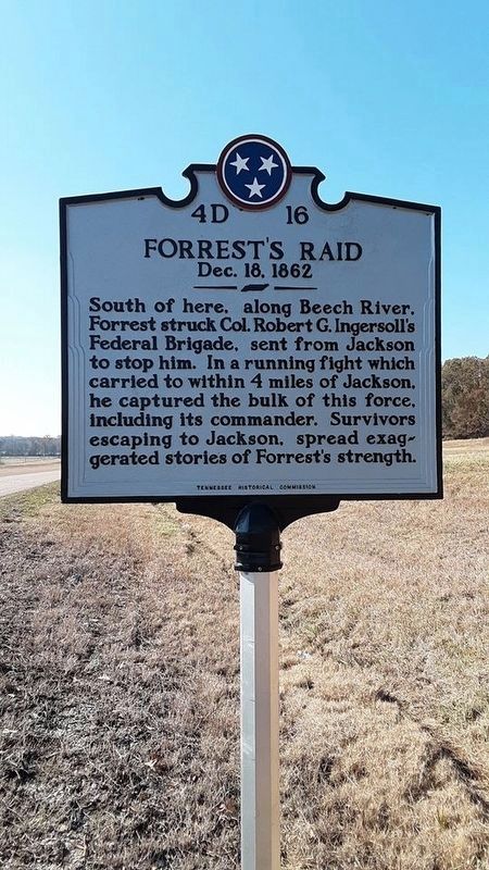
Photographed by Patsy Melton, November 15, 2019
1. Forrest's Raid Marker
South of here, along Beech River, Forrest struck Col. Robert G. Ingersoll's Federal Brigade, sent from Jackson to stop him. In a running fight which carried to within 4 miles of Jackson, he captured the bulk of this force, including its commander. Survivors escaping to Jackson, spread exaggerated stories of Forrest's strength.
Erected by Tennessee Historical Commission. (Marker Number 4D 16.)
Topics and series. This historical marker is listed in this topic list: War, US Civil. In addition, it is included in the Tennessee Historical Commission series list. A significant historical date for this entry is December 18, 1862.
Location. 35° 37.96′ N, 88° 17.091′ W. Marker is near Chesterfield, Tennessee, in Henderson County. It is on U.S. 412 at milepost 19, 0.3 miles west of Lone Elm Road, on the right when traveling west. Touch for map. Marker is in this post office area: Lexington TN 38351, United States of America. Touch for directions.

Regionally, this marker is in West Tennessee. It is also in the American South and specifically in the Upper South. Globally, it is in North America, the Western Hemisphere, the Western World, and the Anglosphere. Historically, it finds itself in what was once the territory of the Mississippian Culture, one of the Confederate States of America, and the Antebellum South.
Other nearby markers. At least 8 other markers are within 7 miles of this marker, measured as the crow flies: A different marker also named Forrest's Raid (approx. 0.6 miles away); Mills Darden (approx. 3.7 miles away); a different marker also named Forrest's Raid (approx. 4½ miles away); Battle for Lexington (approx. 6 miles away); 31 Natchez Trace Drive (approx. 6.2 miles away); Hometown of Buddy Cannon (approx. 6.2 miles away); 58 South Main Street (approx. 6.2 miles away); 54 Main Street (approx. 6.2
this page online
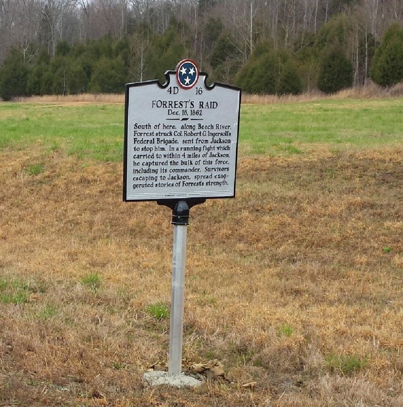
Photographed by Curtis Wise, March 20, 2018
2. Forrest's Raid - Dec. 18,1862
Credits. This page was last revised on September 27, 2022. It was originally submitted on March 21, 2018, by Curtis Wise of Jackson, Tennessee. This page has been viewed 672 times since then and 49 times this year. Photos: 1. submitted on November 19, 2019, by David Austin of Scotts Hill, Tennessee. 2. submitted on March 21, 2018, by Curtis Wise of Jackson, Tennessee. • Bernard Fisher was the editor who published this page.
