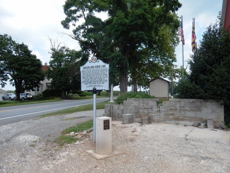
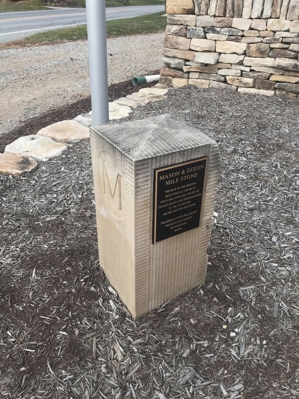
Mason and Dixon Mile Stone
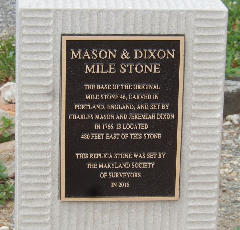
This replica stone was set by the Maryland Society of Surveyors in 2015.
Topics. This historical marker is listed in these topic lists: Colonial Era • Political Subdivisions. A significant historical year for this entry is 1766.
Location. 39° 43.264′ N, 76° 39.456′ W. Marker is in Maryland Line, Maryland, in Baltimore County. It is on Main Street (MD 45). Touch for map. Marker is in this post office area: Maryland Line MD 21105, United States of America. Touch for directions.
Regionally, this marker is in the Baltimore Metro Region and in Central Maryland. It is also in the American Mid-Atlantic, in the Chesapeake Bay Region, and on the Eastern Seaboard. Globally, it is in the North Atlantic Region, North America, the Western Hemisphere, the Western World, and the Anglosphere. Historically, it finds itself in what was once one of the original Thirteen Colonies and also the Antebellum South.
Other nearby markers. At least 8 other markers are
this page online
Credits. This page was last revised on December 8, 2025. It was originally submitted on July 24, 2016, by Don Morfe of Baltimore, Maryland. This page has been viewed 762 times since then and 27 times this year. Last updated on March 21, 2018, by Devry Becker Jones of Washington, District of Columbia. Photos: 1, 2, 3. submitted on July 24, 2016, by Don Morfe of Baltimore, Maryland. 4. submitted on December 7, 2021, by Adam Margolis of Mission Viejo, California. • Andrew Ruppenstein was the editor who published this page.
