Bayou Teche
Franklin Historic District
— Atchafalaya Water Heritage Trail —
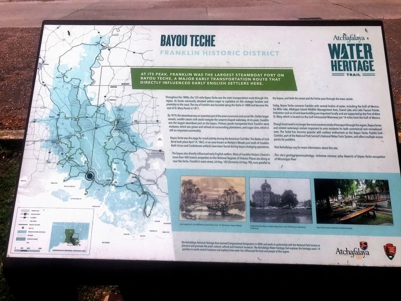
At its peak, Franklin was the largest steamboat port on Bayou Teche, a major early transportation route that directly influenced early English settlers here.
Throughout the 1800s, the 125-mile Bayou Teche was the main transportation route through this region. Its banks eventually attracted settlers eager to capitalize on this strategic location and proximity to the coast. The city of Franklin was founded along the Teche in 1808 and became the seat of St. Mary Parish in 1811.
By 1819, the steamboat was an essential part of the area’s economic and social life. Unlike larger vessels, smaller steam craft could navigate the serpent-shaped waterway. At its peak, Franklin was the largest steamboat port on the bayou. Primary goods transported from Franklin were molasses, which was grown and refined on surrounding plantations, and sugar cane, which is still an important commodity.
Bayou Teche was the stage for much activity during the American Civil War. The Battle of Irish Bend took place April 14, 1863, in an area known as Nerson’s Woods just north of Franklin. Both Union and Confederate artifacts have been found during bayou dredging operations.
The bayou also directly influenced early English settlers. Most of Franklin Historic District’s more than 400 historic properties on the National Register of Historic
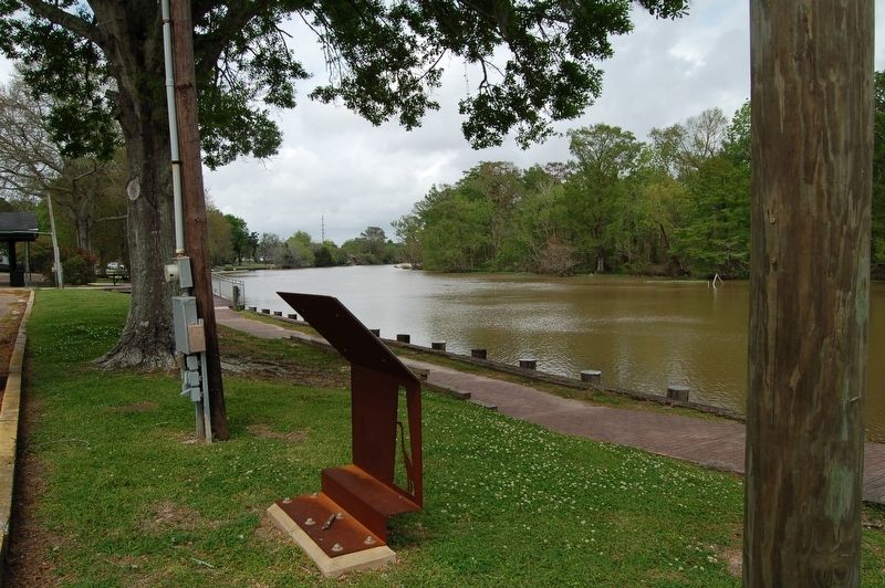
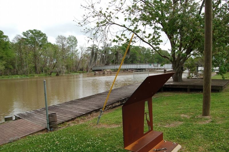
Places are along or near the Teche. Franklin’s main street, LA Hwy. 182 (formerly LA Hwy. 90), runs parallel to the bayou, and both the street and the Teche pass through the town center.Today, Bayou Teche connects Franklin with several bodies of water, including the Gulf of Mexico, Six Mile Lake, Attakapas Island Wildlife Management Area, Grand Lake and Lake Fausse Pointe. Industries such as oil and boat building are important locally and are supported by the Port of West St. Mary, which is located on the Gulf Intracoastal Waterway just 14 miles from the Gulf of Mexico.
Though boat travel is no longer the most common mode of transport through the region, Bayou Teche and related waterways remain important to area residents for both commercial and recreational uses. The Teche has become popular with outdoor enthusiasts as the Bayou Teche Paddle Trail Corridor, part of the National Park Service’s National Water Trails System, and offers multiple access points for paddlers.
Visit Atchafalaya.org for more information about this site.
This site’s geology/geomorphology: Holocene crevasse splay deposits of Bayou Teche occupation of Mississippi River
Erected by State of Louisiana and National Park Service.
Topics and series. This historical marker is listed in these topic lists: Environment
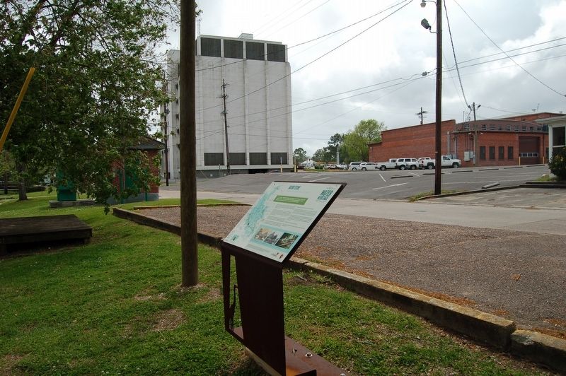
Location. 29° 47.54′ N, 91° 29.965′ W. Marker is in Franklin, Louisiana, in St. Mary Parish. Marker is on Teche Drive south of Willow Street (State Road 3069), on the right when traveling north. Touch for map. Marker is in this post office area: Franklin LA 70538, United States of America. Touch for directions.
Other nearby markers. At least 8 other markers are within walking distance of this marker. Battle Of Irish Bend (about 400 feet away, measured in a direct line); The Gunboat Diana (about 400 feet away); Jared Young Sanders (about 400 feet away); Franklin (about 400 feet away); Charles Austin O'Niell (about 400 feet away); St. Mary Parish Courthouse War Memorial (about 400 feet away); St. Mary Parish Confederate Soldiers Monument (about 500 feet away); Edward V. Loustalot (about 500 feet away). Touch for a list and map of all markers in Franklin.
Credits. This page was last revised on August 12, 2023. It was originally submitted on March 22, 2018, by Cajun Scrambler of Assumption, Louisiana. This page has been viewed 318 times since then and 43 times this year. Photos: 1, 2, 3, 4. submitted on March 22, 2018.


