Plymouth-Exchange in Rochester in Monroe County, New York — The American Northeast (Mid-Atlantic)
Camp Fitz-John Porter
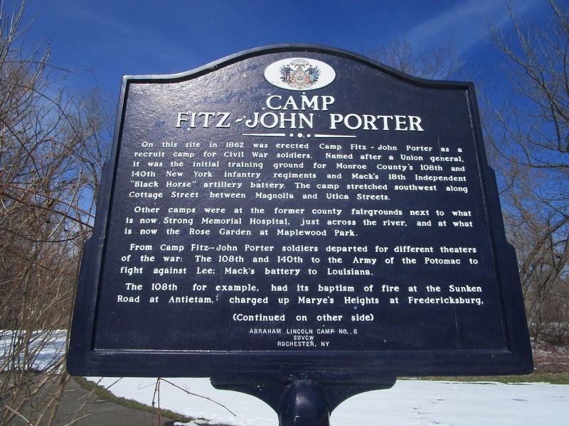
On this site in 1862 was erected Camp Fitz-John Porter as a recruit camp for Civil War soldiers. Named after a Union general, it was the initial training ground for Monroe County's 108th and 140th New York infantry regiments and Mack's 18 Independent "Black Horse" artillery battery. The camp stretched southwest along Cottage Street between Magnolia and Utica Streets.
Other camps were at the former county fairgrounds next to what is now Strong Memorial Hospital, just across the river, and at what is now the Rose Garden at Maplewood Park.
From Camp Fitz-John Porter soldiers departed for different theaters of the war: The 108th and 140th to the Army of the Potomac to fight against Lee; Mack's battery to Louisiana.
The 108th for example, had its baptism of fire at the Sunken Road and Antietam, charged up Marye's Heights at Fredericksburg,
Camp
Fitz-John Porter
——· • · ——
The 140th helped turn the tide at Little Round Top during the second day of fighting at Gettysburg, lost half its men killed, wounded or missing in an ill-fated charge across Saunders' Field at the Wilderness, lost more men in an equally futile charge at Spotsylvania, fought in the trenches at Petersburg, then helped overwhelm the enemy at Five Forks. It, too, was present at Lee's surrender.
Mack's Battery endured stifling heat and enemy snipers during the siege at Port Hudson and later helped capture Spanish Fort outside Mobile in the last days of the war.
Monroe County sent 10,372 soldiers into the Union ranks. 1,374 of them died of wounds or disease.
Erected 2008 by Abraham Lincoln Camp Number 6, Sons of Union Veterans of the Civil War; Eagle Scout Project supervised by PCC Jim Walzer.
Topics. This historical marker is listed in this topic list: War, US Civil. A significant historical year for this entry is 1862.
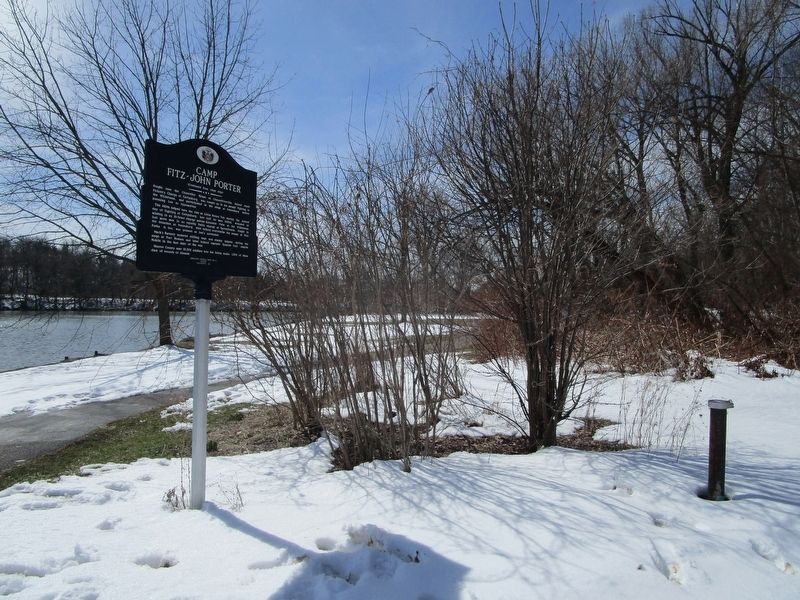
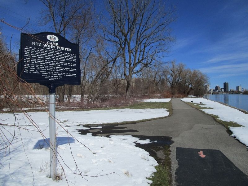
Location. 43° 8.127′ N, 77° 37.238′ W. Marker is in Rochester, New York, in Monroe County. It is in Plymouth-Exchange. Marker can be reached from Genesee Riverway Trail. Marker is along the west bank of the Genesee River, on a lower terrace from the Genesee Riverway Trail, south of the foot of Flint Street. Touch for map. Marker is in this post office area: Rochester NY 14608, United States of America. Touch for directions.
Other nearby markers. At least 8 other markers are within walking distance of this marker. Erie Lackawanna Railroad Bridge (approx. 0.2 miles away); Susan B. Anthony (approx. ¼ mile away); Nursery Office
(approx. 0.3 miles away); Mount Hope Cemetery (approx. 0.3 miles away); Rochester Orphan Asylum Burial Plot (approx. 0.4 miles away); Willie Walker Lightfoot (approx. 0.4 miles away); Jefferson Avenue (approx. 0.4 miles away); Frederick Douglass (approx. 0.4 miles away). Touch for a list and map of all markers in Rochester.
Credits. This page was last revised on February 16, 2023. It was originally submitted on March 22, 2018, by Anton Schwarzmueller of Wilson, New York. This page has been viewed 690 times since then and 88 times this year. Photos: 1, 2, 3. submitted on March 22, 2018, by Anton Schwarzmueller of Wilson, New York.


