Penfield in Monroe County, New York — The American Northeast (Mid-Atlantic)
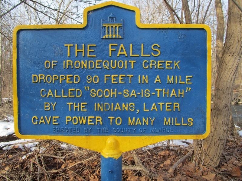
The Falls
of Irondequoit Creek
dropped 90 feet in a mile
called "Sgoh-Sa-Is-Thah"
by the Indians, later
gave power to many mills.
Erected by County of Monroe.
Topics. This historical marker is listed in these topic lists: Industry & Commerce • Native Americans.
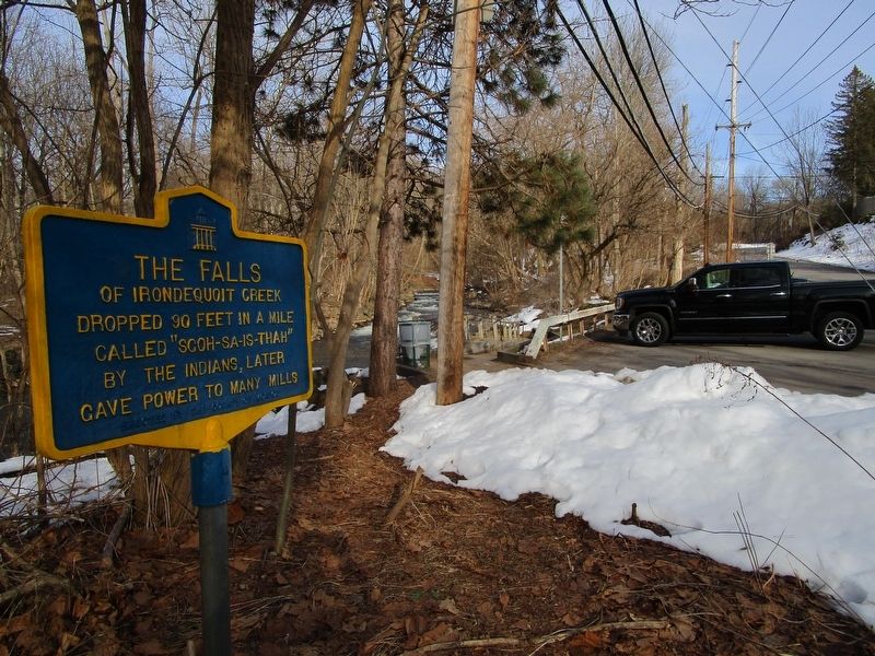
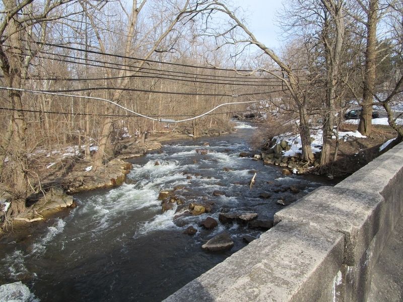
Location. 43° 7.63′ N, 77° 29.052′ W. Marker is in Penfield, New York, in Monroe County. Marker is at the intersection of North Washington Street and Falls View Lane, on the right when traveling north on North Washington Street. Marker is at the dead end of North Washington Street at a pedestrians-only bridge over the creek. The other side of the bridge is Linear Park Drive in Channing H. Philbrick Park, off of NY route 441. Touch for map. Marker is in this post office area: Rochester NY 14625, United States of America. Touch for directions.
Other nearby markers. At least 8 other markers are within walking distance of this marker. Penfield - 1810 (approx. half a mile away); Daniel Penfield (approx. half a mile away); Lincoln House (approx. 0.6 miles away); Lincoln Mills (approx. 0.6 miles away); School District No. 9 (approx. ¾ mile away); Penfield Station (approx. ¾ mile away); Eddie James "Son" House Jr. (approx. 0.8 miles away); Water Tower (approx. 0.9 miles away). Touch for a list and map of all markers in Penfield.
Credits. This page was last revised on March 24, 2018. It was originally submitted on March 24, 2018, by Anton Schwarzmueller of Wilson, New York. This page has been viewed 438 times since then and 50 times this year. Photos: 1, 2, 3. submitted on March 24, 2018, by Anton Schwarzmueller of Wilson, New York.


