Pittsford in Monroe County, New York — The American Northeast (Mid-Atlantic)
Historic Schoen Place
Photographed by Anton Schwarzmueller, March 22, 2018
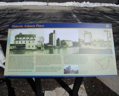
1. Historic Schoen Place Marker
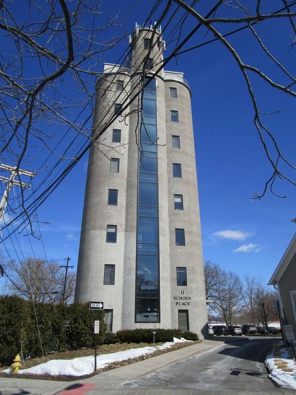
The barns, sheds, and homes at the west end of Schoen Place were built in the 1870s to house the H.H. Cronk Lumberyard. In the 1880s, the Schoen Brothers bought the complex and began selling farm supplies and drying friut from local arms. In the early twentieth century they began selling coal to residential and commercial customers as well as canal tugboats. The large concrete and steel tower was built in the early 1920s to store coal in elevated bins and load
this page online
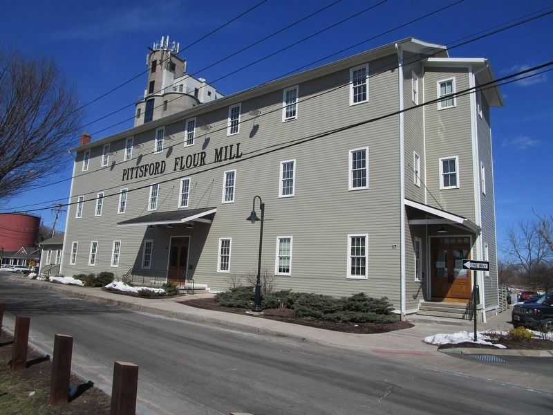
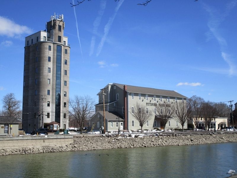
The Pittsford Flour Mill is one of Pittsford's most visible and well-known landmarks. Flour milling was conducted in Pittsford for nearly 150 years. The first mill was built about 1830 near the site of the current building.
The current structure was built in 1882. The mill was enlarged and a warehouse and silos added in the early twentieth century. The 130-foot-tall grain elevator dates from 1937. In 1953, Ted Zornow converted the complex for use as part of his grain and bean wholesale business which continued until 1996. The mill and silo were rehabilitated for office use between 2005 and 2009.
Erected by Erie Canalway Trail.
Topics and series. This historical marker is listed in these topic lists: Industry & Commerce • Waterways & Vessels. In addition, it is included in the Erie Canal series list. A significant historical year for this entry is 1824.
Location. 43° 5.455′ N, 77° 30.727′ W. Marker is in Pittsford, New York, in Monroe County. It is on Schoen Place 0.1 miles north of State Street (New York State Route 31), on the left when traveling north. Touch for map. Marker is at or near this postal address:
Photographed by Anton Schwarzmueller, March 22, 2018
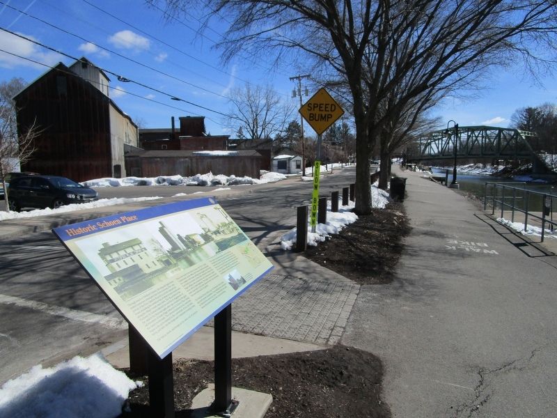
2. Historic Schoen Place Marker
View is southward towards the NY route 31 bridge over the Erie Canal.

Regionally, this marker is in Upstate New York, specifically in Western New York, in the Finger Lakes, and in the Rochester Metropolitan Area. It is also in the American Northeast and in the Mid-Atlantic. Globally, it is in North America, on the Great Lakes, in the Western Hemisphere, in the Western World, and in the Anglosphere. Historically, it finds itself in what was once the Haudenosaunee (Iroquois) Confederacy, New Netherland, and one of the original Thirteen Colonies.
Other nearby markers. At least 8 other markers are within walking distance of this marker: The First House (about 300 feet away, measured in a direct line); Erie Canal (about 400 feet away); Port of Pittsford (about 500 feet away); In Honor of All Pittsford Veterans (about 700 feet away); Phoenix Hotel (about 800 feet away); a different marker also named Erie Canal (approx. 0.2 miles away); Pittsford Village (approx. 0.2 miles away); Cobblestone Academy (approx. 0.2 miles away). Touch for a list and map of all markers in Pittsford.
Photographed by Anton Schwarzmueller, March 22, 2018
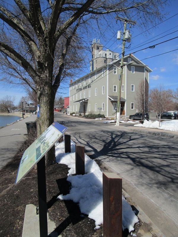
3. Historic Schoen Place Marker
View is northward towards the Pittsford Flour Mill, with the grain elevator behind it.
Photographed by Anton Schwarzmueller, March 22, 2018
4. Pittsford Four Mill
Photographed by Anton Schwarzmueller, March 22, 2018
5. The Grain Elevator
Photographed by Anton Schwarzmueller, March 22, 2018
6. Pittsford Four Mill & Grain Elevator
View from across the canal.
Credits. This page was last revised on March 25, 2018. It was originally submitted on March 25, 2018, by Anton Schwarzmueller of Wilson, New York. This page has been viewed 2,380 times since then and 170 times this year. Photos: 1, 2, 3, 4, 5, 6. submitted on March 25, 2018, by Anton Schwarzmueller of Wilson, New York.
