Vicksburg National Military Park in Warren County, Mississippi — The American South (East South Central)
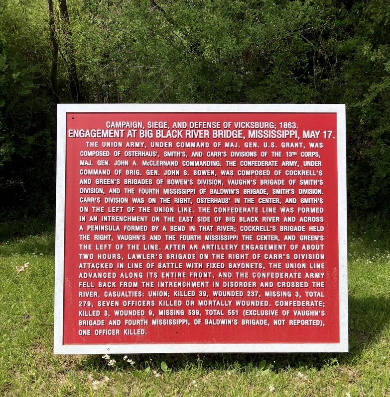
Engagement at Big Black River Bridge, Mississippi, May 17.
Campaign, Siege, and Defense of Vicksburg; 1863.
Inscription.
The Union Army, under command of Maj. Gen. U.S. Grant, was composed of Osterhaus', Smith's, and Carr's Divisions of the 13th Corps, Maj. Gen. John A. McClernand commanding. The Confederate Army, under command of Brig. Gen. John S. Bowen, was composed of Cockrell's and Green's Brigades of Bowen's Division, Vaughn's Brigade of Smith's Division, and the Fourth Mississippi of Baldwin's Brigade, Smith's Division. Carr's Division was on the right, Osterhaus' in the center, and Smith's on the left of the Union line. The Confederate line was formed in an intrenchment on the east side of Big Black River and across a peninsula formed by a bend in that river; Cockrell's Brigade held the right, Vaughn's and the Fourth Mississippi the center, and Green's the left of the line. After an artillery engagement of about two hours, Lawler's Brigade on the right of Carr's Division attacked in line of battle with fixed bayonets, the Union line advanced along its entire front, and the Confederate Army fell back from the intrenchment in disorder and crossed the river. Casualties: Union; killed 39, wounded 237, missing 3, total 279, seven officers killed or mortally wounded. Confederate; killed 3, wounded 9, missing 539, total 551 (exclusive of Vaughn's Brigade and Fourth Mississippi, of Baldwin's Brigade, not reported), one officer killed.
Erected by the United States War Department.
Topics and series. This historical marker is listed in this topic list: War, US Civil. In addition, it is included in the Former U.S. Presidents: #18 Ulysses S. Grant series list.
Location. 32° 21.106′ N, 90° 51.137′ W. Marker is in Vicksburg National Military Park, Mississippi, in Warren County. Marker is at the intersection of Pemberton Circle and Confederate Avenue, on the right on Pemberton Circle. Touch for map. Marker is at or near this postal address: Pemberton Circle, Vicksburg MS 39183, United States of America. Touch for directions.
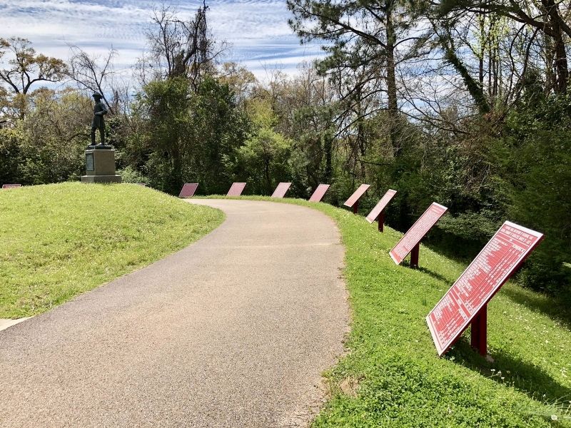
Other nearby markers. At least 8 other markers are within walking distance of this marker. Assault on the Confederate Line of Defense, May 19. (here, next to this marker); Battle of Champion's Hill, Mississippi, May 16. (here, next to this marker); Engagement at Jackson, Mississippi, May 14. (a few steps from this marker); Assault on the Confederate Line of Defense, May 22. (a few steps from this marker); John C Pemberton (a few steps from this marker); Engagement at Raymond, Mississippi, May 12. (a few steps from this marker); Siege Operations, May 23-July 4. (a few steps from this marker); Battle of Port Gibson, Mississippi, May 1. (a few steps from this marker). Touch for a list and map of all markers in Vicksburg National Military Park.
Also see . . . Wikipedia article on the Battle of Big Black River Bridge.
(Submitted on March 28, 2018, by Mark Hilton of Montgomery, Alabama.)
Credits. This page was last revised on October 5, 2020. It was originally submitted on March 28, 2018, by Mark Hilton of Montgomery, Alabama. This page has been viewed 275 times since then and 16 times this year. Photos: 1, 2, 3. submitted on March 28, 2018, by Mark Hilton of Montgomery, Alabama.


