Covington in St. Tammany Parish, Louisiana — The American South (West South Central)
Bicentennial Covington #2
Historical Point of View

Photographed by Cajun Scrambler, March 23, 2018
1. Bicentennial Covington Marker
Three rivers and several Indian trails converged in the area where Covington was founded. These major trade routes are what placed Covington at the center of commerce. They became the lifeline of trade and transport between points north of Lake Ponchartrain and the markets in New Orleans and beyond. When the bridges periodically washed out from logs floating down the river, the community would rally to restore these vital links.
Erected by City of Covington, Louisiana.
Topics. This historical marker is listed in these topic lists: Settlements & Settlers • Waterways & Vessels.
Location. 30° 28.64′ N, 90° 5.344′ W. Marker is in Covington, Louisiana, in St. Tammany Parish. It can be reached from Tammany Trace Bike Trail 0.3 miles East Gibson Street. Touch for map. Marker is in this post office area: Covington LA 70433, United States of America. Touch for directions.

Regionally, this marker is in the Florida Parishes and in Greater New Orleans. It is also in the American South, specifically in the Deep South, and on the Gulf Coast. Globally, it is in North
this page online
Other nearby markers. At least 8 other markers are within walking distance of this marker: Walker Percy (about 600 feet away, measured in a direct line); Public "Ox Lot" Parking (approx. ¼ mile away); H.J. Smith and Sons Hardware and Museum (approx. 0.3 miles away); The Covington Bank and Trust Building (approx. 0.3 miles away); Columbia Street (approx. 0.3 miles away); Columbia Street Landing (approx. 0.4 miles away); a different marker also named Public "Ox Lot" Parking (approx. 0.4 miles away); Courthouse Square and Historic Oaks (approx. 0.4 miles away). Touch for a list and map of all markers in Covington.
Another marker is no longer nearby. Original Courthouse (was approx. ¼ mile away but has been confirmed missing).
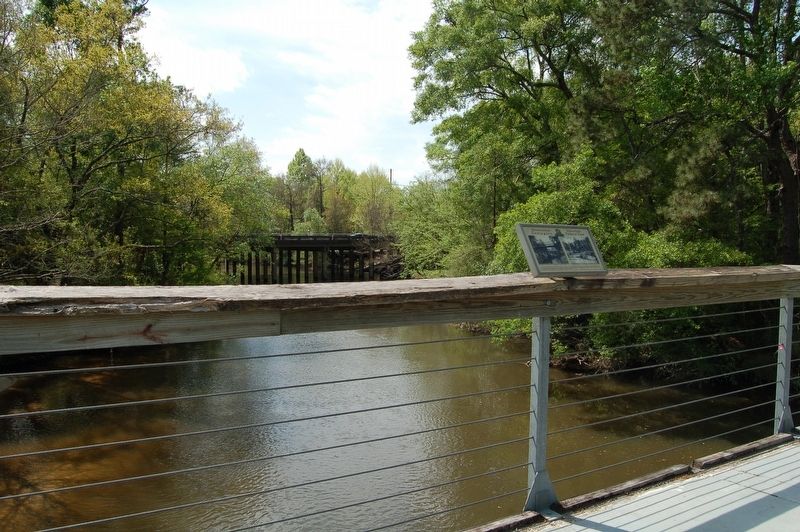
More about this marker. Marker is located on the foot bridge of the Tammany Trace Bike trail. NO MOTOR
Photographed by Cajun Scrambler, March 23, 2018
2. Bicentennial Covington Marker
Also see . . . Tammany Trace website. (Submitted on March 29, 2018.)

Photographed by Cajun Scrambler, March 23, 2018
3. View from bridge looking south
Credits. This page was last revised on July 5, 2024. It was originally submitted on March 29, 2018, by Cajun Scrambler of Assumption, Louisiana. This page has been viewed 453 times since then and 62 times this year. Photos: 1, 2, 3. submitted on March 29, 2018.
