Near Everglades City in Collier County, Florida — The American South (South Atlantic)
Tamiami Trail
Photographed by Jimmy Emerson
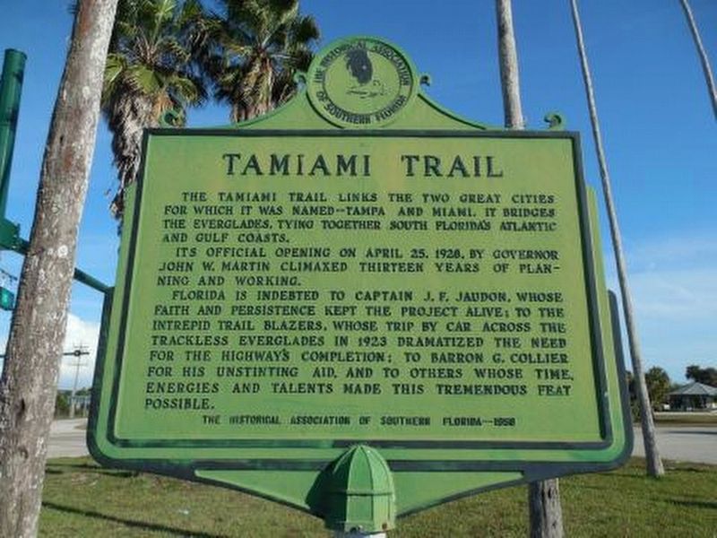
1. Tamiami Trail Marker
Its official opening on April 28, 1926, by Governor John W. Martin climaxed thirteen years of planning and working.
Florida is indebted to Captain J.F. Jaudon, whose faith and persistence kept the project alive; to the intrepid trail blazers, whose trip by car across the trackless Everglades in 1923 dramatized the need for the highway’s completion; to Baron G. Collier, for his unstinting aid, and to others whose time, energies and talents made this tremendous feat possible.
Erected 1958 by The Historical Association of Southern Florida.
Topics. This historical marker is listed in this topic list: Roads & Vehicles. A significant historical year for this entry is 1926.
Location. 25° 54.59′ N, 81° 21.824′ W. Marker is near Everglades City, Florida, in Collier County. It is at the intersection of U.S. 41 and County Road 29 on U.S. 41. Touch for map. Marker is in this post office area: Everglades City FL 34139, United States of America. Touch for directions.

Regionally,
this page online
Other nearby markers. At least 8 other markers are within 4 miles of this marker, measured as the crow flies: The Cypress Swamp (approx. 2.8 miles away); "Father of the Fahkahatchee" (approx. 2.9 miles away); Old Railway Depot (approx. 3.8 miles away); Old Collier County Courthouse (approx. 3.8 miles away); Hurricane Wilma (approx. 3.8 miles away); Barron G. Collier (approx. 3.8 miles away); A Gateway to America’s Everglades (approx. 3.8 miles away); Rod & Gun Club (approx. 3.9 miles away). Touch for a list and map of all markers in Everglades City.
Additional keywords. Dade County, unpaved
Photographed by Mike Wintermantel
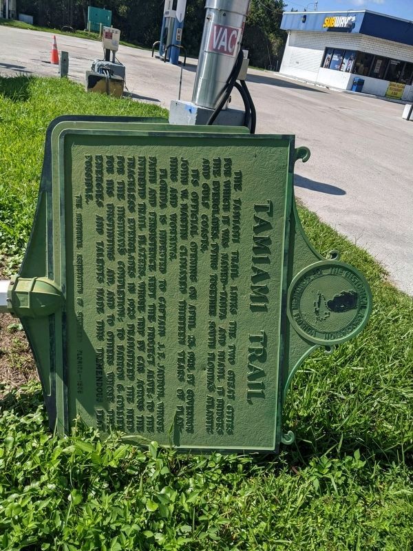
2. Tamiami Trail Marker
Marker and post have fallen.
Photographed by Mike Wintermantel
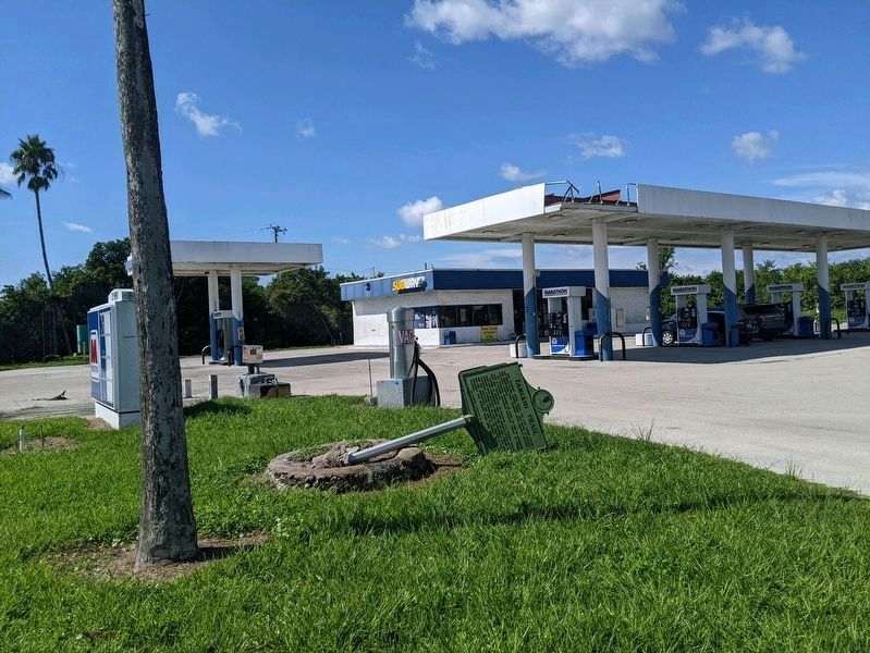
3. Tamiami Trail Marker
Marker and post have fallen.
Photographed by Mike Wintermantel
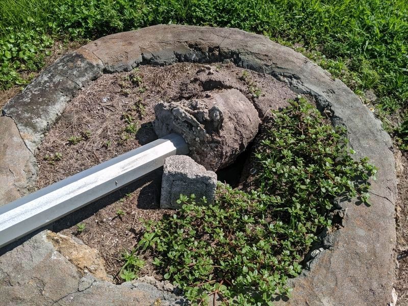
4. Tamiami Trail Marker
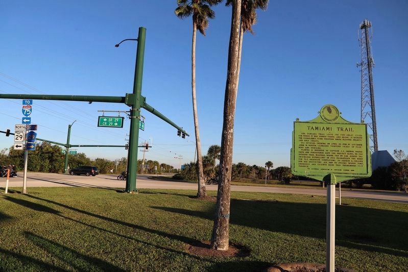
Photographed by Dave W, December 27, 2022
5. Tamiami Trail Marker (reset)
Credits. This page was last revised on May 6, 2024. It was originally submitted on March 29, 2018, by Daniel Eisenberg of Boca Raton, Florida. This page has been viewed 1,036 times since then and 105 times this year. Photos: 1. submitted on March 29, 2018, by Daniel Eisenberg of Boca Raton, Florida. 2, 3, 4. submitted on October 19, 2021, by Mike Wintermantel of Pittsburgh, Pennsylvania. 5. submitted on January 29, 2024, by Dave W of Co, Colorado. • Andrew Ruppenstein was the editor who published this page.
