Near Dixville Notch in Coos County, New Hampshire — The American Northeast (New England)
Early Settlers
Photographed by Cosmos Mariner, July 19, 2006
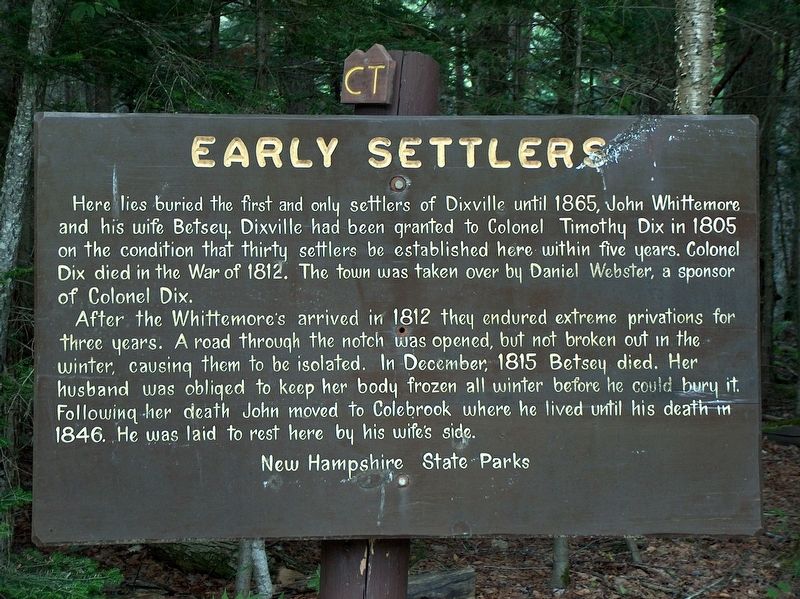
1. Early Settlers Marker
Here lies buried the first and only settlers of Dixville until 1865, John Whittemore and his wife Betsey. Dixville had been granted to Colonel Timothy Dix in 1805 on the condition that thirty settlers be established here within five years. Colonel Dix died in The War of 1812. The town was taken over by Daniel Webster, a sponsor of Colonel Dix.
After the Whittemore's arrived in 1812 they endured extreme privations for three years. A road through the notch was opened, but not broken out in the winter, causing them to be isolated. In December, 1815 Betsey died. Her husband was obliged to keep her body frozen all winter before he could bury it. Following her death John moved to Colebrook where he lived until his death in 1846. He was laid to rest here by his wife's side.
Erected by New Hampshire State Parks.
Topics. This historical marker is listed in these topic lists: Cemeteries & Burial Sites • Settlements & Settlers. A significant historical year for this entry is 1812.
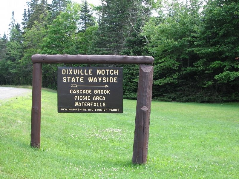
Location. 44° 51.373′ N, 71° 17.138′ W. Marker is near Dixville Notch, New Hampshire, in Coos County. It can be reached from New Hampshire Route 26 1.1 miles east of Cold Spring Road, on the right when traveling east. Marker, family burial site, and tombstones are located within the Dixville Notch State Wayside at this address,
this page online

Regionally, this marker is in the White Mountains. It is also in the American Northeast and in New England. Globally, it is in North America, the Great North Woods, the Western Hemisphere, the Western World, and the Anglosphere. Historically, it finds itself in what was once one of the original Thirteen Colonies.
Other nearby markers. At least 8 other markers are within 15 miles of this marker, measured as the crow flies: Dixville Notch (approx. 1.1 miles away); The Coos Trail (approx. 10.2 miles away); Metallak (approx. 11 miles away); 45th Parallel (approx. 11.9 miles away); Supreme Court of the United States Boundary Commission (approx. 14 miles away in Vermont); Indian Stream Republic (approx. 14.2 miles away); Pittsburg World War II Honor Roll (approx. 14.4 miles away); Pittsburg Honor Roll (approx. 14.4 miles away).
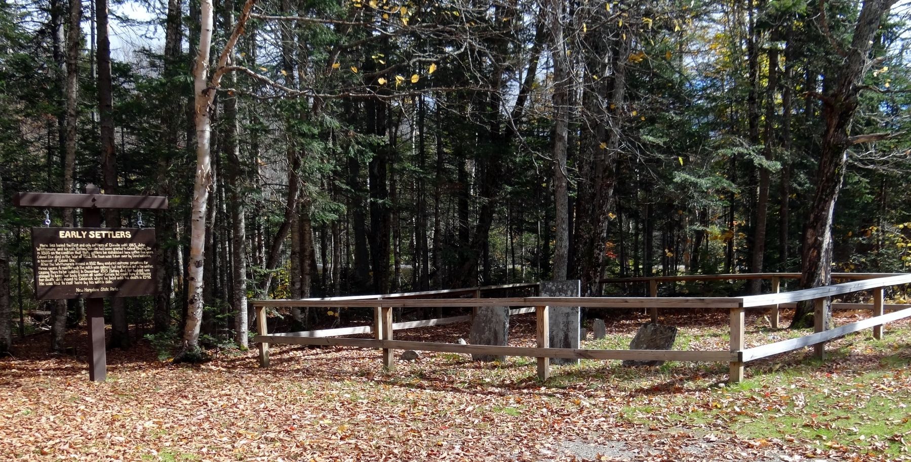
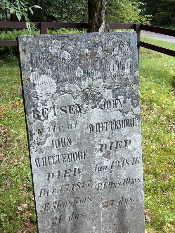
More about this marker. Marker is a painted wooden signboard, located beside the Whittemore Family Cemetery, which includes the Whittemore graves and tombstones.
Also see . . .
1. John Whittemore Grave.
Early settler in Northern New Hampshire. (Submitted on March 30, 2018, by Cosmos Mariner of Cape Canaveral, Florida.)
2. The Balsams: Priceless New Hampshire Heritage.
October 8, 2013
2. Early Settlers Marker (wide view; Whittemore Family Cemetery beside marker)
The first Europeans arrived only 200 years ago. Betsey and John Whittemore’s are among the oldest graves located in Dixville Notch. Their farm on the valley floor and an historic farmhouse now inside a hotel building had at one time belonged to the “Dix” family for whom “Dixville” was named. (Submitted on March 30, 2018, by Cosmos Mariner of Cape Canaveral, Florida.)
Photographed by Cosmos Mariner, July 19, 2006
3. John & Betsey Whittemore Tombstone (next to marker)
Photographed by Cosmos Mariner, July 19, 2006
4. Dixville Notch State Wayside Sign (enter here from Hwy 26 for access to marker)
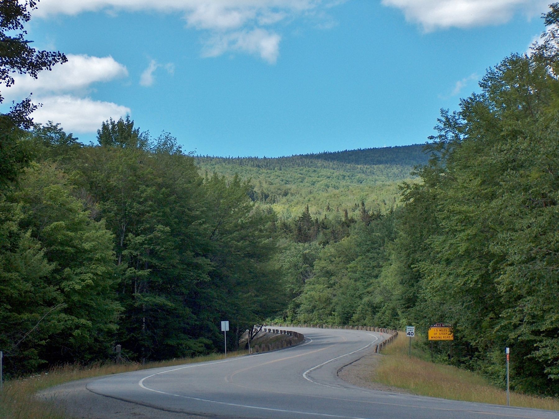
Photographed by Cosmos Mariner, July 19, 2006
5. View west along Hwy 26 from State Wayside toward Dixville Notch
Credits. This page was last revised on April 2, 2018. It was originally submitted on March 30, 2018, by Cosmos Mariner of Cape Canaveral, Florida. This page has been viewed 755 times since then and 70 times this year. Photos: 1, 2, 3, 4, 5. submitted on March 30, 2018, by Cosmos Mariner of Cape Canaveral, Florida. • Andrew Ruppenstein was the editor who published this page.
