Potomac West in Alexandria, Virginia — The American South (Mid-Atlantic)
The Triangle Site
Town of Potomac
— 1908 - 1929 —
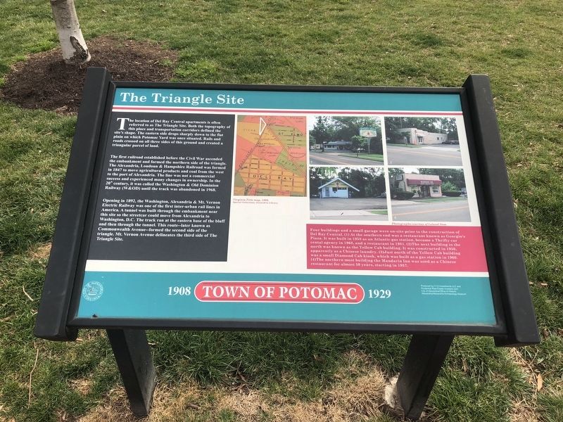
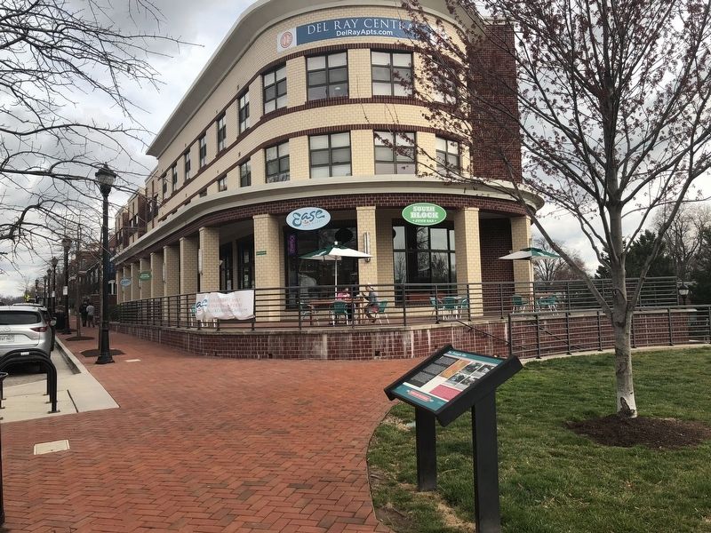
The location of Del Ray Central apartments is often referred to as The Triangle Site. Both the topography of this place and transportation corridors defined the site's shape. The eastern side drops sharply down to the flat plain on which Potomac Yard was once situated. Rails and roads crossed on all three sides of this ground and created a triangular parcel of land.
The first railroad established before the Civil War ascended the embankment and formed the northern side of the triangle. The Alexandria, Loudoun & Hampshire Railroad was formed in 1847 to move agricultural products and coal from the west to the port of Alexandria. The line was not a commercial success and experienced many changes in ownership. In the 20th century, it was called the Washington & Old Dominion Railway (W&OD) until the track was abandoned in 1968.
Opening in 1892, the Washington, Alexandria & Mt. Vernon Electric Railway was one of the first inter-urban rail lines in America. A tunnel was built through the embankment near this site so the streetcar could move from Alexandria to Washington, D.C. The track ran at the eastern base of the bluff and then through the tunnel. This route—later known as Commonwealth Avenue—formed the second side of the triangle. Mt. Vernon Avenue delineates the third side of the Triangle Site.
Four buildings and a small garage were on-site to the construction of Del Ray Central. (1) At the southern end was a restaurant known as Georgio's Piaza. It was built in 1958 as an Atlantic gas station, became a Thrifty car rental agency in 1968, and a restaurant in 1981. (2) The next building to the north was known as the Yellow Cab building. It was constructed in 1950, apparently as a Chinese laundry. (3) Just north of the Yellow Cab building was a small Diamond Cab kiosk, which was built as a gas station in 1960. (4) The northern most building the Mandarin In was used as a Chinese restaurant for almost 50 years, starting in 1957.
Erected 2008 by City of Alexandria.
Topics and series. This historical marker is listed in these topic lists: Industry & Commerce • Railroads & Streetcars • Roads & Vehicles. In addition, it is included in the Virginia, The City of Alexandria series list. A significant historical year for this entry is 1847.
Location. 38° 49.908′ N, 77° 3.576′ W. Marker is in Alexandria, Virginia. It is in Potomac West. Marker is on Mount Vernon Avenue north of Commonwealth Avenue, on the right when traveling north. Touch for map. Marker is at or near this postal address: 3051 Mt Vernon Ave, Alexandria VA 22305, United States of America. Touch for directions.
Other nearby markers. At least 8 other markers are within walking distance of this marker. Captain Rocky Versace Plaza and Vietnam Veterans Memorial (approx. 0.2 miles

Photographed By Devry Becker Jones (CC0), March 30, 2018
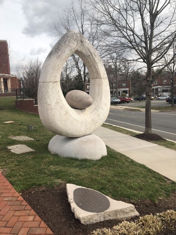
3. Just to the south of the Triangle Site Marker is "Three Eggs in Space"

Photographed By Devry Becker Jones (CC0), March 30, 2018
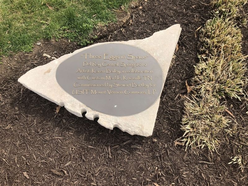
4. Dedication plaque on "Three Eggs in Space"
Del Ray Central, Spring 2010
Artist: Karen Bailey, in collaboration with Custom Marble, Knoxville TN
Commissioned by Stewart Bartley for USPF Mount Vernon Commons, L.P.
Credits. This page was last revised on January 27, 2023. It was originally submitted on March 30, 2018, by Devry Becker Jones of Washington, District of Columbia. This page has been viewed 270 times since then and 25 times this year. Photos: 1, 2, 3, 4. submitted on March 30, 2018, by Devry Becker Jones of Washington, District of Columbia. • Bernard Fisher was the editor who published this page.

