Old Town in Alexandria, Virginia — The American South (Mid-Atlantic)
Colonel Francis Peyton
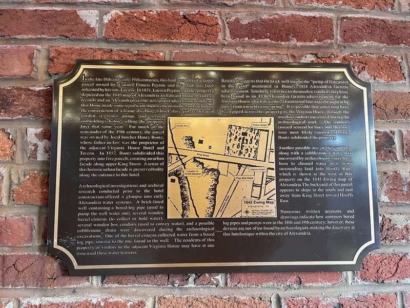
Archaeological investigations and archival research conducted prior to the hotel construction offered a glimpse into early Alexandria water systems. A brick-lined well containing
this page online
Research suggests that the brick well may be the "pump of fine water in the yard" mentioned in Home's 1851 Alexandria Gazette advertisement. Similarly reference to the wooden conduits may have been found in an 1830 Alexandria Gazette advertisement for the Virginia House, which describes "a fountain of fine water brought in by pipes from a neighboring spring". It is possible that water may have been piped across this property to the Virginia House, through the wooden conduits uncovered during the archaeological work. The conduits crossed several lot lines and therefore were most likely constructed before Bontz subdivided the property.
Another possible use
Numerous written accounts and drawings indicate how common bored log pipes and pumps were in the 18th and 19th century; however, these devices are not often found by archaeologists, making the discover at this hotel unique within the city of Alexandria.
Topics. This historical marker is listed in these topic lists: Architecture • Communications • Roads & Vehicles. A significant historical year for this entry is 1851.
Location. 38° 48.375′ N, 77° 3.406′ W. Marker is in Alexandria, Virginia. It is in Old Town. It is on King Street (Virginia Route 7) west of South Peyton Street, on the left when traveling west. Touch for map. Marker is at or near this postal address: 1602 King Street, Alexandria VA 22314, United States of America. Touch for directions.

Regionally, this marker is in the
Photographed by J. Makali Bruton, November 23, 2025
3. Colonel Francis Peyton Marker
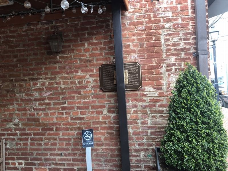
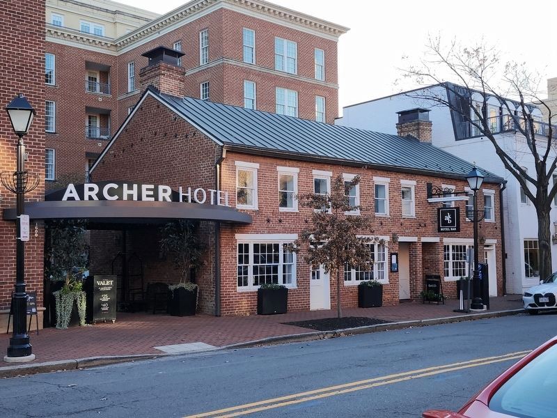
The marker is under the hotel's entryway.
Other nearby markers. At least 8 other markers are within walking distance of this marker: Freedom House Museum (about 600 feet away); King Street Gardens Park (about 600 feet away); Alexandria, D.C. (about 700 feet away); The Growth of Upper King Street (approx. 0.2 miles away); Shuter's Hill (approx. 0.2 miles away); The Duke Street Tanyard (approx. 0.2 miles away); L’Ouverture Hospital (approx. 0.2 miles away); Shiloh Baptist Church (approx. 0.2 miles away). Touch for a list and map of all markers in Alexandria.
Another marker is no longer nearby. ASIS International 9/11 Memorial (was about 300 feet away, measured in a direct line but has been confirmed missing).
Credits. This page was last revised on November 24, 2025. It was originally submitted on March 31, 2018, by Devry Becker Jones of Washington, District of Columbia. This page has been viewed 1,101 times since then and 75 times this year. Photos: 1. submitted on November 12, 2023, by Devry Becker Jones of Washington, District of Columbia. 2. submitted on March 31, 2018, by Devry Becker Jones of Washington, District of Columbia. 3. submitted on November 24, 2025, by J. Makali Bruton of Washington, District of Columbia. • Bernard Fisher was the editor who published this page.
