Slidell in St. Tammany Parish, Louisiana — The American South (West South Central)
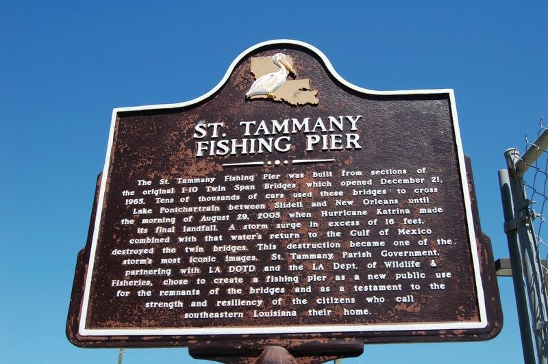
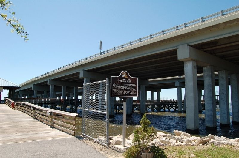
St. Tammany Fishing Pier
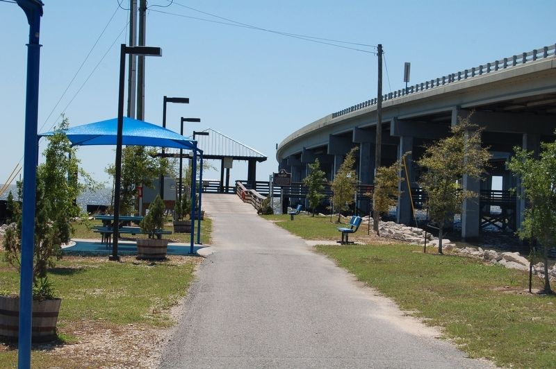
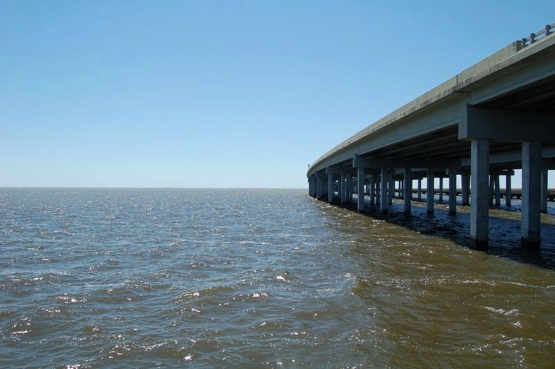
The St. Tammany Fishing Pier was built from sections of the original I-10 Twin Span Bridges which opened December 21, 1965. Tens of thousands of cars used these bridges to cross Lake Pontchartrain between Slidell and New Orleans until the morning of August 29, 2005 when Hurricane Katrina made its final landfall. A storm surge in excess of 16 feet, combined with that water's return to the Gulf of Mexico destroyed the twin bridges. This destruction became one of the storm's most iconic images. St. Tammany Parish Government, partnering with LA DOTD and the LA Dept. of Wildlife Fisheries, chose to create a fishing pier as a new public use for the remnants of the bridges and as a testament to the s strength and resiliency of the citizens who call southeastern Louisiana their home.
Topics. This historical marker is listed in these topic lists: Disasters • Parks & Recreational Areas. A significant historical date for this entry is August 29, 2005.
Location. 30° 12.617′ N, 89° 47.662′ W. Marker is in Slidell, Louisiana, in St. Tammany Parish. Marker can be reached from East Howze Beach Road, half a mile west of West End Boulevard. Touch for map. Marker is at or near this postal address: 54001 East Howze Beach Road, Slidell LA 70461, United States of America. Touch for directions.
Other nearby markers. At least 8 other markers are within 6 miles of this marker, measured as the crow flies. John Slidell (approx. 4.6 miles away); City of Slidell Centennial (approx. 4.6 miles away); Slidell Town Hall and Jail (approx. 4.6 miles away); a different marker also named John Slidell (approx. 4.6 miles away); 1st United Methodist Church (approx. 4.6 miles away); Slidell: An Overview (approx. 4.9 miles away); a different marker also named John Slidell (approx. 4.9 miles away); Salmen Lodge (approx. 5.9 miles away). Touch for a list and map of all markers in Slidell.
More about this marker. Small admission fee charged to access pier.
Also see . . . St. Tammany Fishing Pier website. (Submitted on April 1, 2018, by Cajun Scrambler of Assumption, Louisiana.)
Credits. This page was last revised on June 26, 2022. It was originally submitted on April 1, 2018, by Cajun Scrambler of Assumption, Louisiana. This page has been viewed 307 times since then and 11 times this year. Photos: 1, 2, 3, 4. submitted on April 1, 2018.


