Bald Head Island in Brunswick County, North Carolina — The American South (South Atlantic)
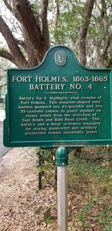
Fort Holmes, 1863-1865 Battery No. 4
Erected by Village of Bald Head Island.
Topics. This historical marker is listed in these topic lists: Forts and Castles • War, US Civil. A significant historical year for this entry is 1863.
Location. 33° 52.334′ N, 77° 59.985′ W. Marker is on Bald Head Island, North Carolina, in Brunswick County. Marker is at the intersection of Light House Wynd and North Bald Head Wynd, on the left when traveling north on Light House Wynd. Touch for map. Marker is in this post office area: Southport NC 28461, United States of America. Touch for directions.
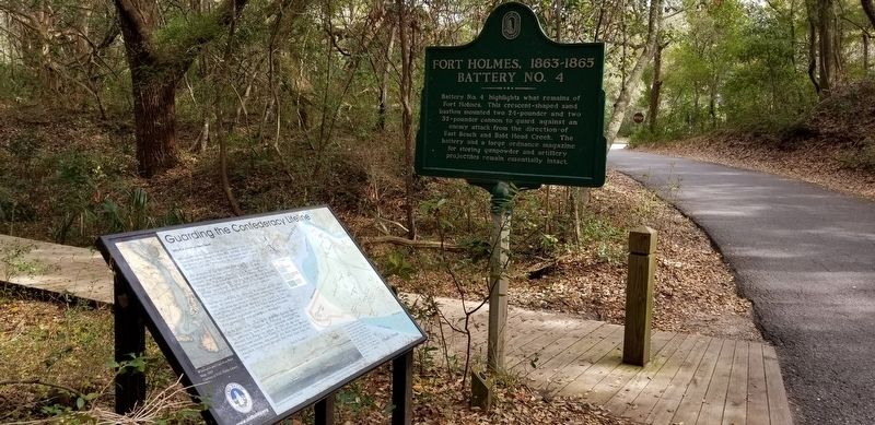
Other nearby markers. At least 8 other markers are within 3 miles of this marker, measured as the crow flies. Guarding the Confederacy Lifeline (here, next to this marker); Fort Holmes, 1863-1865 Encampment Site (about 500 feet away, measured in a direct line); Revolutionary War Fort (about 500 feet away); Fort Holmes, 1863-1865 Battery Holmes (approx. ¼ mile away); Fort Holmes, 1863-1865 Batteries No. 1 and No. 2 (approx. half a mile away); Confederate Blockade Runner Ella (approx. 0.9 miles away); Captain Charlie’s Station (approx. 2.6 miles away); Generator House (approx. 2.6 miles away). Touch for a list and map of all markers in Bald Head Island.
Additional commentary.
1. Battery No.4 site
I did not walk down this footpath shown in photo. I assume there would be a good photo-op of the battery at the end? If so maybe someone will add it.
— Submitted April 1, 2018, by Charles Keller of Myrtle Beach, South Carolina.
Credits. This page was last revised on October 3, 2018. It was originally submitted on April 1, 2018, by Charles Keller of Myrtle Beach, South Carolina. This page has been viewed 336 times since then and 18 times this year. Photos: 1, 2. submitted on April 1, 2018, by Charles Keller of Myrtle Beach, South Carolina. • Bernard Fisher was the editor who published this page.

