Ciudad Colonial in Santo Domingo, Distrito Nacional, Dominican Republic — Caribbean Region of the Americas (Hispaniola, Greater Antilles, West Indies)
The Church of Our Lady of Carmen
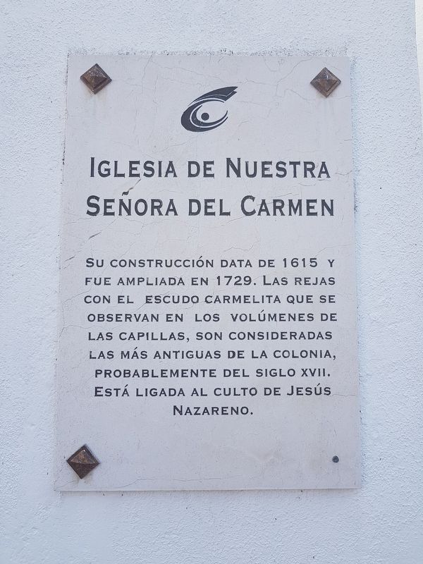
Photographed by J. Makali Bruton, March 10, 2018
1. The Church of Our Lady of Carmen Marker

Erected by Ministerio de Cultura.
Topics. This historical marker is listed in these topic lists: Colonial Era • Religion & Religious Structures. A significant historical year for this entry is 1615.
Location. 18° 28.286′ N, 69° 53.33′ W. Marker is in Ciudad Colonial, Distrito Nacional, in Santo Domingo. It is on Calle Arzobispo Nouel just west of Calle Sánchez, on the left when traveling west. Touch for map. Marker is in this post office area: Ciudad Colonial, Distrito Nacional 10210, Dominican
this page online

Regionally, it is one of the Greater Antilles on the Caribbean Sea, on in the Atlantic Ocean, in North America, and in the Western Hemisphere. Historically, it finds itself in what was once New Spain and also a Spanish colony.
Other nearby markers. At least 8 other markers are within walking distance of this marker: La Trinitaria Secret Society (a few steps from this marker); Ramón Matías Mella (within shouting distance of this marker); Chapel of the San Andrés Hospital (about 150 meters away, measured in a direct line); The Church and Convent of Regina Angelorum (about 180 meters away); Federico Henriquez y Carvajal (about 210 meters away); The St. Thomas Aquinas Academy (about 210 meters away); José Gabriel García (approx. 0.2 kilometers away); Luisa Ozema Pellerano de Henríquez (approx. 0.2 kilometers away). Touch for a list and map of all markers in Ciudad Colonial.
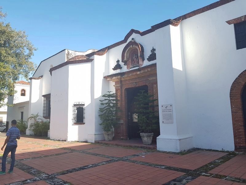
Photographed by J. Makali Bruton, March 10, 2018
2. The Church of Our Lady of Carmen Marker
The marker is to the right of the church's main entrance. An example of the "bars with the Carmelite coat of arms" can be seen to the left of the entrance covering the window.
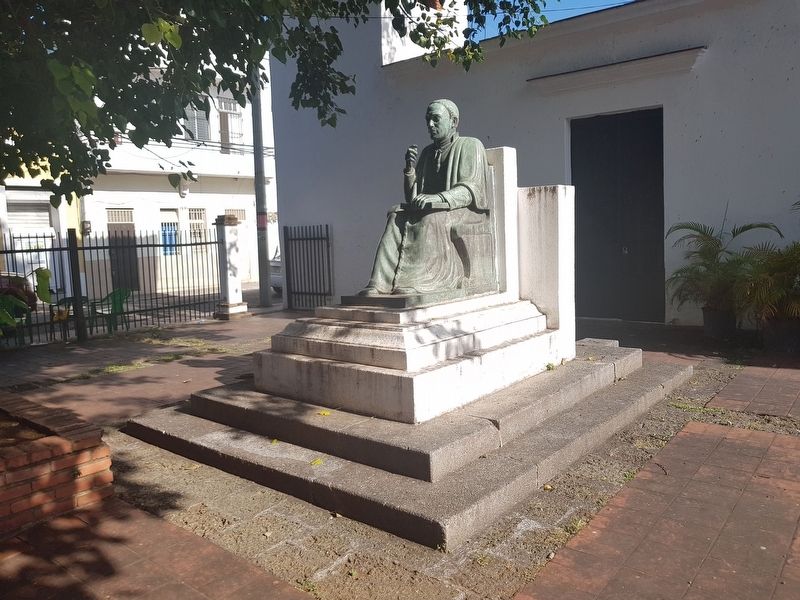
Photographed by J. Makali Bruton, March 10, 2018
3. A nearby statue at The Church of Our Lady of Carmen
The statue's inscription reads: Padre Gaspar Hernandez (1738-1858)
Credits. This page was last revised on January 4, 2023. It was originally submitted on April 1, 2018, by J. Makali Bruton of Washington, District of Columbia. This page has been viewed 474 times since then and 60 times this year. Photos: 1, 2, 3. submitted on April 1, 2018, by J. Makali Bruton of Washington, District of Columbia.
