Pembroke in Merrimack County, New Hampshire — The American Northeast (New England)
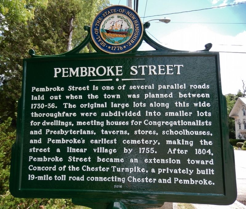
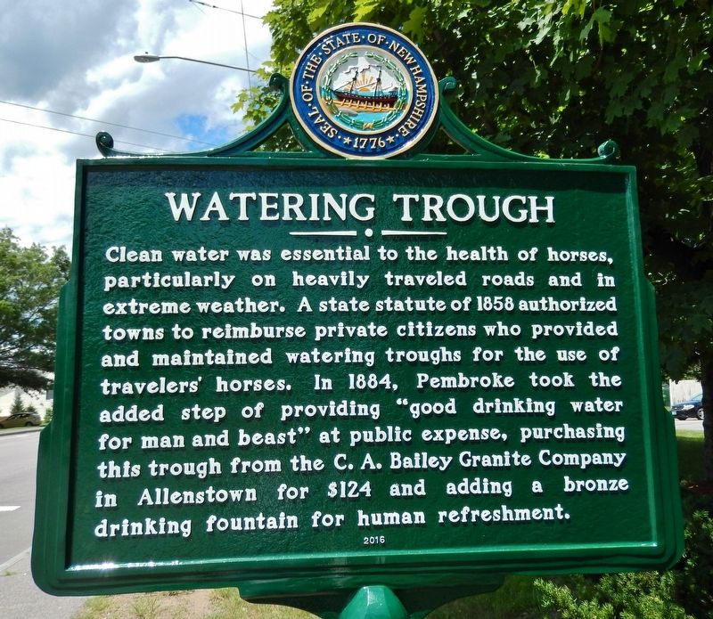
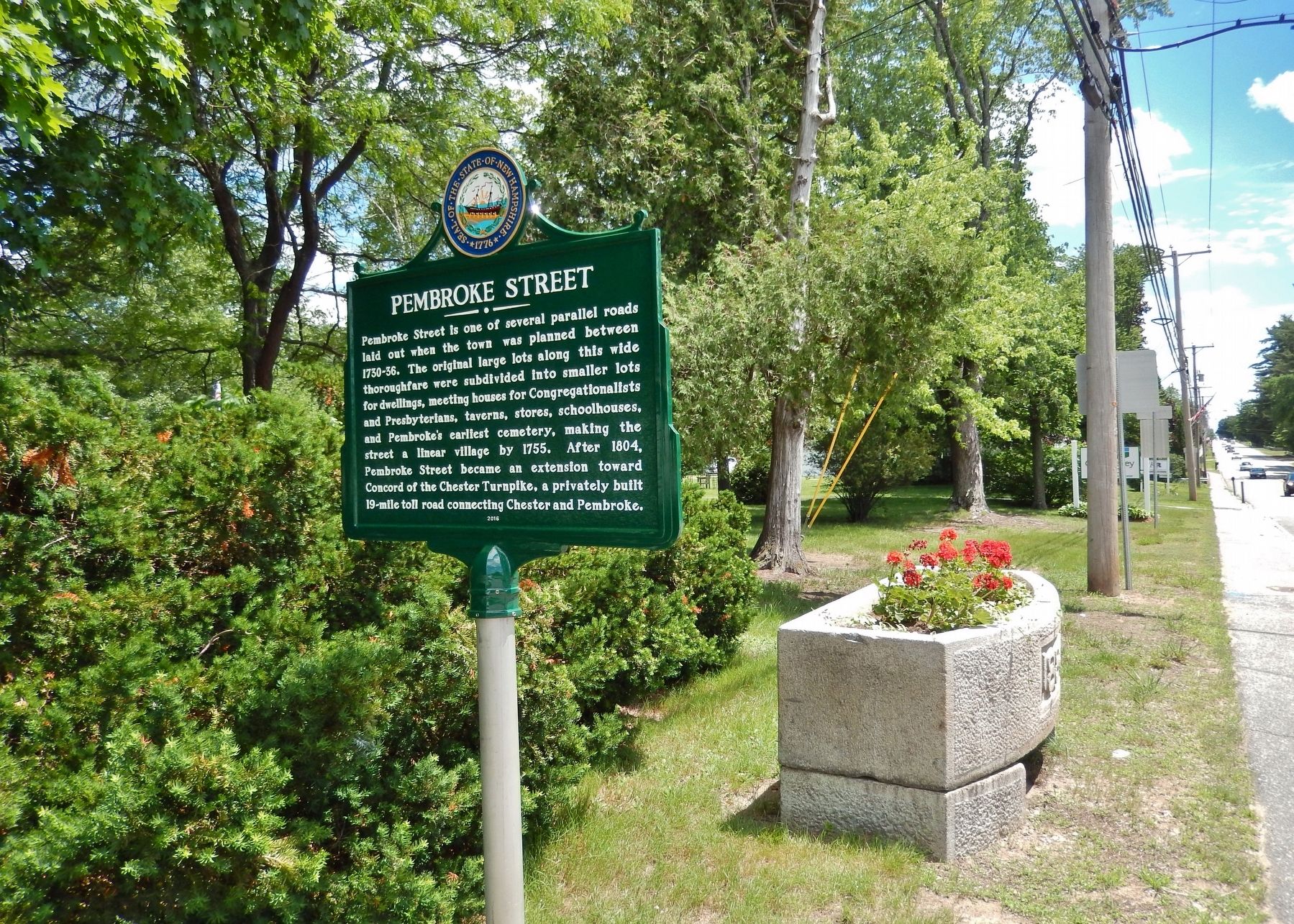
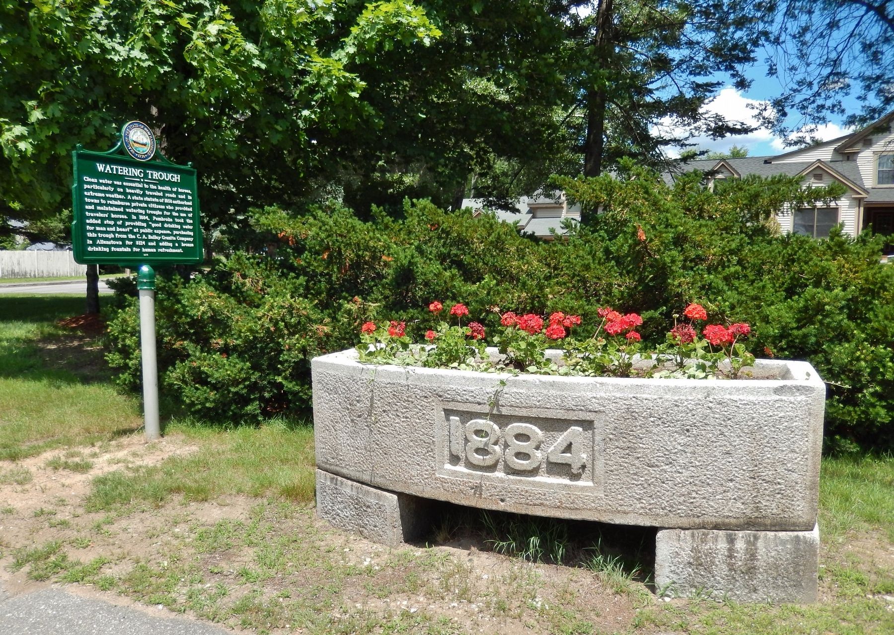
Pembroke Street / Watering Trough
Pembroke Street. Pembroke Street is one of several parallel roads laid out when the town was planned between 1730-36. The original large lots along this wide thoroughfare were subdivided into smaller lots for dwellings, meeting houses for Congregationalists and Presbyterians, taverns, stores, schoolhouses, and Pembroke's earliest cemetery, making the street a linear village by 1755. After 1804, Pembroke Street became an extension toward Concord of the Chester Turnpike, a privately built 19-mile toll road connecting Chester and Pembroke.
Watering Trough. Clean water was essential to the health of horses, particularly on heavily traveled roads and in extreme weather. A state statute of 1858 authorized towns to reimburse private citizens who provided and maintained watering troughs for the use of travelers' horses. In 1884, Pembroke took the added step of providing "good drinking water for man and beast" at public expense, purchasing this trough from the C. A. Bailey Granite Company in Allenstown for $124 and adding a bronze drinking fountain for human refreshment.
Erected 2016 by State of New Hampshire.
Topics. This historical marker is listed in these topic lists: Animals • Roads & Vehicles • Settlements & Settlers.
Location.
Other nearby markers. At least 8 other markers are within 4 miles of this marker, measured as the crow flies. First Meeting House (approx. 0.2 miles away); Josie Langmaid (approx. 1.2 miles away); George M. Lamiette Square (approx. 2 miles away); Suncook Village (approx. 2 miles away); Suncook Connection Bridge (approx. 2.2 miles away); Andrew Jackson’s Visit (approx. 3.1 miles away); Robert Frost in Allenstown / Buck Street Mills (approx. 3.2 miles away); Portsmouth & Concord Railroad (approx. 3.7 miles away). Touch for a list and map of all markers in Pembroke.
Also see . . .
1. About Pembroke. Town website entry:
Incorporation of Pembroke was granted on November 1, 1759, "authorizing the levying and collecting such Province Tax as shall be imposed upon them by law as any other Town or Parish in this Province." On the passage of the act of incorporation, the Plantation of Suncook ceased to be and the Town of Pembroke took her place in the fair sisterhood of the Commonwealth of New Hampshire to enjoy all the rights and privileges belonging to towns. (Submitted on April 2, 2018, by Cosmos Mariner of Cape Canaveral, Florida.)
2. Pembroke, New Hampshire. Wikipedia entry:
Pembroke's early history is reflected in the various mills of the downtown area, located to use water power from the Suncook River. The better-known mills were the Pembroke Mills, Webster Manufacturing and China Manufacturing, all producing print cloth. Pembroke industries included brickmaking, with bricks manufactured from clay along the Merrimack River. In 1852, the Concord and Portsmouth Railroad established a station in Pembroke. (Submitted on April 2, 2018, by Cosmos Mariner of Cape Canaveral, Florida.)
Credits. This page was last revised on November 26, 2023. It was originally submitted on April 2, 2018, by Cosmos Mariner of Cape Canaveral, Florida. This page has been viewed 420 times since then and 44 times this year. Photos: 1, 2, 3, 4. submitted on April 2, 2018, by Cosmos Mariner of Cape Canaveral, Florida. • Andrew Ruppenstein was the editor who published this page.


