Near Cleveland in Bradley County, Tennessee — The American South (East South Central)
Civil War "No Man's Land"
Photographed by Tom Bosse, April 3, 2018
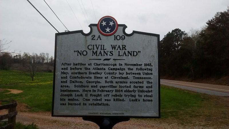
1. Civil War "No Man's Land" Marker
After battles at Chattanooga in November 1863, and before the Atlanta Campaign the following May, southern Bradley County lay between Union and Confederate lines at Cleveland, Tennessee, and Dalton, Georgia. Both armies scouted the area. Soldiers and guerrillas looted farms and businesses. Here in February 1864 elderly Unionist Joseph Lusk II fought off rebels trying to steal his mules. One rebel was killed. Lusk's home was burned in retaliation.
Erected 2015 by Tennessee Historical Commission. (Marker Number 2A 109.)
Topics and series. This historical marker is listed in this topic list: War, US Civil. In addition, it is included in the Tennessee Historical Commission series list. A significant historical month for this entry is February 1864.
Location. 35° 0.532′ N, 84° 55.213′ W. Marker is near Cleveland, Tennessee, in Bradley County. It is on Dalton Pike (Tennessee Route 60) 0.4 miles south of Old Weatherly Switch Road SE ( Route 317), on the left when traveling south. Touch for map. Marker is at or near this postal address: 7723 Dalton Pike, Cleveland TN 37323, United States of America. Touch for directions.

Regionally,
this page online
Other nearby markers. At least 8 other markers are within 2 miles of this marker, measured as the crow flies: Red Clay Council Ground (approx. 1.2 miles away); The Cherokee Today (approx. 1.8 miles away); Inside the Farmhouse (approx. 1.8 miles away); A Visitor's Account (approx. 1.8 miles away); Blacksmith Shop (approx. 1.8 miles away); Cherokee Farmstead (approx. 1.8 miles away); Sleeping Huts (approx. 1.8 miles away); Red Clay Council (approx. 1.8 miles away). Touch for a list and map of all markers in Cleveland.
Photographed by Tom Bosse, April 3, 2018
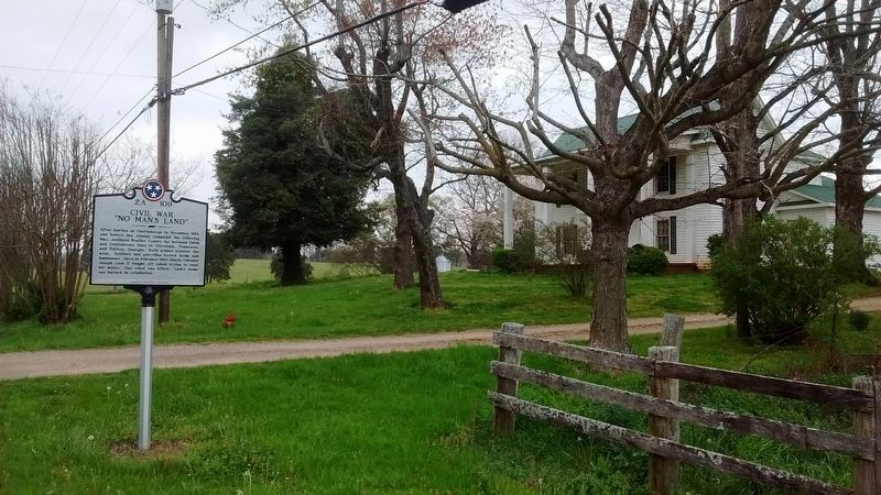
2. Civil War "No Man's Land" Marker
Credits. This page was last revised on July 23, 2023. It was originally submitted on April 3, 2018, by Tom Bosse of Jefferson City, Tennessee. This page has been viewed 4,572 times since then and 328 times this year. Photos: 1, 2. submitted on April 3, 2018, by Tom Bosse of Jefferson City, Tennessee. • Bernard Fisher was the editor who published this page.
