Goldfield in Esmeralda County, Nevada — The American Mountains (Southwest)
West Side Elementary School
Goldfield Public Library
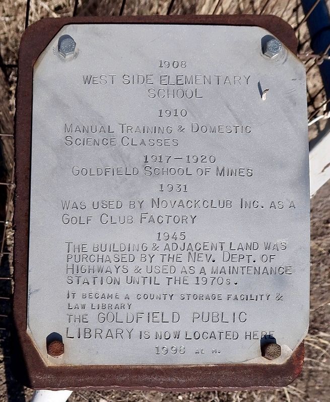
Photographed by Craig Baker
1. West Side Elementary School Marker
1908 - West Side Elementary School.
1910 - Manual training & domestic science classes.
1917-1920 - Goldfield School of Mines.
1931 - Was used by Novackclub Inc. as a golf club factory.
1945 - The building & adjacent land was purchased by the Nev. Dept of Highways
& used as a maintenance station until the 1970s.
It became a county storage facility & law library.
The Goldfield Public Library is now located here.
Erected 1996.
Topics. This historical marker is listed in these topic lists: Education • Industry & Commerce • Roads & Vehicles. A significant historical year for this entry is 1908.
Location. 37° 42.626′ N, 117° 14.422′ W. Marker is in Goldfield, Nevada, in Esmeralda County. It is at the intersection of Veterans Memorial Hwy (U.S. 95) and 4th Street, on the right when traveling east on Veterans Memorial Hwy. Touch for map. Marker is at or near this postal address: 501 Crook Ave, Goldfield NV 89013, United States of America. Touch for directions.

Regionally, this marker is in the Sierra Nevada and specifically in Central Nevada. It is also in the American Southwest and in the
this page online
Other nearby markers. At least 8 other markers are within walking distance of this marker: Goldfield (approx. 0.2 miles away); Goldfield’s Railroads (approx. 0.2 miles away); Where’s Gran Pah? (approx. 0.2 miles away); California Beer Hall Warehouse (approx. 0.3 miles away); Nixon Wingfield Building (approx. 0.3 miles away); Consolidated Telephone-Telegraph Company Building (approx. 0.3 miles away); Goldfield Community Center (approx. 0.4 miles away); Gans vs. Nelson (approx. 0.4 miles away). Touch for a list and map of all markers in Goldfield.
Another marker is no longer nearby. Southern Nevada Consolidated Telephone-Telegraph Company Building (was approx. 0.3 miles away but has been replaced with another marker now near it).
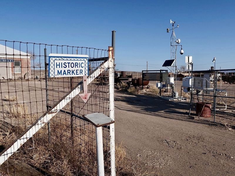
Photographed by Craig Baker
2. West Side Elementary School Marker
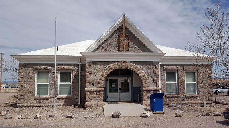
Photographed by Douglass Halvorsen, March 31, 2018
3. West Side Elementary School
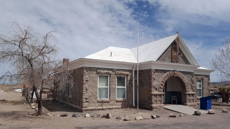
Photographed by Douglass Halvorsen, March 31, 2018
4. West Side Elementary School
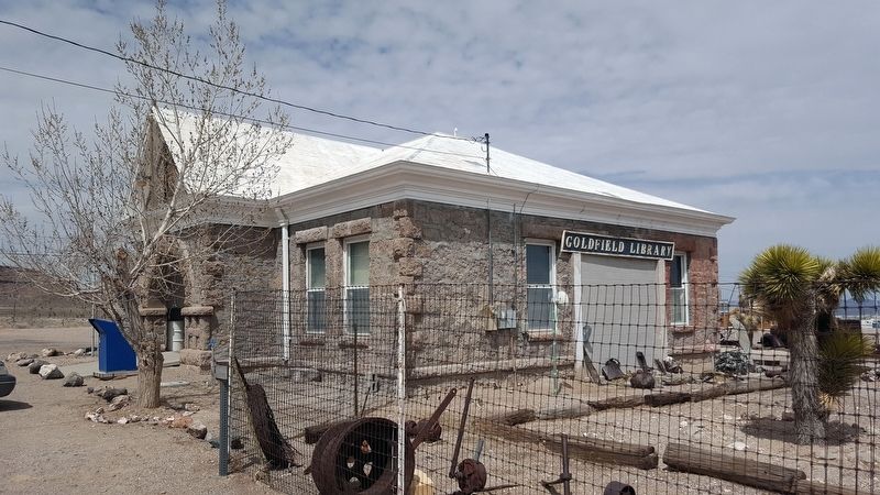
Photographed by Douglass Halvorsen, March 31, 2018
5. West Side Elementary School
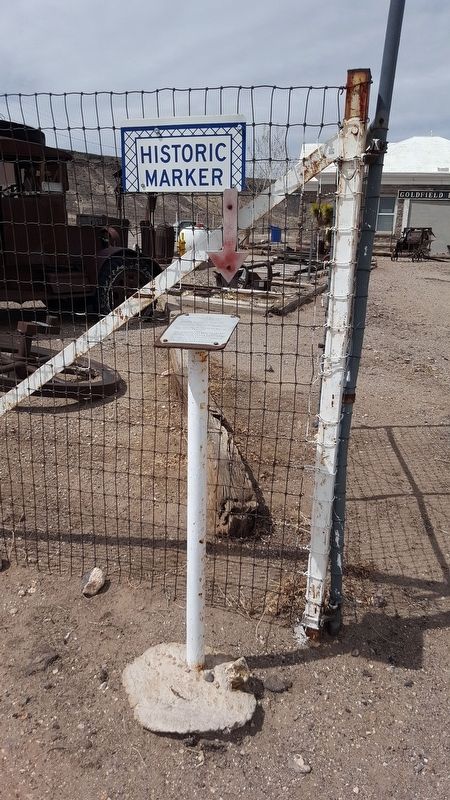
Photographed by Douglass Halvorsen, March 31, 2018
6. West Side Elementary School Marker
Credits. This page was last revised on May 8, 2026. It was originally submitted on April 5, 2018, by Douglass Halvorsen of Klamath Falls, Oregon. This page has been viewed 419 times since then and 24 times this year. Photos: 1, 2. submitted on March 29, 2024, by Craig Baker of Sylmar, California. 3, 4, 5, 6. submitted on April 5, 2018, by Douglass Halvorsen of Klamath Falls, Oregon. • Andrew Ruppenstein was the editor who published this page.
