Rock Creek Park in Northwest Washington in Washington, District of Columbia — The American Northeast (Mid-Atlantic)
Fort DeRussy
Rock Creek Park
— National Park Service, U.S. Department of the Interior —
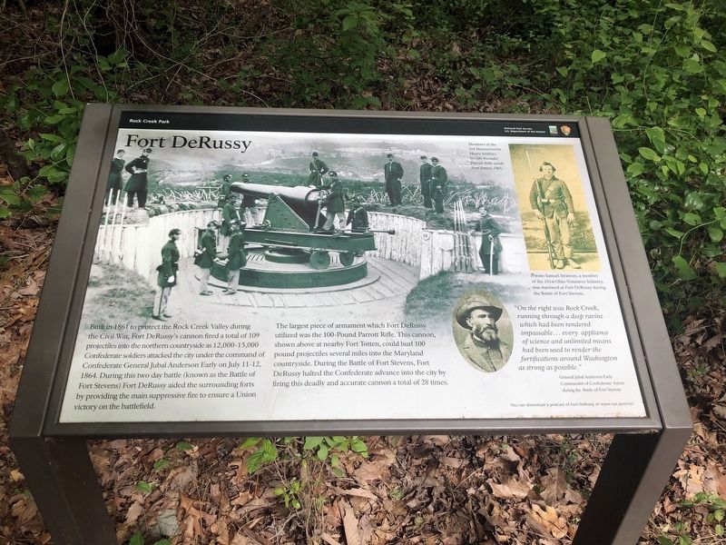
Built in 1861 to protect the Rock Creek Valley during the Civil War, Fort DeRussy's cannon fired a total of 109 projectiles into the northern countryside as 12,000-15,000 Confederate soldiers attacked the city under the command of Confederate General Jubal Anderson Early on July 11-12, 1864. During this two day battle (known as the Battle of Fort Stevens) Fort DeRussy aided the surrounding forts by providing the main suppressive fire to ensure a Union victory on the battlefield.
The largest piece of armament which Fort DeRussy utilized was the 100-Pound Parrott Rifle. This cannon, shown above at nearby Fort Totten, could hurl 100 pound projectiles several miles into the Maryland countryside. During the Battle of Fort Stevens, Fort DeRussy halted the Confederate advance into the city by firing this deadly and accurate cannon a total of 28 times.
Erected by National Park Service, U.S. Department of the Interior.
Topics and series. This historical marker is listed in these topic lists: Forts and Castles • War, US Civil. In addition, it is included in the Defenses of Washington series list. A significant historical month for this entry is July 1861.
Location. 38° 57.782′ N, 77° 3.039′ W. Marker is in Northwest Washington in Washington , District of Columbia. It is in Rock Creek Park. Marker can be reached from the intersection of Oregon Avenue Northwest and Military Road Northwest, on the right when traveling north. Marker is located about 200 yards northeast of the intersection and is accessed by a trail through the woods. Touch for map. Marker is in this post office area: Washington DC 20015, United States of America. Touch for directions.
Other nearby markers. At least 8 other markers are within walking distance of this marker. A different marker also named Fort DeRussy (here, next to this marker); Fort De Russy (about 600 feet away, measured in a direct line); Herring Highway (approx. 0.2 miles away); A Garden Protecting Rock Creek (approx. ¼ mile away); Tupelo Tree (approx. ¼ mile away); a different marker also named Herring Highway (approx. ¾ mile away); An African American Enclave (approx. 0.9 miles away); Early Entrepreneurs (approx. 0.9 miles away). Touch for a list and map of all markers in Northwest Washington.
More about this marker.
[Captions:]
[image Parrott Rifle at Fort Totten]
Members of the 3rd Massachusetts Heavy Artillery by 100-Pounder Parrott Rifle inside Fort Totten, 1865.
[photo of Private Samuel Strawser]
Private Samuel Strawser, a member of the 151st Ohio Volunteer Infantry, was stationed at Fort DeRussy during the Battle of Fort Stevens.
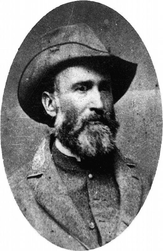
[photo of General Jubal Early]
"On the right was Rock Creek,
Photographed By Devry Becker Jones (CC0), May 26, 2020
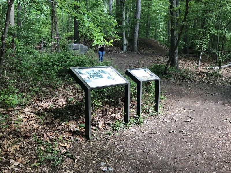
2. Fort DeRussy Marker
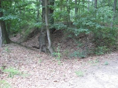
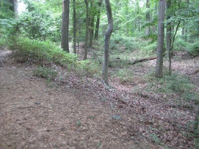
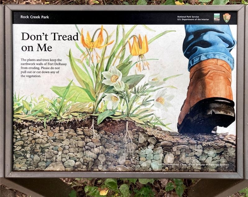
The second marker on the right asks visitors to not pull out or cut down vegetation around Fort DeRussy as they are helping to keep the fort intact. Behind these markers is a stone marker for the fort, and behind it can be seen part of the exterior walls of the fort.
You can download a podcast of Fort DeRussy at www.nps.gov/rocr.
Library of Congress
5. Jubal A. Early
“On the right was Rock Creek, running through a deep ravine which had been rendered impassable... every appliance of science and unlimited means had been used to render the fortifications around Washington as strong as possible.” - General Jubal Anderson Early, Commander of Confederate forces during the Battle of Fort Stevens.
Credits. This page was last revised on January 30, 2023. It was originally submitted on July 14, 2009, by F. Robby of Baltimore, Maryland. This page has been viewed 2,507 times since then and 36 times this year. Last updated on April 9, 2018, by Allen C. Browne of Silver Spring, Maryland. Photos: 1, 2. submitted on May 26, 2020, by Devry Becker Jones of Washington, District of Columbia. 3, 4. submitted on July 14, 2009, by F. Robby of Baltimore, Maryland. 5, 6. submitted on September 20, 2022, by Allen C. Browne of Silver Spring, Maryland. • Bill Pfingsten was the editor who published this page.
