Boonsboro in Washington County, Maryland — The American Northeast (Mid-Atlantic)
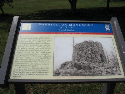
Washington Monument
Signal Station
— Antietam Campaign 1862 —
The two armies revisited this valley in 1863 during the Confederate retreat after the Battle of Gettysburg. They sparred across Washington County, July 5-14, fighting at Boonsboro, Funkstown, and Hagerstown.
Erected by Maryland Civil War Trails.
Topics and series. This historical marker and monument is listed in these topic lists: Communications • War, US Civil . In addition, it is included in the Maryland Civil War Trails series list. A significant historical month for this entry is July 1736.
Location. 39° 30.879′ N, 77° 39.453′ W. Marker is in Boonsboro, Maryland, in Washington County. Marker is on North Main Street / Old National Road (Alternate U.S. 40), on the right when traveling south. Marker is in Northwest corner of the Boonsboro Historical Park. Touch for map. Marker is in this post office area: Boonsboro MD 21713, United States of America. Touch for directions.
Other nearby markers. At least 8 other markers are within walking distance of this marker. Town of Boonsboro (within shouting distance of this marker); Korean War Memorial (approx. 0.3 miles away); World Wars I & II Memorial (approx. 0.3 miles away); Vietnam Memorial (approx. 0.3 miles away); Boonsboro (approx. 0.4 miles away); Stonewall Jackson's Way (approx. 0.4 miles away); The National Road (approx. 0.4 miles away); Gettysburg Campaign (approx. 0.4 miles away). Touch for a list and map of all markers in Boonsboro.
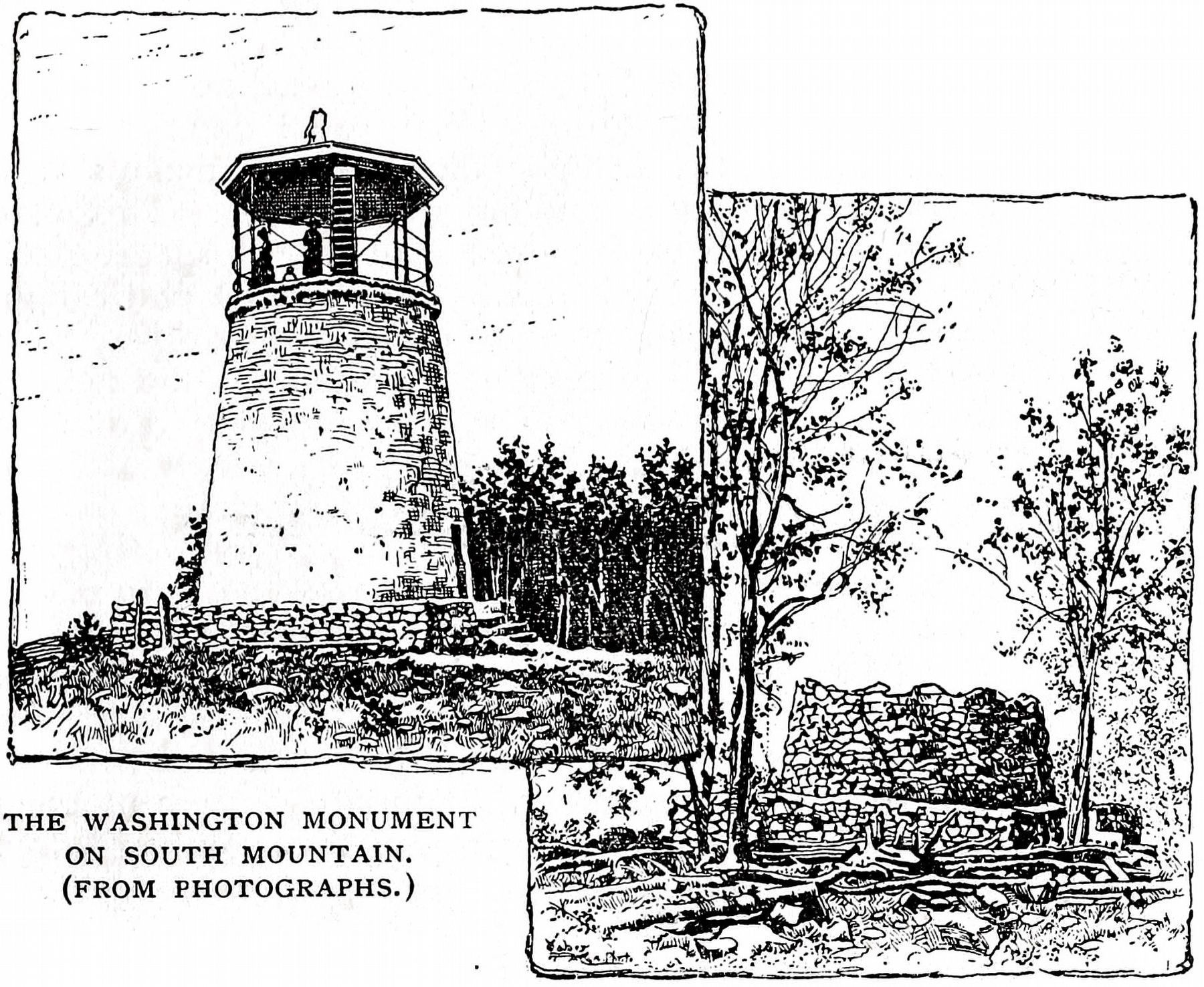
More about this monument. The marker also displays a 19th Century picture of the monument.
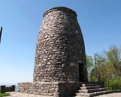
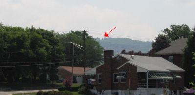
Regarding Washington Monument. The Washington Monument mentioned on the marker can be seen in the distance on South Mountain.
Also see . . . (PDF) National Register of Historic Places - Inventory Nomination Form No. WA-II-501, 11/3/1972.
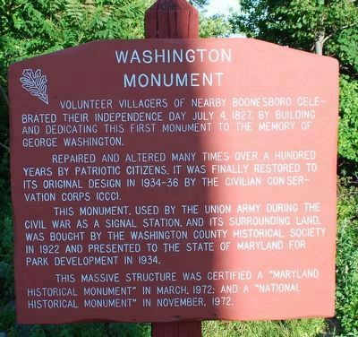
Reportedly built in a single day, the monument was completed and dedicated on July 4, 1827. It is significant as the first monument to George Washington in the United States...Vandals and the elements had reduced the Washington County monument to a mere few feet in height by the time of the Civil War. In this tumbled down condition the monument served as a Union Signal Station during the Battle of Antietam and after the Battle of Gettysburg while General Lee's army lingered north of the Potomac River. (Submitted on November 17, 2020, by Allen C. Browne of Silver Spring, Maryland.)
Photographed By Craig Swain, June 9, 2007
3. The Washington Monument on South Mountain.
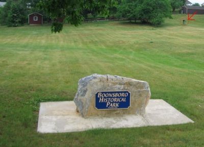
The red arrow points to the Washington Monument on South Mountain. On a knob along side the old National Road as it passes Turner's Gap, the monument was indeed a good observation post and a reference point for maneuvering units.
Photographed By Brandon Fletcher, June 24, 2009
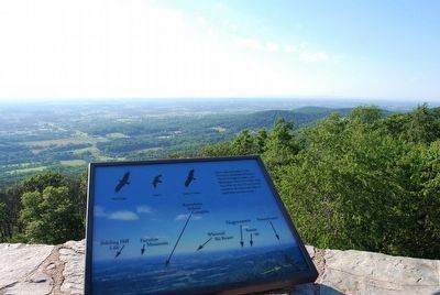
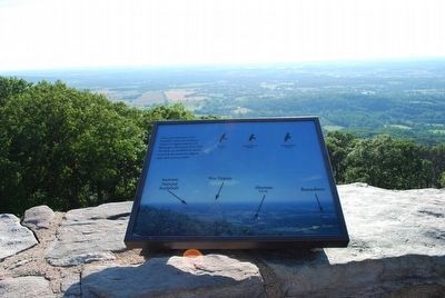
8. Marker atop the Washington Monument
From early September to late November thousands of Raptors (Hawks & Eagles) migrate past Washington Monument State Park. The birds use the deflective winds created by the mountain ridge to make their journey south.
Credits. This page was last revised on November 25, 2020. It was originally submitted on June 15, 2007, by Craig Swain of Leesburg, Virginia. This page has been viewed 2,801 times since then and 24 times this year. Photos: 1, 2, 3. submitted on June 15, 2007, by Craig Swain of Leesburg, Virginia. 4. submitted on April 30, 2010. 5, 6. submitted on August 9, 2015, by Brandon Fletcher of Chattanooga, Tennessee. 7. submitted on November 17, 2020, by Allen C. Browne of Silver Spring, Maryland. 8, 9. submitted on August 9, 2015, by Brandon Fletcher of Chattanooga, Tennessee. • J. J. Prats was the editor who published this page.
