Colonia Venustiano Carranza in Ciudad de México, Mexico — The Valley of Mexico (The Central Highlands)
Venustiano Carranza
Photographed by J. Makali Bruton, March 16, 2018
1. Venustiano Carranza Marker
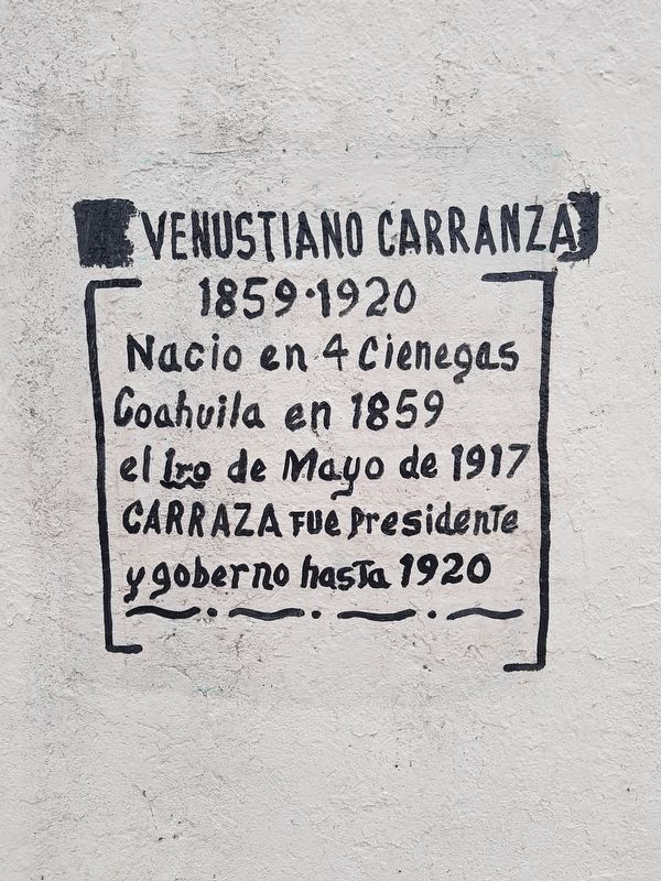
"Carranza" is misspelled in the marker text as "Carraza".

1859-1920
Nacio en 4 Cienegas
Coahuila en 1859
el 1ro de Mayo de 1917
Carraza fue Presidente
y gobernó hasta 1920
1859-1920
Born in Cuatro Ciénagas, Coahuila in 1859,
Carranza was President of Mexico from May 1, 1917 and governed until 1920
Topics. This historical marker is listed in these topic lists: Government & Politics • Wars, Non-US. A significant historical date for this entry is May 1, 1917.
Location. 19° 26.267′ N, 99° 6.65′ W. Marker is in Ciudad de México. It is in Colonia Venustiano Carranza. It is at the intersection of Eje 1 Norte and Calle Anfora, on the right when traveling west on Eje 1 Norte. Touch for map. Marker is in this post office area: Ciudad de México 15340, Mexico. Touch for directions.

Regionally, this marker is in Central Mexico and specifically in Mexico City Metropolitan Area. Globally, it is in North America, specifically in Mesoamerica, on the Ring of Fire, and in the Western Hemisphere. Historically, it finds itself in what was once New Spain, a Spanish colony, and the Aztec Empire.
Other nearby markers. At least 8 other
this page online
Also see . . . Venustiano Carranza the Encyclopedia Brittanica. (Submitted on April 11, 2018, by J. Makali Bruton of Washington, District of Columbia.)
Photographed by J. Makali Bruton, March 16, 2018
2. Venustiano Carranza Marker
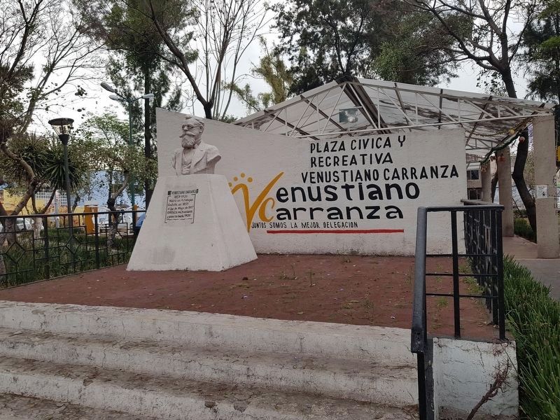
The marker is near a small civic plaza and recreation center in the Delegation (subdivision of Mexico City) that bears the ex-President's name.
Photographed by J. Makali Bruton, March 16, 2018
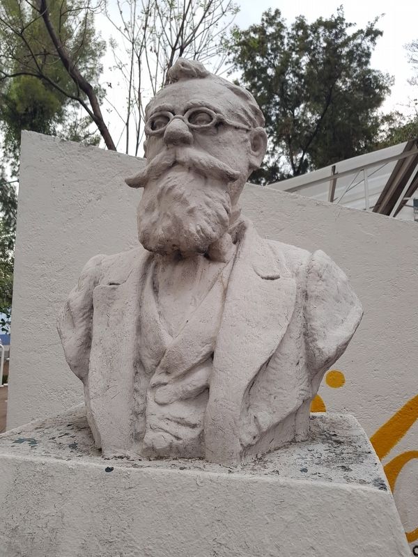
3. Venustiano Carranza bust
Photographed by Bain News Service, September 15, 1915
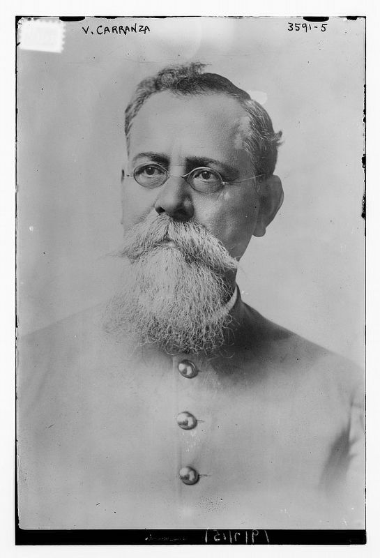
4. Venustiano Carranza
Courtesy of the Library of Congress
Credits. This page was last revised on February 7, 2023. It was originally submitted on April 11, 2018, by J. Makali Bruton of Washington, District of Columbia. This page has been viewed 232 times since then and 16 times this year. Photos: 1, 2, 3, 4. submitted on April 11, 2018, by J. Makali Bruton of Washington, District of Columbia.
