Waterville in Kennebec County, Maine — The American Northeast (New England)
Immigration
The Museum in the Streets
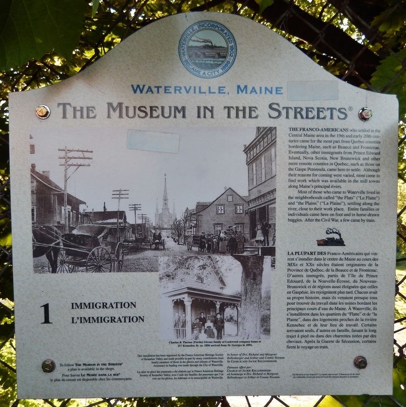
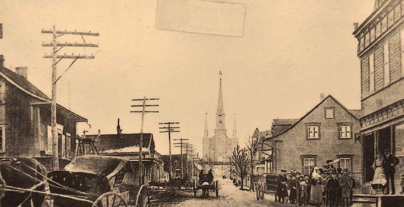
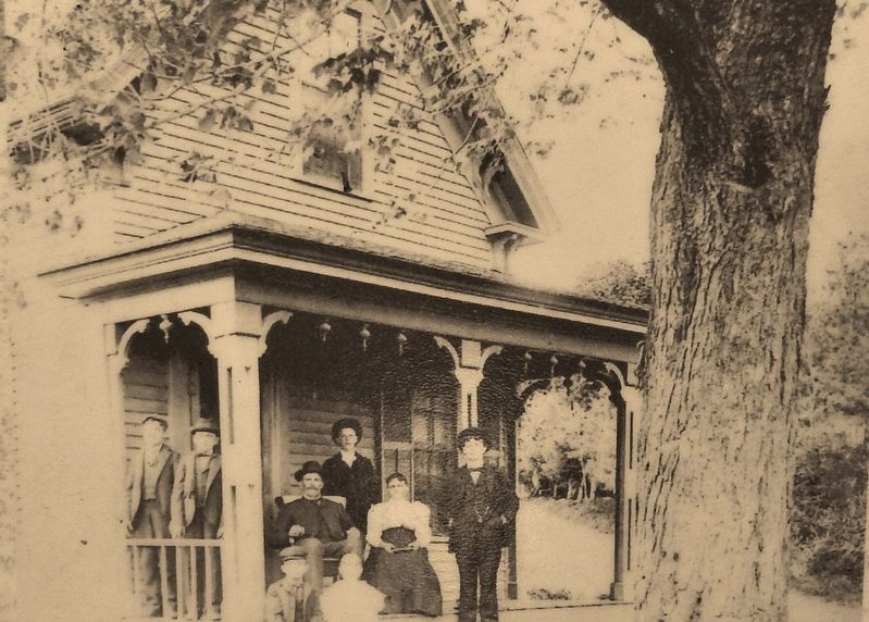
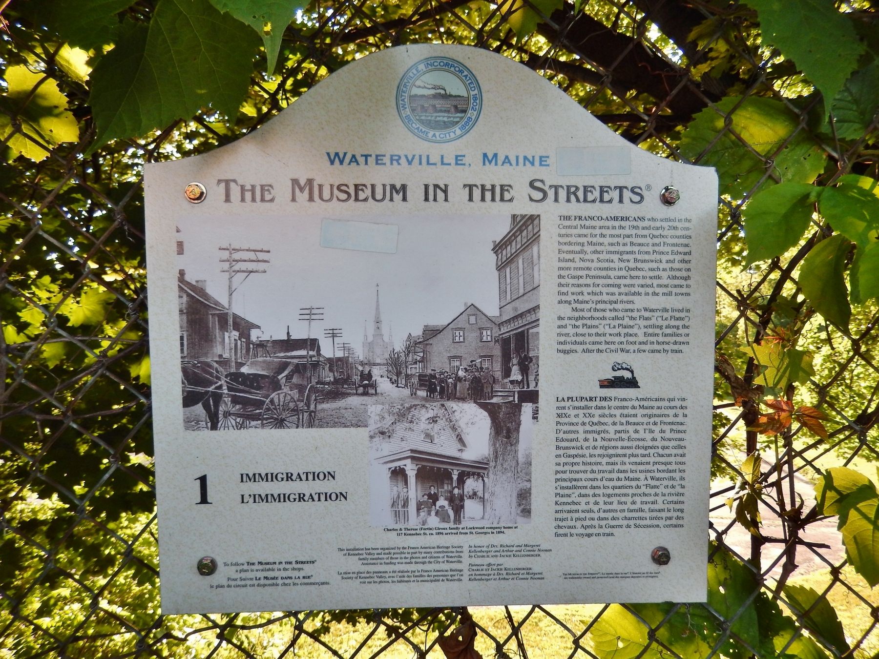
The Franco-Americans who settled in the Central Maine area in the 19th and early 20th centuries came for the most part from Quebec counties bordering Maine, such as Beauce and Frontenac. Eventually, other immigrants from Prince Edward Island, Nova Scotia, New Brunswick and other more remote counties in Quebec, such as those on the Gaspe Peninsula, came here to settle. Although their reasons for coming were varied, most came to find work which was available in the mill towns along Maine's principal rivers.
Most of those who came to Waterville lived in the neighborhoods called "the Flats" ("Le Elatte") and "the Plains" ("La Plaine”), settling along the river, close to their work place. Entire families or individuals came here on foot and in horse-drawn buggies. After the Civil War, a few came by train.
Erected by Franco American Heritage Society of Kennebec Valley, citizens of Waterville, and City of Waterville, Maine. (Marker Number 1.)
Topics. This historical marker is listed in these topic lists: Industry & Commerce • Notable Places • Settlements & Settlers.
Location. 44° 32.836′ N, 69° 37.788′ W. Marker is in Waterville, Maine, in Kennebec County . Marker is on Water Street south of Spring Street (Maine Route 137), on the right. Marker is a composite plaque, mounted directly on the fence, beside the sidewalk, overlooking the lower parking lot at this location. Touch for map. Marker is at or near this postal address: 11 Water Street, Waterville ME 04901, United States of America. Touch for directions.
Other nearby markers. At least 8 other markers are within 4 miles of this marker, measured as the crow flies. Lombard Log Hauler (approx. 0.2 miles away); Waterville Maine WWI Marker (approx. 0.3 miles away); The Two Cent Bridge (approx. 0.3 miles away); Waterville Maine Veteran's Park (approx. 0.3 miles away); Waterville Maine Civil War Memorial (approx. 0.3 miles away); Fort Halifax Park (approx. half a mile away); Fort Halifax (approx. 0.6 miles away); Heritage of the Kennebec River (approx. 3.2 miles away). Touch for a list and map of all markers in Waterville.
More about this marker. Marker may be difficult to see, particularly in the summer, due to extensive vine growth on the fence supporting the marker. Marker inscription is printed in both English and French.
Also see . . .
1. Events in Waterville History. Hometown USA entry:
in 1754, the first permanent white settlement of the area was established. It centered around General John Winslow’s Fort Halifax, where the Sebasticook joins the Kennebec below the Ticonic Falls. 11 families settled in the area, but as word spread that the area under the protection of the Fort was safe from attack, other settlers came. The wilderness was rugged and the winters long and cold, but the bounty and power of the rivers of the area proved to draw those of sturdy stock. (Submitted on April 11, 2018, by Cosmos Mariner of Cape Canaveral, Florida.)
2. History & Walking Tours. Waterville website entry (Submitted on March 26, 2024, by Larry Gertner of New York, New York.)
Credits. This page was last revised on March 26, 2024. It was originally submitted on April 11, 2018, by Cosmos Mariner of Cape Canaveral, Florida. This page has been viewed 204 times since then and 15 times this year. Photos: 1, 2, 3, 4. submitted on April 11, 2018, by Cosmos Mariner of Cape Canaveral, Florida. • Bill Pfingsten was the editor who published this page.


