West Point in White County, Arkansas — The American South (West South Central)
Naval Combat at West Point / Combat on the Little Red River
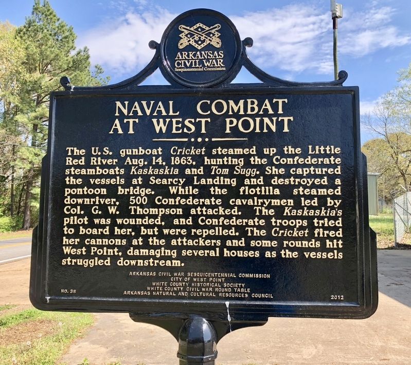
The U.S. gunboat Cricket steamed up the Little Red River Aug. 14, 1863, hunting the Confederate steamboats Kaskaskia and Tom Sugg. She captured the vessels at Searcy Landing and destroyed a pontoon bridge. While the flotilla steamed downriver, 500 Confederate cavalrymen led by Col. G.W. Thompson attacked. The Kaskaskia's pilot was wounded, and Confederate troops tried to board her, but were repelled. The Cricket fired her cannons at the attackers and some rounds hit West Point, damaging several houses as the vessels struggled downstream.
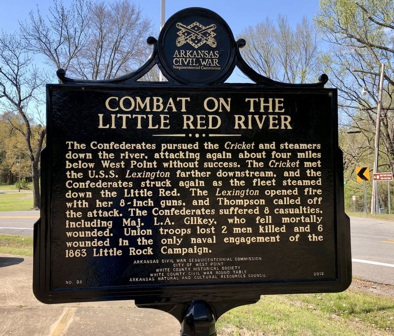
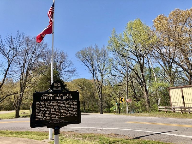
The Confederates pursued the Cricket and steamers down the river, attacking again about four miles below West Point without success. The Cricket met the U.S.S. Lexington farther downstream, and the Confederates struck again as the fleet steamed down the Little Red. The Lexington opened fire with her 8-inch guns, and Thompson called off the attack. The Confederates suffered 8 casualties, including Maj. L.A. Gilkey, who fell mortally wounded. Union troops lost 2 men killed and 6 wounded in the only naval engagement of the 1863 Little Rock Campaign.
Erected 2012 by Arkansas Civil War Sesquicentennial Commission, City of West Point, White County Historical Society, White County Civil War Round Table, Arkansas Natural and Cultural Resources Council. (Marker Number 38.)
Topics and series. This historical marker is listed in these topic lists: War, US Civil • Waterways & Vessels. In addition, it is included in the Arkansas Civil War Sesquicentennial Commission series list. A significant historical date for this entry is August 14, 1863.
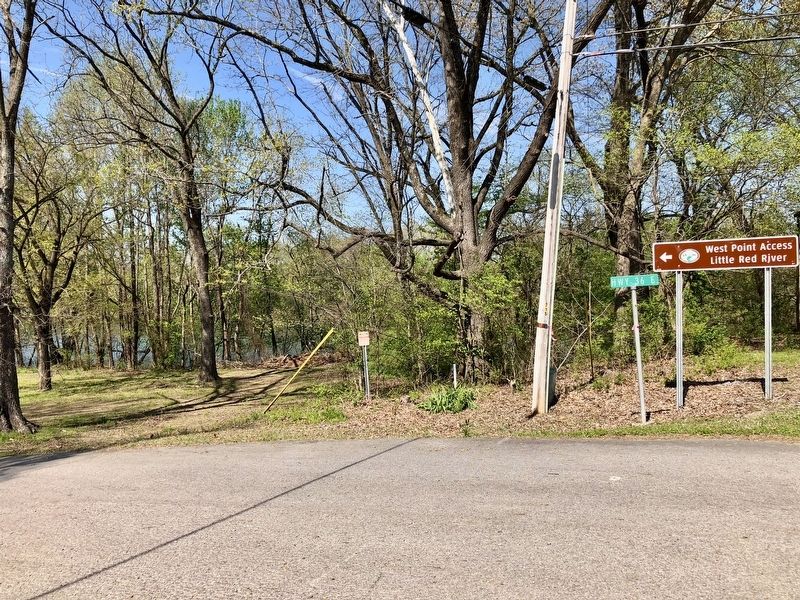
Location. 35° 12.458′ N, 91° 36.764′ W. Marker is in West Point, Arkansas, in White County. Marker is at the intersection of Arkansas Route 36 and Front Street, on the right when traveling south on State Route 36. Touch for map. Marker is in this post office area: West Point AR 72178, United States of America. Touch for directions.
Other nearby markers. At least 8 other markers are within 8 miles of this marker, measured as the crow flies. Action At Whitney's Lane (approx. 4.4 miles away); In Memory of the Defenders of the Union (approx. 5.1 miles away); Searcy Landing in the Civil War / Guerrilla War on the Little Red (approx. 6.1 miles away); Spanish Land Grant to John Fayac (approx. 6.6 miles away); Arkansas National Guard (approx. 6.8 miles away); Brig. Gen. Dandridge McRae (approx. 7.4 miles away); A Walk Through History (approx. 7˝ miles away); Benjamin Black House (approx. 7˝ miles away).
Credits. This page was last revised on April 14, 2018. It was originally submitted on April 14, 2018, by Mark Hilton of Montgomery, Alabama. This page has been viewed 368 times since then and 29 times this year. Photos: 1, 2, 3, 4, 5. submitted on April 14, 2018, by Mark Hilton of Montgomery, Alabama.


