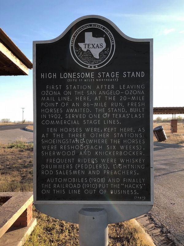
High Lonesome Stage Stand
(Site 11 Miles Northeast)
Ten horses were kept here, as at the three other stations: Shoeingstand (where the horses were reshod each six weeks), Sherwood, and Knickerbocker.
Frequent riders were whiskey drummers (peddlers), lightning rod salesmen and preachers.
Automobiles (1908) and finally the railroad (1910) put the "hacks" on this line out of business.
Erected 1969 by State Historical Survey Committee. (Marker Number 2476.)
Topics. This historical marker is listed in this topic list: Roads & Vehicles.
Location. 30° 50.105′ N, 101° 10.159′ W. Marker is near Ozona, Texas, in Crockett County. Marker is on State Highway 163 north of County Highway 109, on the left when traveling north. Marker is located in a Roadside Park on SH 163, about 9 miles north of Ozona. Touch for map. Marker is in this post office area: Ozona TX 76943, United States of America. Touch for directions.
Other nearby markers. At least 8 other markers are within 9 miles of this marker, measured as the crow flies. Ozona-Barnhart Trap Company (here, next to this marker); Ozona Junior High School (approx. 8.6 miles away); Ozona's Water System
Credits. This page was last revised on November 2, 2020. It was originally submitted on April 14, 2018, by Brian Anderson of Humble, Texas. This page has been viewed 203 times since then and 9 times this year. Photo 1. submitted on April 14, 2018, by Brian Anderson of Humble, Texas. • Andrew Ruppenstein was the editor who published this page.
