Franconia in Grafton County, New Hampshire — The American Northeast (New England)
Early Franconia
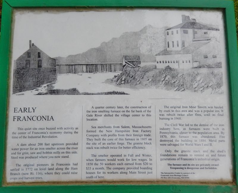
This quiet site once buzzed with activity as the center of Franconia's economy during the time of the Industrial Revolution.
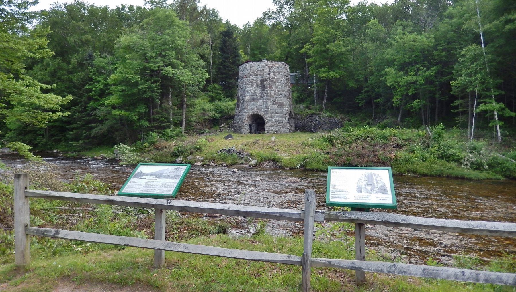
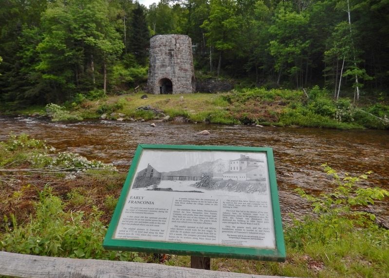
A dam about 200 feet upstream provided water power for an iron smelter across the river and for grist, saw and bobbin mills on this side. Steel was produced where you now stand.
The original pioneers in Franconia had settled in 1772 on level land along the Ham Branch (now Rt. 116), where they could raise crops and harvest trees.
A quarter century later, the construction of the iron smelting furnace on the far bank of the Gale River shifted the village center to this location.
Sea merchants from Salem, Massachusetts formed the New Hampshire Iron Factory Company with profits from their foreign trade. They built the core of this furnace in 1805 on the site of an earlier forge. The granite block stack was rebuilt twice for better efficiency.
The smelter operated in Fall and Winter, when farmers would work for low wages. In 1850 the 50 workers each earned from $20 to $33 a month. The company provided boarding houses for its workers along Main Street just south of here.
The original Iron Mine Tavern was hauled by oxen to this area and was a popular inn. It was rebuilt twice after fires, until its final burning in 1960.
The Civil War led to the demise of the iron industry here, as furnaces were built in Pennsylvania, closer to the population area. By 1870, this furnace was abandoned. Fire destroyed the building in 1884. Metal parts were salvaged for World Wars I and II.
Only the granite stack and the shed's foundations remain to remind us and future generations of Franconia's industrial origin.
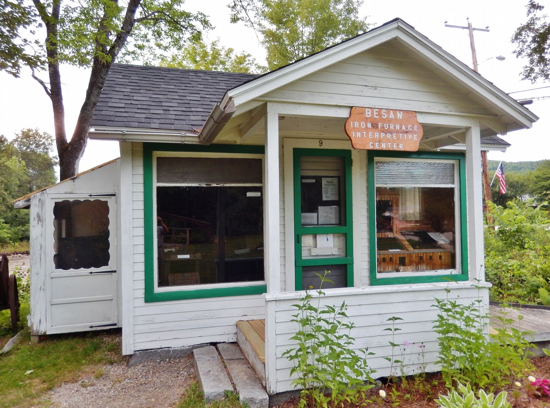
The interpretive Center is a project of the
Franconia Area Heritage Council
PO Box 169. Franconia, NH 03580
Erected by Iron Furnace Interpretive Center and Franconia Area Heritage Council.
Topics. This historical marker is listed in these topic lists: Industry & Commerce • Settlements & Settlers • War, US Civil • Waterways & Vessels.
Location. 44° 13.8′ N, 71° 45.287′ W. Marker is in Franconia, New Hampshire, in Grafton County. Marker is on Main Street (New Hampshire Route 116) 0.1 miles south of Sugar Hill Road (New Hampshire Route 117), on the left when traveling north. Marker is located in a small roadside park, on the west side of the highway, overlooking the Gale River. Touch for map. Marker is in this post office area: Franconia NH 03580, United States of America. Touch for directions.
Other nearby markers.
At least 8 other markers are within 5 miles of this marker, measured as the crow flies. Iron Furnace (here, next to this marker); 1889 Iron Bridge (a few steps from this marker); Stone Iron Furnace (within shouting distance of this marker); First Ski School in America (approx. ¾ mile away); Franconia College (approx. 1.9 miles away); Fanny’s Little Playhouse (approx. 3.6 miles away); Frances Glessner Lee (approx. 3.9 miles away); Willowdale Settlement (approx. 4.4 miles away). Touch for a list and map of all markers in Franconia.
Related markers. Click here for a list of markers that are related to this marker. Besaw Iron Furnace Interpretive Center
Also see . . . Franconia, New Hampshire. Wikipedia entry:
The town was first granted in 1764 by Colonial Governor Benning Wentworth as Franconia, a name widely applied to the region due to the terrain's resemblance to the Franconian Switzerland in the region of Franconia in Germany. The town sits on a rich iron deposit, and the region once produced pig iron and bar iron for farm tools and cast iron ware. (Submitted on April 15, 2018, by Cosmos Mariner of Cape Canaveral, Florida.)

Photographed By Cosmos Mariner, July 7, 2017
3. Early Franconia Marker
The Iron Works and The Mines in Franconia
White Mountain History website entry
Click for more information.
White Mountain History website entry
Click for more information.
Credits. This page was last revised on October 8, 2021. It was originally submitted on April 15, 2018, by Cosmos Mariner of Cape Canaveral, Florida. This page has been viewed 302 times since then and 46 times this year. Photos: 1, 2, 3, 4. submitted on April 15, 2018, by Cosmos Mariner of Cape Canaveral, Florida. • Bill Pfingsten was the editor who published this page.


