Waterbury in Naugatuck Valley Region, Connecticut — The American Northeast (New England)
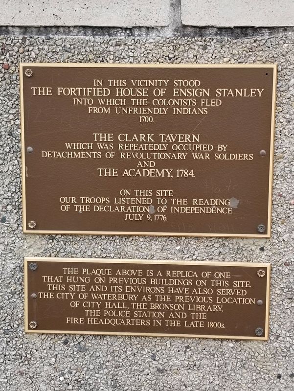
Fortified House lf Ensign Stanley
Photographed by Michael Herrick, April 12, 2018
1. Fortified House Of Ensign Stanley Markers
the fortified house of Ensign Stanley
into which the colonists fled
from unfriendly Indians
1700.
which was repeatedly occupied by
detachments of Revolutionary War soldiers
and
the Academy, 1784.
our troops listened to the reading
of the Declaration of Independence
July 9, 1776.
The plaque above is a replica of one that hung on previous buildings on this site. This site and its environs have also served the City of Waterbury as the previous location of City Hall, the Bronson Library, the police station and the fire headquarters in the late 1800s
Topics. This historical marker is listed in these topic lists: Colonial Era • Forts and Castles • War, US Revolutionary. A significant historical date for this entry is July 9, 1776.
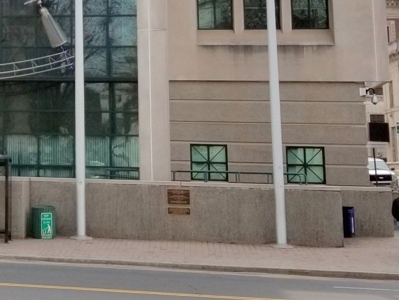
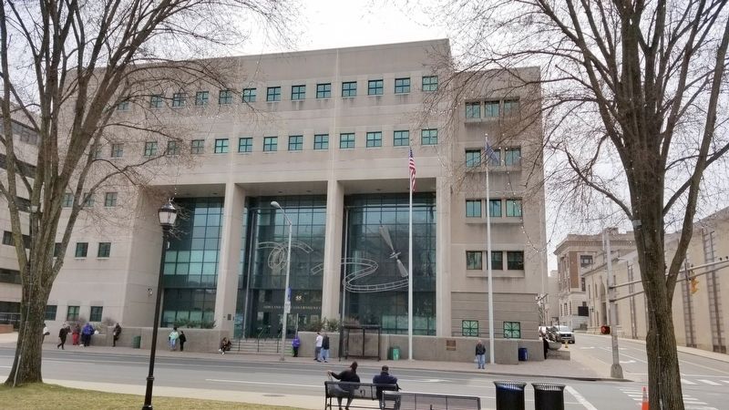
Location. 41° 33.365′ N, 73° 2.523′ W. Marker is in Waterbury in Naugatuck Valley Region, Connecticut. It is at the intersection of W. Main Street and Leavenworth Street, on the right when traveling east on W. Main Street. Located in front of the Rowland State Government Center. Touch for map. Marker is at or near this postal address:
this page online

Regionally, this marker is in the Connecticut River Valley, on the Connecticut Shoreline, and in Greater New Haven. It is also in the American Northeast and in New England. Globally, it is in North America, the Western Hemisphere, the Western World, and the Anglosphere. Historically, it finds itself in what was once New Haven County and also one of the original Thirteen Colonies.
Other nearby markers. At least 8 other markers are within walking distance of this marker: POW/MIA Soldiers from Waterbury (within shouting distance of this marker); Waterbury Veteran’s Monument (within shouting distance of this marker); UNICO National (about 300 feet away, measured in a direct line); John Fitzgerald Kennedy (about 300 feet away); Lt. (Rev) Thomas Michael Conway (about 300 feet away); Site of the First Congregational Church (about 400 feet away); Present Settlement of Waterbury (about 400 feet away); Washington – Rochambeau Revolutionary Route (about 400 feet away). Touch for a list and map of all markers in Waterbury.
Photographed by Michael Herrick, April 12, 2018
2. Fortified House Of Ensign Stanley Markers
Photographed by Michael Herrick, April 12, 2018
3. The Rowland State Government Center
Credits. This page was last revised on June 28, 2026. It was originally submitted on April 15, 2018, by Michael Herrick of Southbury, Connecticut. This page has been viewed 521 times since then and 26 times this year. Photos: 1, 2, 3. submitted on April 15, 2018, by Michael Herrick of Southbury, Connecticut.
