Erie in Erie County, Pennsylvania — The American Northeast (Mid-Atlantic)
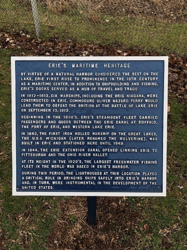
Erie's Maritime Heritage
In 1812-1813, six warships, including the Brig Niagara, were constructed in Erie. Commodore Oliver Hazard Perry would lead them to defeat the British at the Battle of Lake Erie on September 13, 1813.
Beginning in the 1830's, Erie's steamboat fleet carried passengers and goods between the Erie Canal at Buffalo, the Port of Erie, and Western Lake Erie.
In 1843, the first iron hulled warship on the Great Lakes, the U.S.S. Michigan (later renamed the Wolverine), was built in Erie and stationed here until 1949.
In 1844, the Erie Extension Canal opened linking Erie to Pittsburgh and the Ohio River Valley.
At its height in the 1920's, the largest freshwater fishing fleet in the world was based in Erie's harbor.
During this period, the lighthouses at this location played a critical role in bringing ships safely into Erie's harbor, and, in turn, were instrumental in the development of the United States.
Topics and series. This historical marker is listed in these topic lists: Industry & Commerce • War of 1812 • Waterways & Vessels. In addition, it is included in the Lighthouses series list. A significant historical date for this entry is September 13, 1813.
Location. 42° 8.645′ N, 80° 3.744′ W. Marker is in Erie, Pennsylvania, in Erie County. Marker can be reached from Lake Front Drive west of Lighthouse Street. Touch for map. Marker is in this post office area: Erie PA 16505, United States of America. Touch for directions.
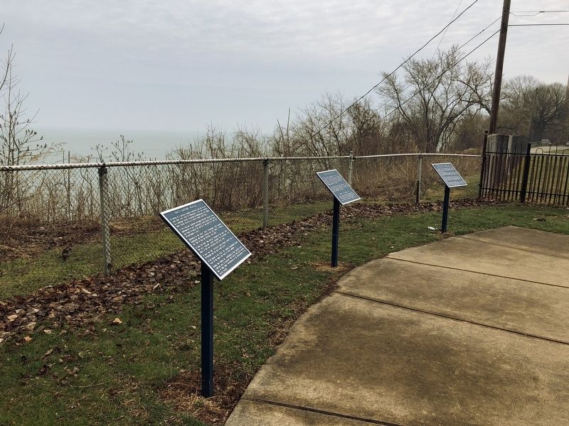
Other nearby markers. At least 8 other markers are within walking distance of this marker. Erie Land Lighthouse (here, next to this marker); The North Pier Head Light (here, next to this marker); The Native Legend of Presque Isle: "Sheltering Arm of the Great Spirit" (here, next to this marker); Erie Land Lighthouse Keepers (here, next to this marker); a different marker also named Erie Land Lighthouse (within shouting distance of this marker); Erie's Land Lighthouse (within shouting distance of this marker); James N. Thompson Land Lighthouse Park (within shouting distance of this marker); a different marker also named Erie Land Lighthouse (within shouting distance of this marker). Touch for a list and map of all markers in Erie.
Credits. This page was last revised on September 8, 2019. It was originally submitted on April 16, 2018, by Devry Becker Jones of Washington, District of Columbia. This page has been viewed 212 times since then and 12 times this year. Photos: 1, 2, 3. submitted on April 16, 2018, by Devry Becker Jones of Washington, District of Columbia. • Bill Pfingsten was the editor who published this page.


