Near Lonoke in Lonoke County, Arkansas — The American South (West South Central)
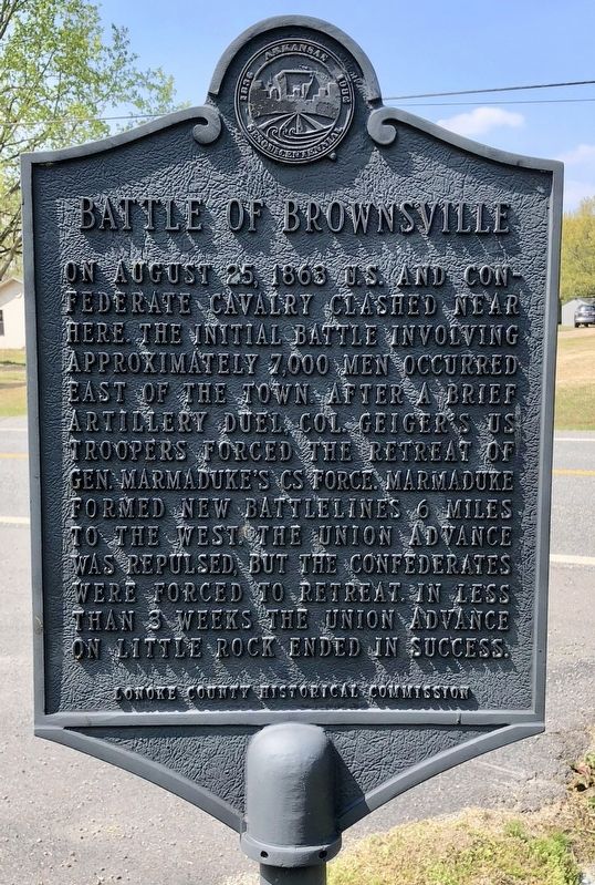
Battle of Brownsville
Erected by Lonoke County Historical Commission.
Topics. This historical marker is listed in this topic list: War, US Civil. A significant historical date for this entry is August 25, 1863.
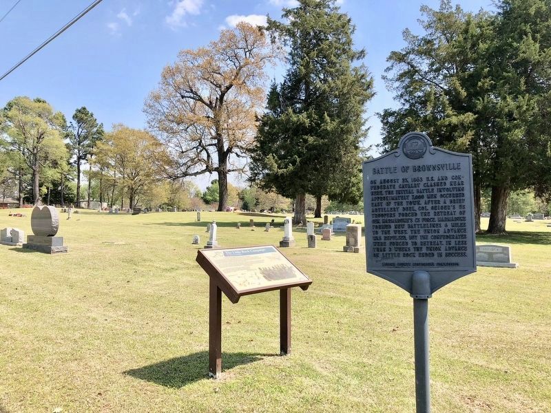
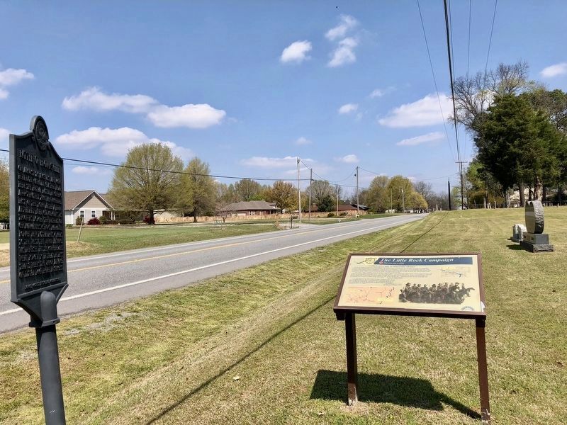
Location. 34° 48.919′ N, 91° 52.772′ W. Marker is near Lonoke, Arkansas, in Lonoke County. Marker is at the intersection of Arkansas Route 31 and Flynt Lane, on the right when traveling north on State Route 31. Located at Brownsville Cemetery. Touch for map. Marker is in this post office area: Lonoke AR 72086, United States of America. Touch for directions.
Other nearby markers. At least 8 other markers are within 3 miles of this marker, measured as the crow flies. The Little Rock Campaign - Brownsville (here, next to this marker); Hicks' Station in the Civil War (approx. 2.2 miles away); Lonoke County Honor Roll (approx. 2.3 miles away); Lonoke County Confederate Monument (approx. 2.4 miles away); Lonoke Landmarks (approx. 2.4 miles away); A Gun for All Reasons (approx. 2.4 miles away); Senator Joe T. Robinson (approx. 2.4 miles away); Eberts Air Field (approx. 2.4 miles away). Touch for a list and map of all markers in Lonoke.
Regarding Battle of Brownsville. During August, Confederate cavalry had repeatedly engaged the advance cavalry of Steele's army under Brig. Gen. John W. Davidson east of Little Rock, considerably delaying Union progress. In one six-day period Davidson only advanced eighteen miles in the face of the stubborn Rebel defenders. On August 25, 1863 on the prairie east of Brownsville Marmaduke's outnumbered Confederate troopers battled Davidson's cavalry Confederate forces fell back through Brownsville, then having a population of 2,500, to a position west of the town late in the day.
Credits. This page was last revised on April 16, 2018. It was originally submitted on April 16, 2018, by Mark Hilton of Montgomery, Alabama. This page has been viewed 741 times since then and 60 times this year. Photos: 1, 2, 3. submitted on April 16, 2018, by Mark Hilton of Montgomery, Alabama.


