Stony Point in Rockland County, New York — The American Northeast (Mid-Atlantic)
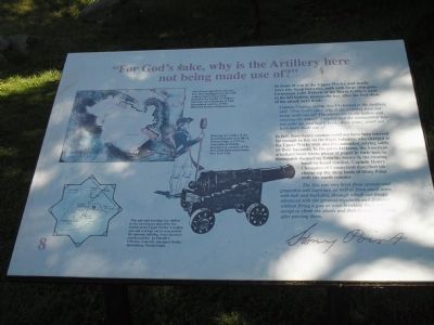
“For God’s sake, why is the Artillery here not being made use of?”
Inscription.
In front of you is the Upper Works, and inside were two flank batteries, each with large ship guns. Lieutenant John Roberts of the Royal Artillery went to the left battery, nearest the bay, after the first shots of the attack were fired:
Captain Clayton, seeing that I belonged to the Artillery said “For God’s sake, why is the Artillery here not being made use of? The enemy are in the hollow and crossing the water!” I replied that the ammunition was not come up, and had it been .. these guns .. could not have been made use of.
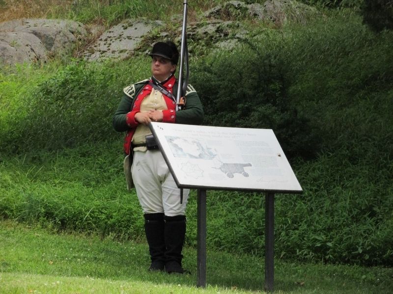
In fact, these heavy cannon could not have been lowered far enough to fire on the Light Infantry, who charged to the Upper Works with muskets unloaded, relying solely on their bayonets. In the pitch darkness, the American attackers wore white pieces of paper in their hats to distinguish themselves from the enemy in the ensuing hand-to-hand combat. Captain Henry Champion of Connecticut described his charge up the steep bank of Stony Point with the south column:
The fire was very brisk from cannon and grapeshot and lagrange, as well as from small arms with ball and buckshot, through which our troops advanced with the greatest regularity and firmness without firing a gun or once breaking their order, except to climb the abatis and then forming instantly after passing them.
Erected by Stony Point Battlefield State Historic Site.
Topics. This historical marker is listed in these topic lists: Notable Events • Notable Places • War, US Revolutionary.
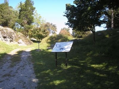
Location. 41° 14.461′ N, 73° 58.371′ W. Marker is in Stony Point, New York, in Rockland County. Marker is on Stony Point Park Road, on the left when traveling east. Marker is on the walking trail at the Stony Point Battlefield State Historic Site. Touch for map. Marker is in this post office area: Stony Point NY 10980, United States of America. Touch for directions.
Other nearby markers. At least 8 other markers are within walking distance of this marker. “… the enemy entered the upper work at the barrier at the same time I did.” (within shouting distance of this marker); “The fort and garrison, with Col. Johnson, are ours.” (within shouting distance of this marker); British Defenses: The Upper Works (within shouting distance of this marker); Opportunities Missed and Taken (within shouting distance of this marker); Stony Point Battlefield Today (about 300 feet away, measured in a direct line); “… with the greatest Intrepidity and coolness.” (about 300 feet away); The Lighthouse at Stony Point (about 300 feet away); The Battle’s Aftermath (about 300 feet away). Touch for a list and map of all markers in Stony Point.
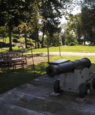
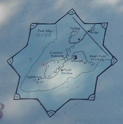
More about this marker. The upper left of the marker contains an 18-century map of Stony Point Battlefield by British Lt. William Marshall, 63rd Regiment of Foot highlighting the howitzer battery. The map is reproduced courtesy of the Historical Society of Pennsylvania. Below this is a “Drawing of a soldier of the Royal Regiment of Artillery, British Army, c. 1779, by Alexander R. Cattley. Reproduced courtesy of The New York Historical Society, New York City.” Under this is a picture of a cannon with the caption “This gun and carriage are similar to the naval guns placed by the British in the Upper Works. A replica gun and carriage can be seen outside the museum building. From Rammers and Roundshot by Harold L. Peterson. Courtesy Stackpole Books, Harrisburg, Pennsylvania.” There is also a map of the walking tour of the Stony Point Battlefield at the lower left of the marker.
Related markers. Click here for a list of markers that are related to this marker. This series of markers follow the walking tour of the Stony Point Battlefield.
Also see . . .
1. Stony Point Battlefield State Historic Site. New York State Parks, Recreation and Historic Preservation website entry (Submitted on September 21, 2008, by Bill Coughlin of Woodland Park, New Jersey.)
2. The Battle of Stoney (sic) Point. American Revolution War website entry (Submitted on September 21, 2008, by Bill Coughlin of Woodland Park, New Jersey.)
Credits. This page was last revised on August 24, 2021. It was originally submitted on September 21, 2008, by Bill Coughlin of Woodland Park, New Jersey. This page has been viewed 1,111 times since then and 20 times this year. Photos: 1, 2. submitted on September 21, 2008, by Bill Coughlin of Woodland Park, New Jersey. 3. submitted on July 19, 2019, by Bill Coughlin of Woodland Park, New Jersey. 4, 5, 6, 7. submitted on September 21, 2008, by Bill Coughlin of Woodland Park, New Jersey.
