East Roosevelt in Little Rock in Pulaski County, Arkansas — The American South (West South Central)
Battle of Little Rock
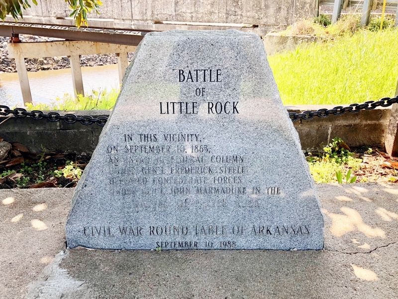
Photographed by Mark Hilton, April 10, 2018
1. Battle of Little Rock Marker
Erected 1988 by Civil War Roundtable of Arkansas.
Topics. This historical marker is listed in this topic list: War, US Civil. A significant historical date for this entry is September 10, 1863.
Location. 34° 43.314′ N, 92° 12.086′ W. Marker is in Little Rock, Arkansas, in Pulaski County. It is in East Roosevelt. It is at the intersection of Fourche Dam Pike and East Roosevelt Road, on the left when traveling south on Fourche Dam Pike. Touch for map. Marker is at or near this postal address: 6364 Fourche Dam Pike, Little Rock AR 72206, United States of America. Touch for directions.

Regionally, this marker is in the Quapaw Homeland. It is also in the American South and specifically in the Upper South. Globally, it is in North America, the Western Hemisphere, the Western World, and the Anglosphere. Historically, it finds itself in what was once the territory of the Mississippian Culture, the Louisiana Purchase, one of the Confederate States
this page online
Other nearby markers. At least 8 other markers are within 4 miles of this marker, measured as the crow flies: Engagement at Bayou Fourche (a few steps from this marker); Harris House (approx. 0.2 miles away); The Little Rock Campaign - Bayou Fourche (approx. half a mile away); Marmaduke-Walker Duel (approx. 2.4 miles away); State of Minnesota (approx. 3.1 miles away); In Memory of all who served on the Island of Oahu (approx. 3.2 miles away); Confederate Burial in the National Cemetery (approx. 3.3 miles away); Little Rock National Cemetery (approx. 3.3 miles away). Touch for a list and map of all markers in Little Rock.
Also see . . .
1. Wikipedia article on the Battle of Bayou Fourche. (Submitted on April 16, 2018, by Mark Hilton of Montgomery, Alabama.)
2. Encyclopedia of Arkansas History & Culture - Engagement at Bayou Fourche aka: Battle of Little Rock. (Submitted on April 16, 2018, by Mark Hilton of Montgomery, Alabama.)
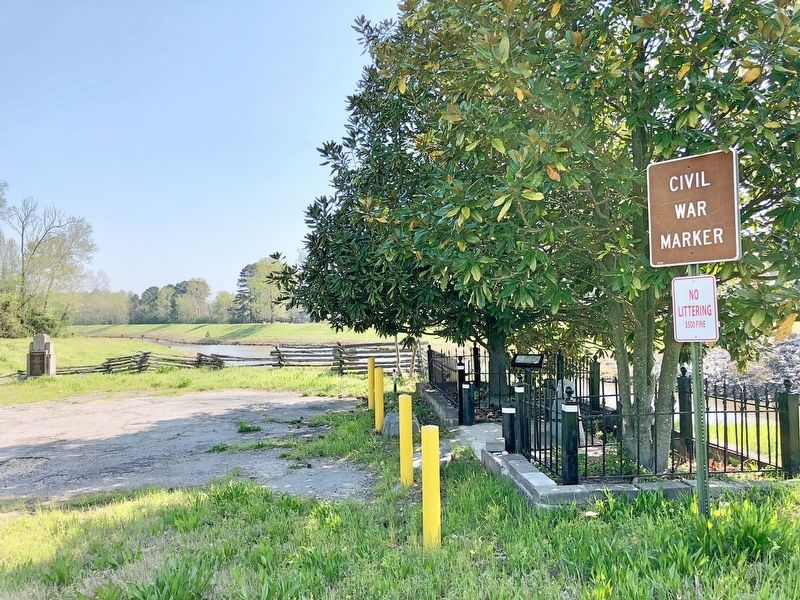
Photographed by Mark Hilton, April 10, 2018
2. Battle of Little Rock Marker on right under trees.
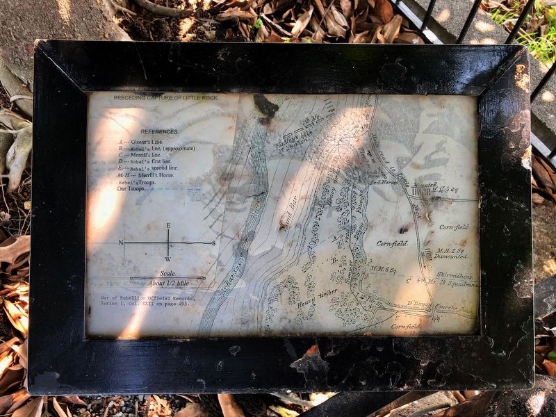
Photographed by Mark Hilton, April 10, 2018
3. Area map showing positions prior to Battle of Little Rock.
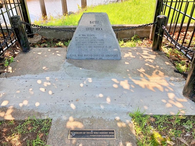
Photographed by Mark Hilton, April 10, 2018
4. Battle of Little Rock Marker
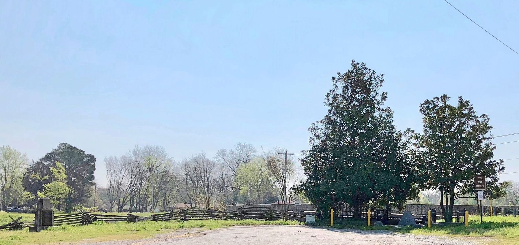
Photographed by Mark Hilton, April 10, 2018
5. Area view of Battle of Little Rock Marker and other markers.
Credits. This page was last revised on February 10, 2023. It was originally submitted on April 16, 2018, by Mark Hilton of Montgomery, Alabama. This page has been viewed 1,108 times since then and 68 times this year. Photos: 1, 2, 3, 4, 5. submitted on April 16, 2018, by Mark Hilton of Montgomery, Alabama.
