Bedford Township in Bedford County, Pennsylvania — The American Northeast (Mid-Atlantic)
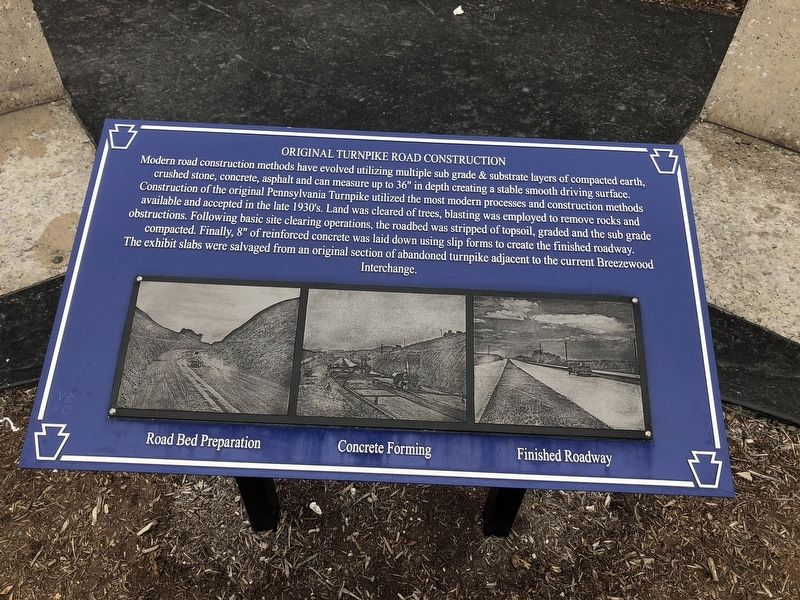
Original Turnpike Road Construction
Photographed by Devry Becker Jones (CC0), April 15, 2018
1. Original Turnpike Road Construction Marker
Topics. This historical marker is listed in this topic list: Roads & Vehicles.
Location. 40° 1.803′ N, 78° 29.607′ W. Marker is near Bedford, Pennsylvania, in Bedford County. It is in Bedford Township. It is on Pennsylvania Turnpike (at milepost 146) south of Pennsylvania Highway 220.
this page online

Regionally, this marker is in South-Central Pennsylvania and in the Laurel Highlands. It is also in the American Northeast, in the Mid-Atlantic, in Appalachia, and specifically in Northern Appalachia. Globally, it is in North America, the Western Hemisphere, the Western World, and the Anglosphere. Historically, it finds itself in what was once the Haudenosaunee (Iroquois) Confederacy and also one of the original Thirteen Colonies.
Other nearby markers. At least 8 other markers are within walking distance of this marker: Pennsylvania Turnpike (within shouting distance of this marker); a different marker also named Pennsylvania Turnpike (about 400 feet away, measured in a direct line); Bedford County Veterans Memorial (approx. 0.6 miles away); Bedford Village (approx. 0.6 miles away); Veterans Memorial (approx. ¾ mile away); 76th Station Hospital - 50th Reunion (approx. ¾ mile away); NE Boundary Original Survey of Bedford (approx. 0.8 miles away); a different
Photographed by Devry Becker Jones (CC0), April 15, 2018
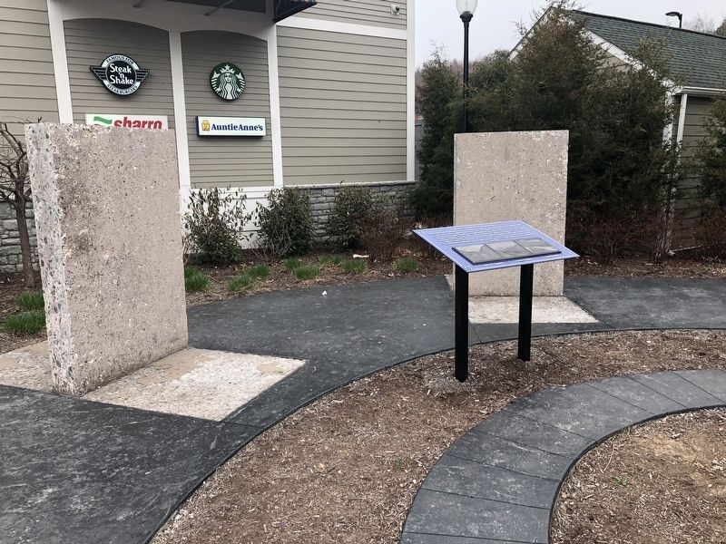
2. Original Turnpike Road Construction Marker
Another marker is no longer nearby. The Lincoln Highway Meets the Superhighway (was within shouting distance of this marker but has been permanently removed).
Photographed by William Fischer, Jr., March 12, 2021
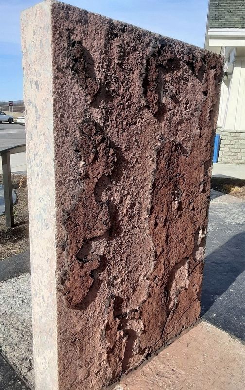
3. Original Turnpike Road Construction Material
Photographed by William Fischer, Jr., March 12, 2021
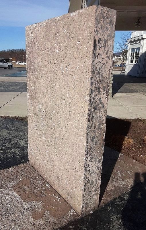
4. Original Turnpike Road Construction Material

Credits. This page was last revised on February 7, 2023. It was originally submitted on April 16, 2018, by Devry Becker Jones of Washington, District of Columbia. This page has been viewed 729 times since then and 44 times this year. Photos: 1, 2. submitted on April 16, 2018, by Devry Becker Jones of Washington, District of Columbia. 3, 4. submitted on March 22, 2021, by William Fischer, Jr. of Reynoldsburg, Ohio. 5. submitted on April 16, 2018, by Devry Becker Jones of Washington, District of Columbia. • Andrew Ruppenstein was the editor who published this page.
