Shickshinny
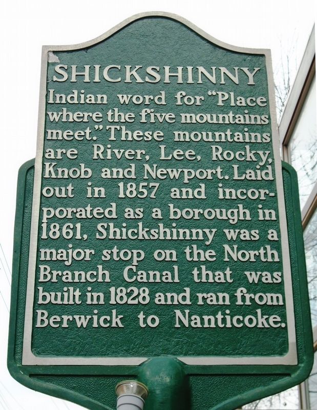
Indian word for "Place where five mountains meet." These mountains are River, Lee, Rocky, Knob and Newport. Laid out in 1857 and incorporated as a borough in 1861, Shickshinny was a major stop on the North Branch Canal that was built in 1828 and ran from Berwick to Nanticoke.
Topics. This historical marker is listed in these topic lists: Native Americans • Settlements & Settlers. A significant historical year for this entry is 1857.
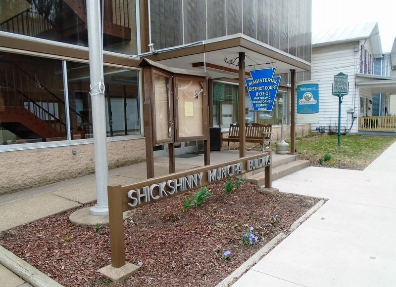
Location. 41° 9.21′ N, 76° 9.098′ W. Marker is in Shickshinny, Pennsylvania, in Luzerne County. Marker is on Union Street (Pennsylvania Route 239) west of Main Street (U.S. 11), on the left when traveling west. Marker is on the Shickshinny Municipal Building grounds. Touch for map. Marker is at or near this postal address: 35 West Union Street, Shickshinny PA 18655, United States of America. Touch for directions.
Other nearby markers. At least 8 other markers are within 8 miles of this marker, measured as the crow flies. World Wars Memorial (within shouting distance of this marker); War Memorial (approx. 1.1 miles away); Mocanaqua (approx. 1.1 miles away); Warriors Path (approx. 1.3 miles away); Union Access (approx. 3.1 miles away); Wapwallopen (approx. 5.8 miles away); a different marker also named War Memorial (approx. 6.4 miles away); Veterans Memorial (approx. 7.3 miles away). Touch for a list and map of all markers in Shickshinny.
Also see . . .
Credits. This page was last revised on April 17, 2018. It was originally submitted on April 17, 2018, by William Fischer, Jr. of Scranton, Pennsylvania. This page has been viewed 325 times since then and 37 times this year. Photos: 1, 2. submitted on April 17, 2018, by William Fischer, Jr. of Scranton, Pennsylvania.

