Locust Grove in Orange County, Virginia — The American South (Mid-Atlantic)
Germanna Ford
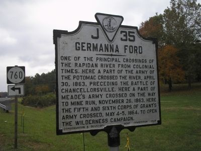
Photographed by Bill Coughlin, November 10, 2007
1. Germanna Ford
Erected 1929 by Conservation & Development Commission. (Marker Number J–35.)
Topics and series. This historical marker is listed in this topic list: War, US Civil. In addition, it is included in the Virginia Department of Historic Resources (DHR) series list. A significant historical date for this entry is April 30, 1844.
Location. This marker has been replaced by another marker nearby. It was located near 38° 22.61′ N, 77° 46.802′ W. Marker was in Locust Grove, Virginia, in Orange County. It was on Germanna Highway (Virginia Route 3) north of Spotswood Drive (County Route 760), on the right when traveling south. Touch for map. Marker was in this post office area: Locust Grove VA 22508, United States of America. Touch for directions.

Regionally, this marker
this page online
Other nearby markers. At least 8 other markers are within walking distance of this location: Germanna (about 600 feet away); a different marker also named Germanna Ford (about 600 feet away); a different marker also named Germanna Ford (approx. 0.2 miles away); Grant Takes Command (approx. 0.2 miles away); Fort Germanna (approx. 0.2 miles away); Alexander Spotswood's Enchanted Castle (approx. 0.2 miles away); Fort Germanna Visitor Center (approx. 0.2 miles away); Hans Conrad Amberger (approx. 0.2 miles away). Touch for a list and map of all markers in Locust Grove.
Other markers no longer nearby. Germanna Ford (was about 500 feet away, measured in a direct line but has been replaced with another marker now
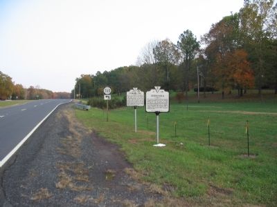
Photographed by Craig Swain, November 10, 2007
2. Two Markers at Germanna Ford
Related marker. Click here for another marker that is related to this marker. This marker has been replaced with the linked marker.
Additional commentary.
1.
In May 2016, this marker was destroyed in car accident, not yet replaced as of April 2017.
— Submitted April 19, 2017, by Pete Payette of Orange, Virginia.
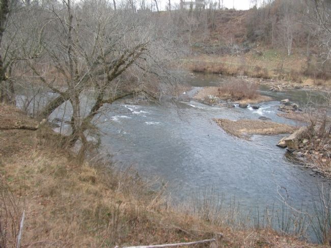
Photographed by Craig Swain, January 5, 2008
3. Germanna Ford Crossing Site Today
The site can be reached by a short access road from the Germanna Foundation Visitors Center.
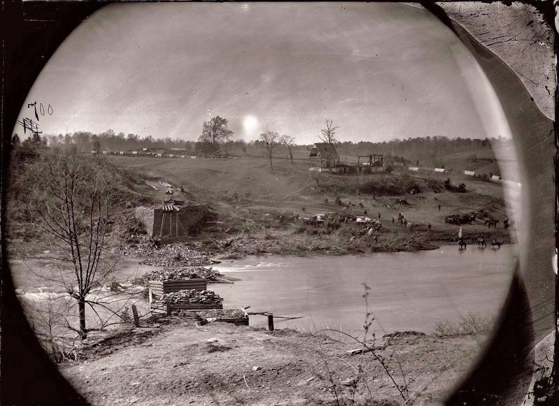
Photographed by Unknown
4. Old Germanna Bridge stone abutments and piers.
Taken a day or two after the main body of Federal forces crossed during the Battle of the Wilderness campaign. View is from the Orange County side of the river, from about where the modern-day Germanna Foundation Visitor Center is now located. The stone abutment on the Orange County side still exists.
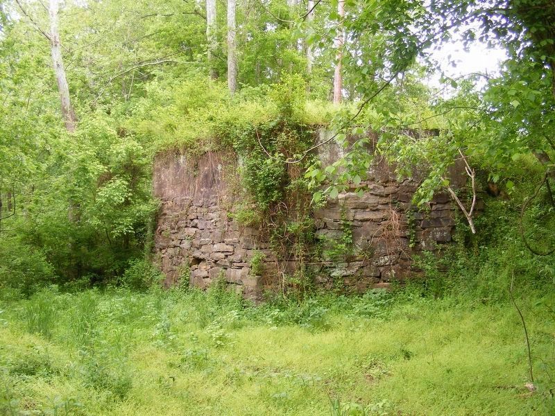
Photographed by Pete Payette, May 1, 2017
5. Old Germanna Bridge stone abutment on the Orange County side of the river.
Credits. This page was last revised on April 19, 2021. It was originally submitted on November 16, 2007, by Bill Coughlin of Woodland Park, New Jersey. This page has been viewed 2,210 times since then and 39 times this year. Last updated on April 17, 2018, by Bradley Owen of Morgantown, West Virginia. Photos: 1. submitted on November 16, 2007, by Bill Coughlin of Woodland Park, New Jersey. 2. submitted on November 17, 2007, by Craig Swain of Leesburg, Virginia. 3. submitted on January 13, 2008, by Craig Swain of Leesburg, Virginia. 4. submitted on May 8, 2017, by Pete Payette of Orange, Virginia. 5. submitted on May 2, 2017, by Pete Payette of Orange, Virginia. • Bill Pfingsten was the editor who published this page.
