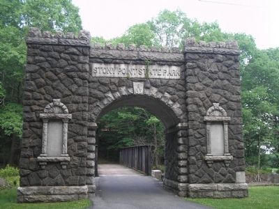
Stony Point in Rockland County, New York — The American Northeast (Mid-Atlantic)
The Battle’s Aftermath
Although Stony Point and Verplanck’s Point became a focus of British strategy in 1779, they had shown interest in the Hudson Highlands before. On October 6, 1777, the British had landed here and attacked Forts Clinton and Montgomery, seven miles to the north, withdrawing two weeks later, after sailing up the Hudson River and burning the city of Kingston.
On May 30, 1779, the British returned. Six thousand troops left New York City, by land and water, and moved toward Stony Point. The next day, while 40 American soldiers were finishing a blockhouse near where you are standing, the first British ships appeared in Haverstraw Bay. The soldiers burned the blockhouse and fled.
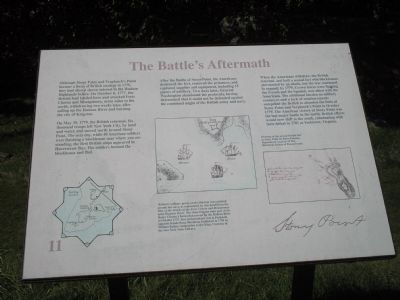
After the Battle of Stony Point, the Americans destroyed the fort, removed the prisoners, and captured supplies and equipment, including 15 pieces of artillery. Two days later, General Washington abandoned the peninsula, having determined that it could not be defended against the combined might of the British army and navy.
When the Americans withdrew, the British returned, and built a second fort with blockhouses surrounded by an abatis, but the war continued to expand; by 1779, Crown forces were fighting the French and the Spanish, now allied with the Americans. The additional burden on military resources and a lack of reinforcements compelled the British to abandon the forts at Stony Point and Verplanck’s Point in October 1779. The American victory at Stony Point was the last major battle in the north. British efforts would now shift to the south, culminating with their defeat in 1781 at Yorktown, Virginia.
Erected by Stony Point Battlefield State Historic Site.
Topics and series. This historical marker is listed in these topic lists: Notable Events • Notable Places • War, US Revolutionary. In addition, it is included in the Former U.S. Presidents: #01 George Washington series list. A significant historical month for this entry is May 2000.
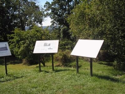
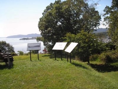
Location. 41° 14.476′ N, 73° 58.31′ W. Marker is in Stony Point, New York, in Rockland County. Marker can be reached from Stony Point Park Road, on the right when traveling east. Marker is on the walking trail at the Stony Point Battlefield State Historic Site. Touch for map. Marker is in this post office area: Stony Point NY 10980, United States of America. Touch for directions.
Other nearby markers. At least 8 other markers are within walking distance of this marker. The Lighthouse at Stony Point (here, next to this marker); Commerce and the Hudson River (here, next to this marker); Opportunities Missed and Taken (within shouting distance of this marker); “The fort and garrison, with Col. Johnson, are ours.” (within shouting distance of this marker);
“For God’s sake, why is the Artillery here not being made use of?” (about 300 feet away, measured in a direct line); “… with the greatest Intrepidity and coolness.” (about 400 feet away); “… the enemy entered the upper work at the barrier at the same time I did.” (about 400 feet away); Stony Point Battlefield Today (about 400 feet away). Touch for a list and map of all markers in Stony Point.
More about this marker. The bottom right of the marker features a “Drawing of the second British fort at Stony Point by Rufus Putnam. Reproduced courtesy of The Historical Society of Pennsylvania.” Next to this is a picture of three British ships off of Fort Independence. It has a caption of “Britain’s military power on the Hudson was centered around her navy, as represented by this detail from the Plan of the Attacks of the Forts Clinton and Montgomery upon the Hudson River. The three frigates were part of Sir Henry Clinton’s forces that moved up the Hudson River in October 1777. Fort Independence was at Peekskill, opposite Dunderberg Mountain. Published in 1784 by William Faden, Geographer to the King. Courtesy of the New York State Library.”
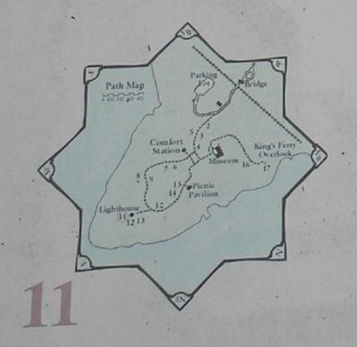
There is also a map of the walking tour of the Stony Point Battlefield at the lower left of the marker.
Related markers. Click here for a list of markers that are related to this marker. This series of markers follow the walking tour of the Stony Point Battlefield.
Also see . . .
1. Stony Point Battlefield State Historic Site. New York State Parks, Recreation and Historic Preservation website entry (Submitted on September 21, 2008, by Bill Coughlin of Woodland Park, New Jersey.)
2. The Battle of Stoney (sic) Point. American Revolution War website entry (Submitted on September 21, 2008, by Bill Coughlin of Woodland Park, New Jersey.)
Credits. This page was last revised on November 29, 2021. It was originally submitted on September 21, 2008, by Bill Coughlin of Woodland Park, New Jersey. This page has been viewed 1,085 times since then and 26 times this year. Last updated on November 26, 2021, by Carl Gordon Moore Jr. of North East, Maryland. Photos: 1, 2, 3, 4, 5. submitted on September 21, 2008, by Bill Coughlin of Woodland Park, New Jersey. • Bill Pfingsten was the editor who published this page.
