Gros Islet, Saint Lucia — Caribbean Region (Lesser Antilles)
The Bells of Gros Islet
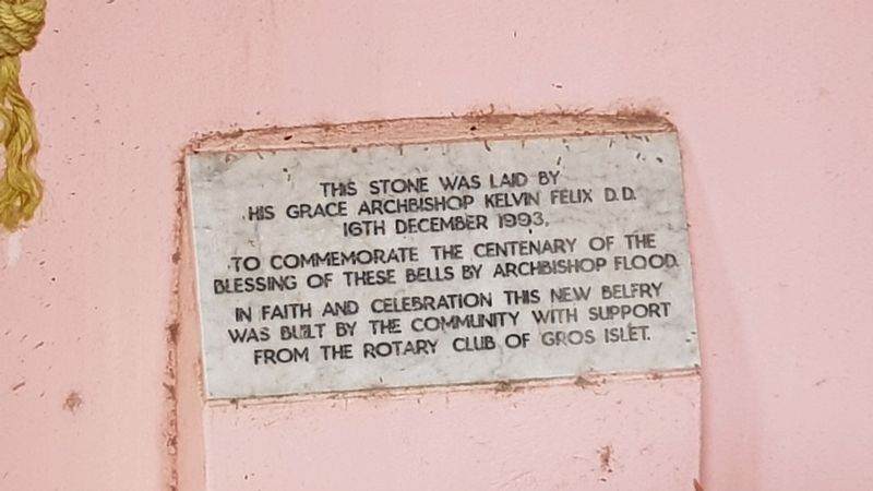
Photographed by J. Makali Bruton, April 22, 2018
1. The Bells of Gros Islet Marker
16th December 1993,
to commemorate the centenary of the
blessing of these bells by Archbishop Flood.
In faith and celebration this new belfry
was built by the community with support
from the Rotary Club of Gros Islet.
Erected by Saint Lucia National Trust.
Topics and series. This historical marker is listed in these topic lists: Colonial Era • Man-Made Features • Religion & Religious Structures. In addition, it is included in the Historic Bells, and the Rotary International series lists. A significant historical date for this entry is December 16, 1993.
Location. 14° 4.902′ N, 60° 57.142′ W. Marker is in Gros Islet. It is on Saint John Street just east of Marina Street, on the left when traveling east. Touch for map. Marker is in this post office area: Gros Islet LC01 101, Saint Lucia. Touch for directions.

Regionally, it is one of the Lesser Antilles on the Caribbean Sea, on in the Atlantic Ocean, in North America, in the Western Hemisphere, and in the Anglosphere. Historically, it finds itself in what was once a British colony.
Other nearby markers. At
this page online
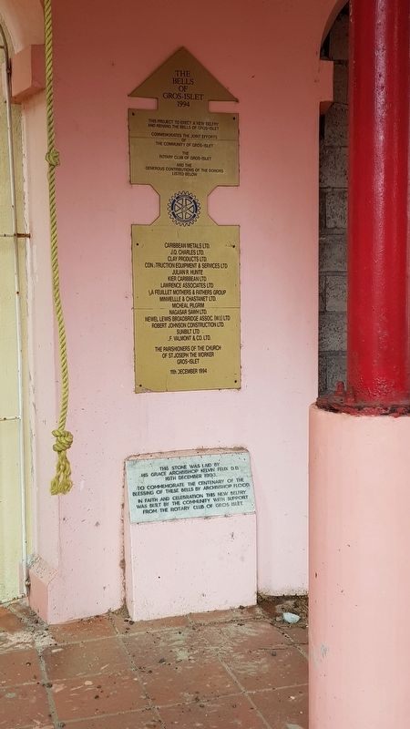
Photographed by J. Makali Bruton, April 22, 2018
2. The Bells of Gros Islet Marker
Above the featured marker is a larger marker describing the many donors to the belfry project.
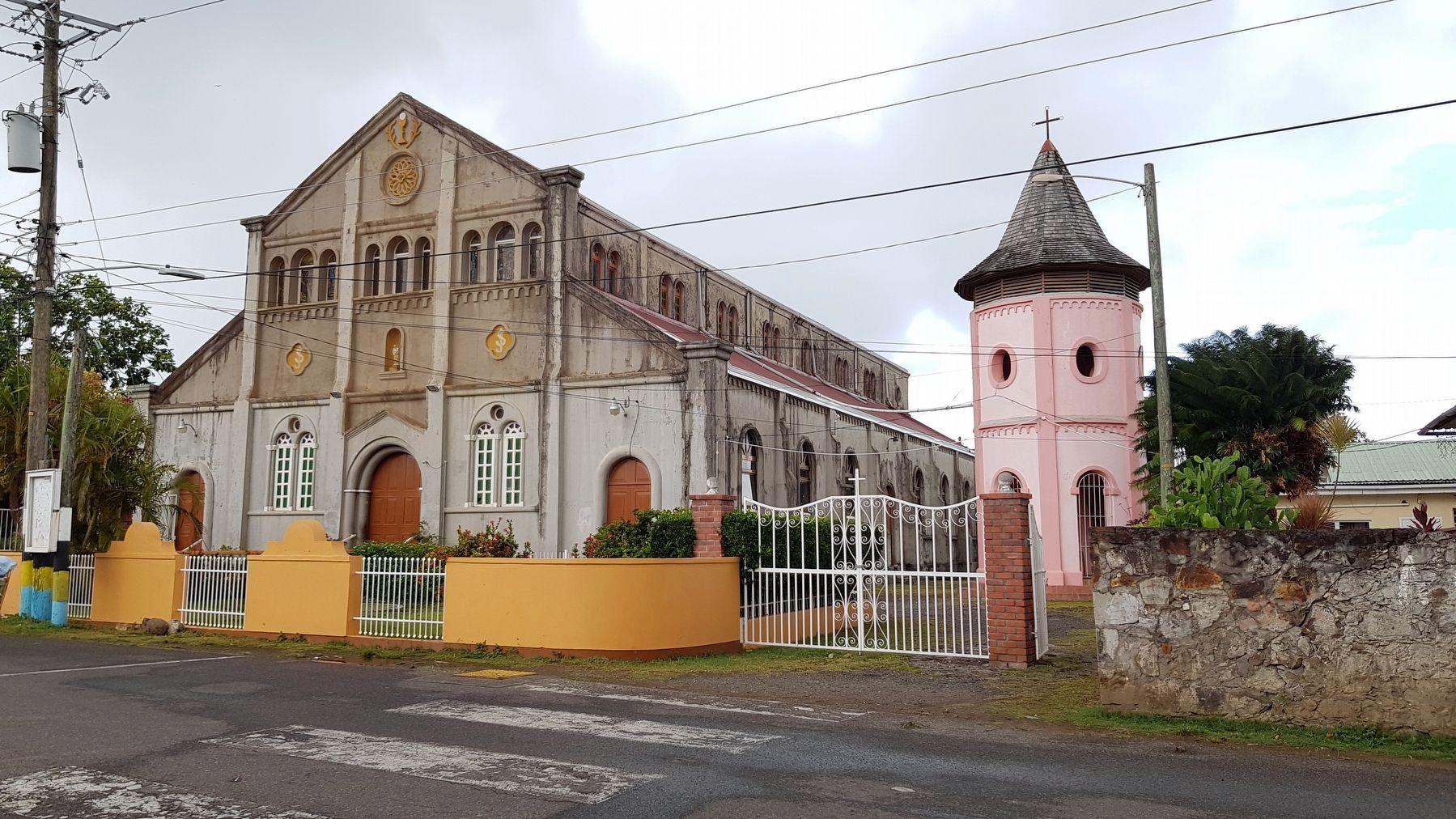
Photographed by J. Makali Bruton, April 22, 2018
3. The Bells of Gros Islet Marker
The marker is in the open-air belfry to the right of the Saint Joseph the Worker Catholic Church.
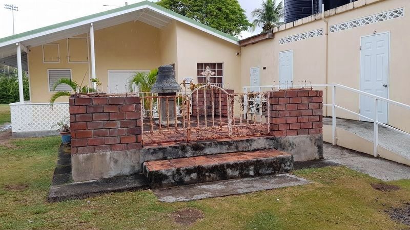
Photographed by J. Makali Bruton, April 22, 2018
4. A Bell of Gros Islet
This damaged bell is behind the belfry. The bell is inscribed "Joseph Chassang, 1889, Burdin Aine Fondeur a Lyon France".
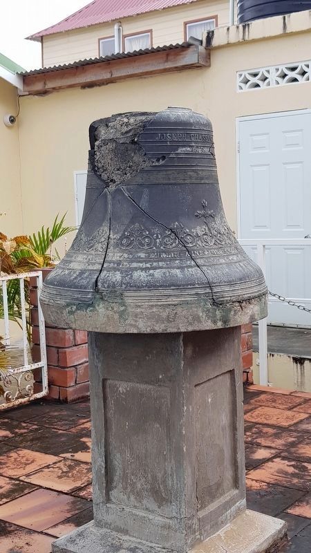
Photographed by J. Makali Bruton, April 22, 2018
5. A Bell of Gros Islet
Credits. This page was last revised on September 2, 2018. It was originally submitted on April 22, 2018, by J. Makali Bruton of Washington, District of Columbia. This page has been viewed 235 times since then and 9 times this year. Photos: 1, 2, 3, 4, 5. submitted on April 22, 2018, by J. Makali Bruton of Washington, District of Columbia.
