Marion in Crittenden County, Arkansas — The American South (West South Central)
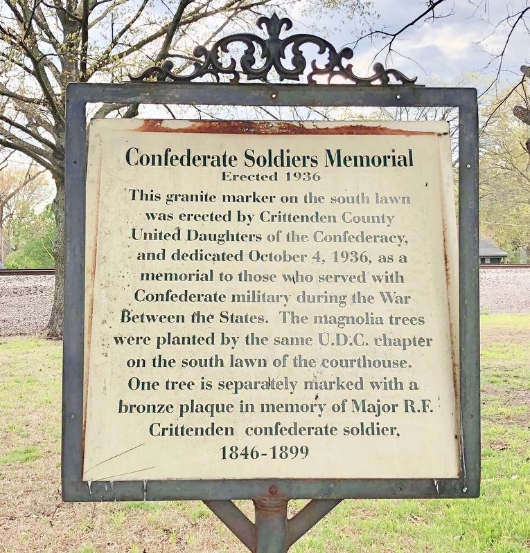
Confederate Soldier's Memorial
Erected 1936
| — | Courthouse Square Walking Trail | — |
Photographed by Mark Hilton, April 8, 2018
1. Confederate Soldier's Memorial Marker
Erected by the City of Marion.
Topics. This historical marker and memorial is listed in this topic list: War, US Civil. A significant historical date for this entry is October 4, 1936.
Location. 35° 12.912′ N, 90° 11.819′ W. Marker is in Marion, Arkansas, in Crittenden County. It is on Court Street north of East Military Road, on the right when traveling south. Touch for map. Marker is at or near this postal address: 89 Court Street, Marion AR 72364, United States of America. Touch for directions.

Regionally, this marker and memorial is in the Arkansas Delta and in the Mississippi Alluvial Plain. It is also in the American South, specifically in the Upper South, in the Mississippi
this page online
Other nearby markers. At least 8 other markers are within walking distance of this marker: Crittenden County Veterans Memorial (within shouting distance of this marker); a different marker also named Confederate Soldier's Memorial (within shouting distance of this marker); Rhodes Storefronts (within shouting distance of this marker); Crittenden County Health Department (within shouting distance of this marker); Military Road (about 400 feet away, measured in a direct line); The Sultana Tragedy (about 400 feet away); The Loss of the Sultana (about 400 feet away); Crittenden Bank & Trust Company (about 500 feet away). Touch for a list and map of all markers in Marion.
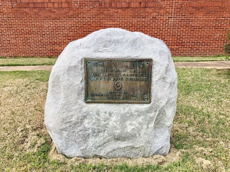
Photographed by Mark Hilton, April 8, 2018
2. The nearby Confederate Soldier's Memorial
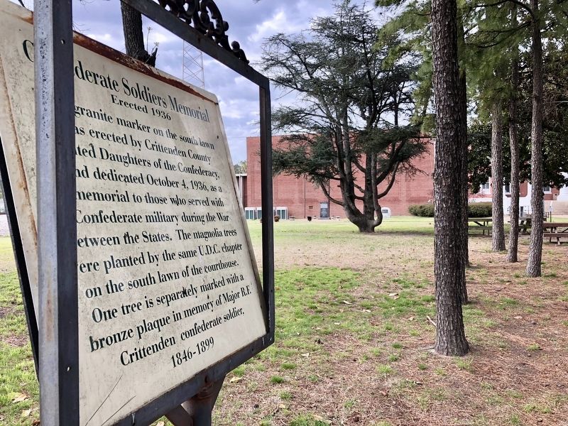
Photographed by Mark Hilton, April 8, 2018
3. View from marker towards Courthouse with the monument in far middle background.
Credits. This page was last revised on April 24, 2018. It was originally submitted on April 24, 2018, by Mark Hilton of Montgomery, Alabama. This page has been viewed 630 times since then and 56 times this year. Photos: 1, 2, 3. submitted on April 24, 2018, by Mark Hilton of Montgomery, Alabama.
