Indian Springs in Columbus in Franklin County, Ohio — The American Midwest (Great Lakes)
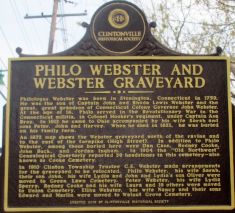
Philo Webster and Webster Graveyard
Photographed by Rev. Ronald Irick, April 26, 2018
1. Philo Webster Marker
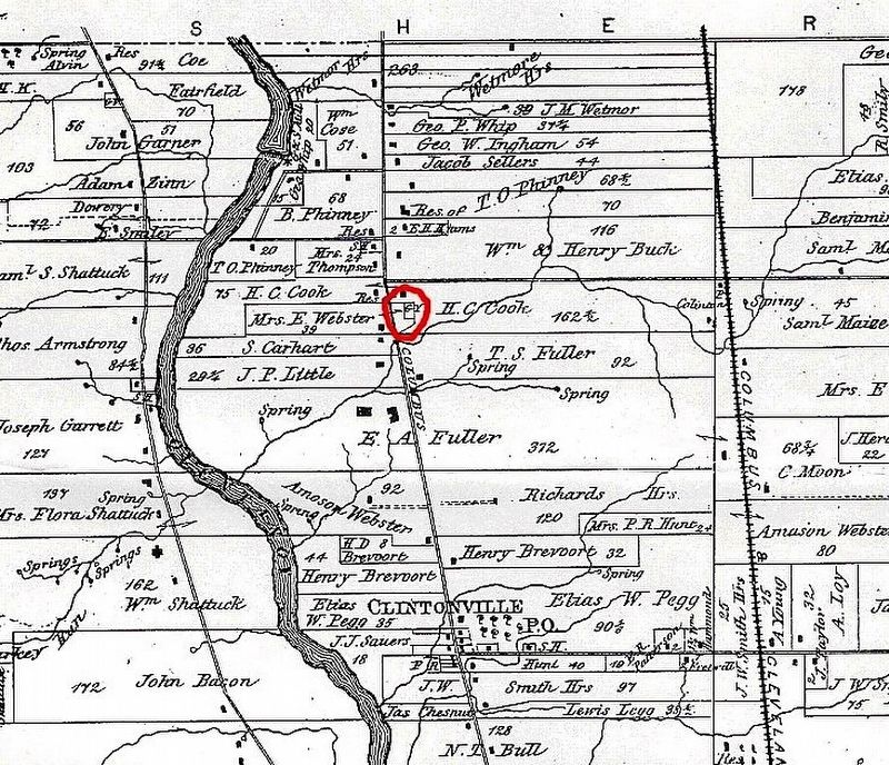
An 1872 map shows the Webster graveyard north of the ravine and to the east of the turnpike (High Street). In addition to Philo Webster, among those buried here were Dan Case, Rodney Cooke, John Buck, and Jordan Ingram. In 1904 the “Old Northwest” Genealogical Quarterly reported 39 headstones in this cemetery - also known as Cooke Cemetery.
In 1910 Clinton Township Trustee C.E. Webster made arrangements for the graveyard to be relocated. Philo Webster, his wife, Sarah, their son John, his wife Lydia and John and Lydia’s son Oliver were moved to Green Lawn Cemetery. Peter Webster, his wife Lydia Sperry, Rodney Cooke and
this page online
Erected 2016 by Clintonville Historical Society.
Topics. This historical marker is listed in these topic lists: Cemeteries & Burial Sites • Settlements & Settlers. A significant historical year for this entry is 1759.
Location. 40° 2.846′ N, 83° 1.202′ W. Marker is in Columbus, Ohio, in Franklin County. It is in Indian Springs. It is at the intersection of High Street and Indian Springs Dr., on the right when traveling north on High Street. Touch for map. Marker is at or near this postal address: 4202 N High St, Columbus OH 43214, United States of America. Touch for directions.

Regionally, this marker is in Ohio’s Scioto Valley. It is also in the American Midwest and in the Corn Belt. Globally, it is in North America, the Western Hemisphere, the Western World, and the Anglosphere. Historically, it finds itself in what was once the Haudenosaunee (Iroquois) Confederacy, the territory of the Mississippian Culture, and the Northwest Territory.
Other nearby markers. At
Photographed by Rev. Ronald Irick, April 26, 2018
2. Philo Webster Marker
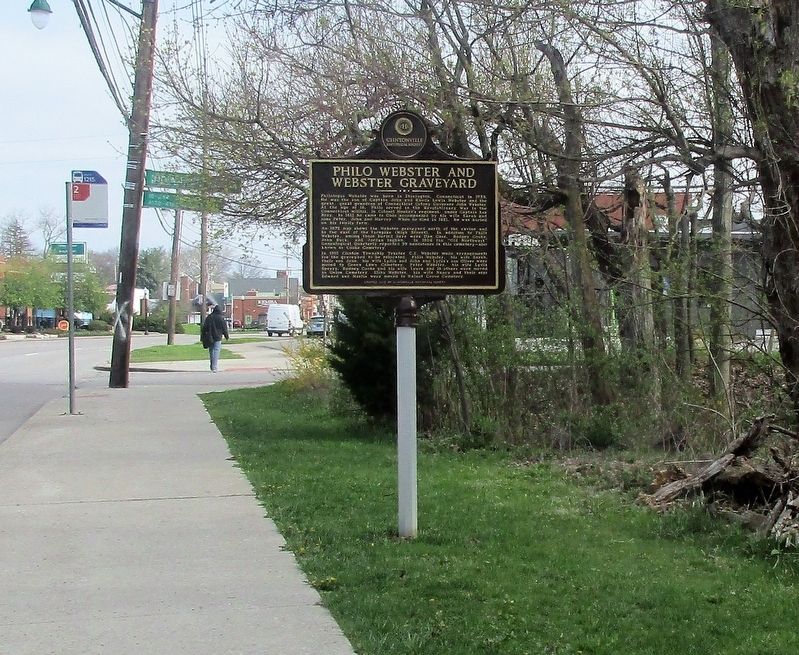
full view, looking north
Photographed by Rev. Ronald Irick, April 26, 2018
3. Philo Webster Marker
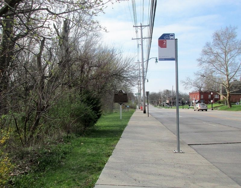
looking south, from Indian Run Dr.
Photographed by Rev. Ronald Irick, April 26, 2018
4. Philo Webster Marker
1872 map of area, fits description in text
Credits. This page was last revised on February 3, 2023. It was originally submitted on April 26, 2018, by Rev. Ronald Irick of West Liberty, Ohio. This page has been viewed 1,298 times since then and 105 times this year. Photos: 1, 2, 3, 4. submitted on April 26, 2018, by Rev. Ronald Irick of West Liberty, Ohio. • Andrew Ruppenstein was the editor who published this page.
