Guadalajara, Jalisco, Mexico — The Pacific Coast (and Central Highlands)
The Episcopal Palace and City Council
Photographed by J. Makali Bruton, April 6, 2018
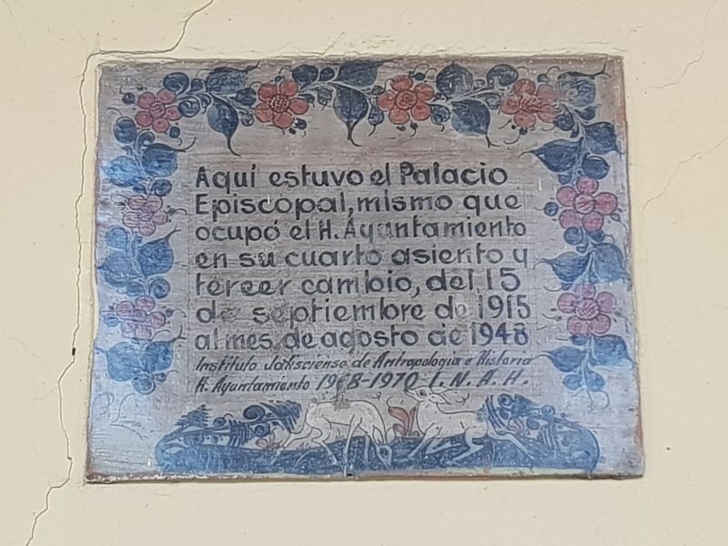
1. The Episcopal Palace and City Council Marker

Instituto Jalisciense de Antropologia e Historia
H. Ayuntamiento 1968-1970 I.N.A.H.
Here was the Episcopal Palace, the same that was later occupied by the Honorable City Council in its fourth establishment and third change of location, from September 15, 1915 to August 1948.
Jalisco Institute of Anthropology and History
Honorable City Council of 1968-1969 INAH
Erected 1968 by Instituto Jalisciense de Antropologia e Historia, Honorable Ayuntamiento 1968-1970, INAH.
Topics. This historical marker is listed in these topic lists: Colonial Era • Government & Politics • Religion & Religious Structures. A significant historical date for this entry is September 15, 1915.
Location. 20° 40.672′ N, 103° 20.859′ W. Marker is in Guadalajara, Jalisco. It is on Avenida Fray Antonio Alcalde just south of Calle Independencia, on the left when traveling south. The marker is attached to the eastern face of the building along an open corridor. The building is
this page online

Regionally, this marker is in Western Mexico, in the Bajío, on the Pacific Coast, and in the Sierra Madre. Globally, it is in North America, on the Ring of Fire, on the Pacific Rim, and in the Western Hemisphere. Historically, it finds itself in what was once New Spain, a Spanish colony, and the Aztec Empire.
Other nearby markers. At least 8 other markers are within walking distance of this marker: The Cathedral Basilica of the Assumption (within shouting distance of this marker); Rotunda of Jalisco’s Illustrious (within shouting distance of this marker); Calle de la Soledad (about 90 meters away, measured in a direct line); The New Cathedral of Guadalajara (about 90 meters away); Regional Museum of Guadalajara (about 120 meters away); The Street of Royal Tobacco Shops (about 120 meters away); Plaza of the Constitution (about 180 meters away); Miguel Hidalgo’s Edict Against Slavery (about 210 meters away). Touch for a list and map of all markers in Guadalajara.
Photographed by J. Makali Bruton, April 6, 2018
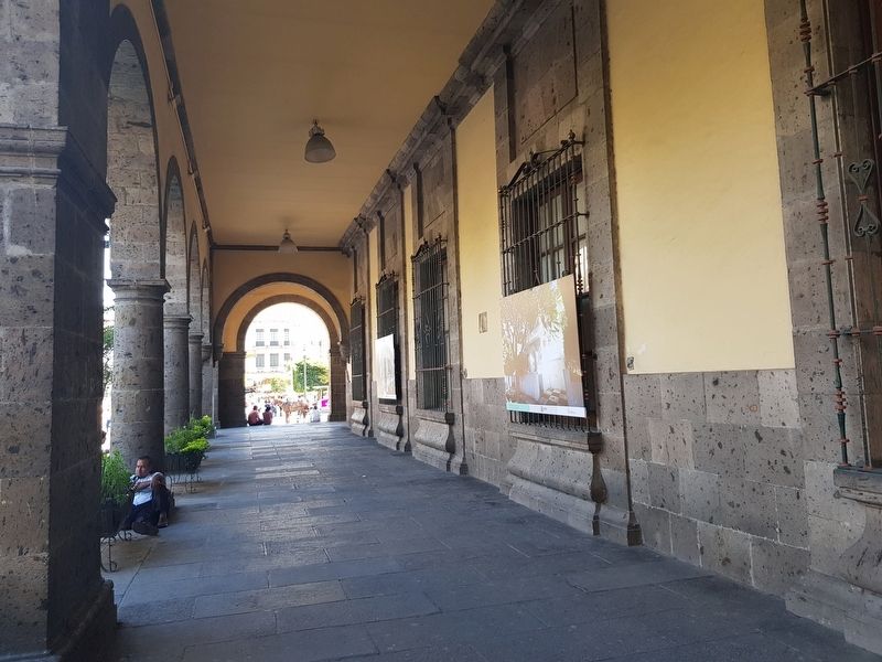
2. The Episcopal Palace and City Council and Marker
The marker can be seen here to the right along the corridor.
Photographed by J. Makali Bruton, April 7, 2018
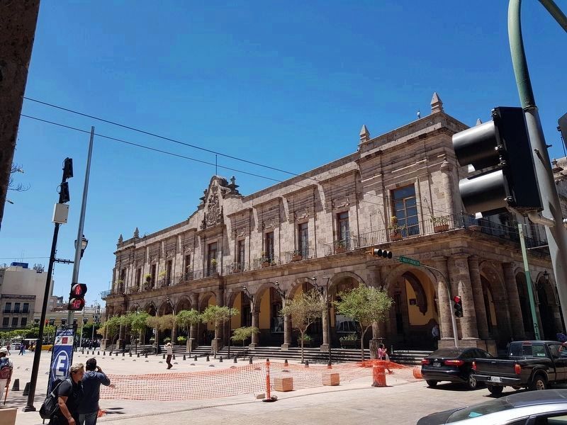
3. The Municipal Building of Guadalajara (El Palacio Municipal)
The marker is along the corridor to the right (east) in this view of the Municipal Building.
Credits. This page was last revised on June 28, 2024. It was originally submitted on April 29, 2018, by J. Makali Bruton of Washington, District of Columbia. This page has been viewed 247 times since then and 9 times this year. Photos: 1, 2. submitted on April 29, 2018, by J. Makali Bruton of Washington, District of Columbia. 3. submitted on May 4, 2018, by J. Makali Bruton of Washington, District of Columbia.
