Near Clearfield in Clearfield County, Pennsylvania — The American Northeast (Mid-Atlantic)
Indian Mill

Photographed By Mike Wintermantel, April 27, 2018
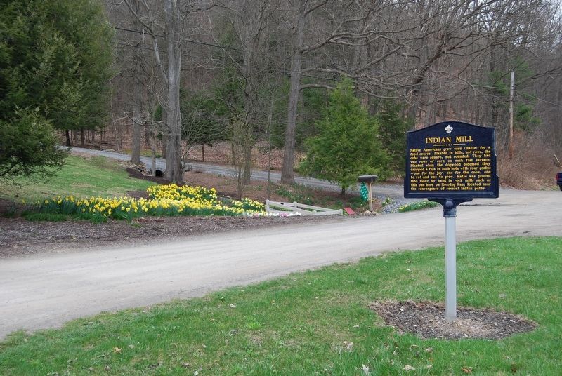
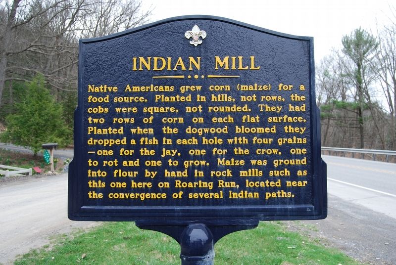
1. Indian Mill Marker
Inscription. Indian Mill. . Native Americans grew corn (maize) for a food source. Planted in hills, not rows, the cobs were square, not rounded. They had two rows of corn on each flat surface. Planted when the dogwood bloomed they dropped a fish in each hole with four grains-one for the jay, one for the crow one to rot and one to grow. Maize was ground into flour by hand in rock mills such as this one here on Roaring Run, located near the convergence of several Indian paths. . This historical marker was erected in 2014 by Justin Bell - Eagle Scout Project - Troop 9. It is Near Clearfield in Clearfield County Pennsylvania
Native Americans grew corn (maize) for a food source. Planted in hills, not rows, the cobs were square, not rounded. They had two rows of corn on each flat surface. Planted when the dogwood bloomed they dropped a fish in each hole with four grains-one for the jay, one for the crow one to rot and one to grow. Maize was ground into flour by hand in rock mills such as this one here on Roaring Run, located near the convergence of several Indian paths.
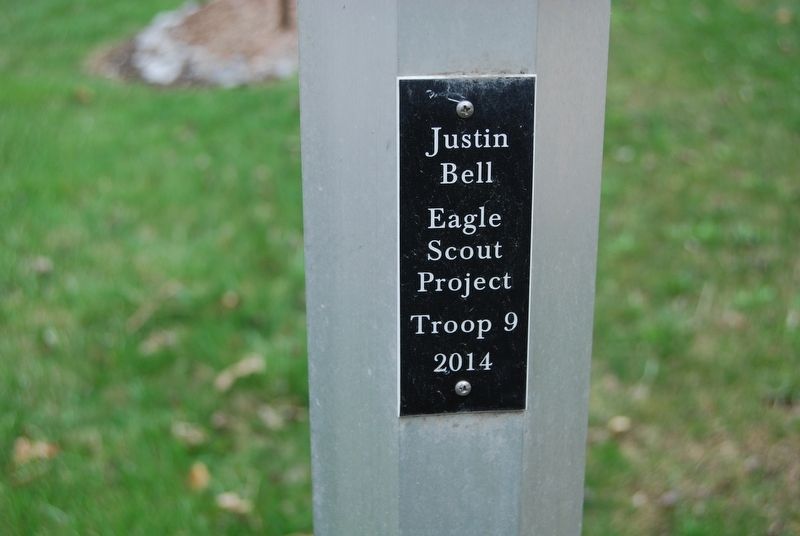
Erected 2014 by Justin Bell - Eagle Scout Project - Troop 9.
Topics. This historical marker is listed in these topic lists: Agriculture • Native Americans.
Location. 41° 0.586′ N, 78° 23.249′ W. Marker is near Clearfield, Pennsylvania, in Clearfield County. Marker is at the intersection of Clearfield Woodland Highway (U.S. 322) and Indian Mill Lane, on the right when traveling west on Clearfield Woodland Highway. Touch for map. Marker is in this post office area: Clearfield PA 16830, United States of America. Touch for directions.
Other nearby markers. At least 8 other markers are within 3 miles of this marker, measured as the crow flies. Zenas Leonard (approx. 1½ miles away); French and Indian War Expedition 
Photographed By Mike Wintermantel, April 27, 2018
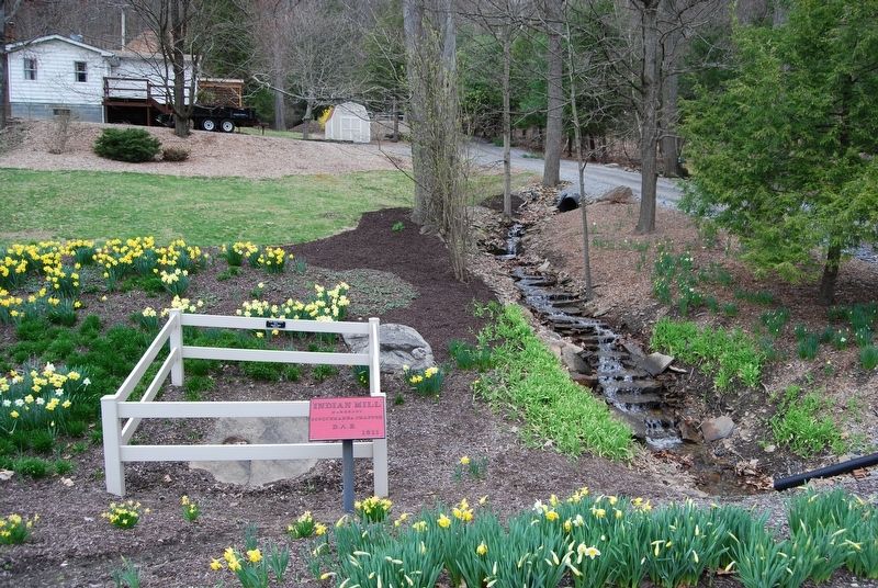
2. Indian Mill Marker
Click or scan to see
this page online
(approx. 1.8 miles away); Woodland (approx. 2.3 miles away); Hillcrest Cemetery (approx. 2½ miles away); Murray House (approx. 2.7 miles away); Daniel Ogden (approx. 2.7 miles away); Clearfield County's First Jail (approx. 2.8 miles away); The "Public Spirit" (approx. 2.8 miles away). Touch for a list and map of all markers in Clearfield.

Photographed By Mike Wintermantel, April 27, 2018
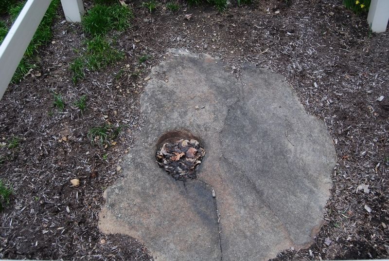
3. Indian Mill

Photographed By Mike Wintermantel, April 27, 2018
4. Indian Mill
Close up of the mill stone

Photographed By Mike Wintermantel, April 27, 2018
5. Indian Mill Marker
plaque
Credits. This page was last revised on April 29, 2018. It was originally submitted on April 29, 2018, by Mike Wintermantel of Pittsburgh, Pennsylvania. This page has been viewed 457 times since then and 65 times this year. Photos: 1, 2, 3, 4, 5. submitted on April 29, 2018, by Mike Wintermantel of Pittsburgh, Pennsylvania.
m=116903
Mar. 25, 2023