Stony Point in Rockland County, New York — The American Northeast (Mid-Atlantic)
Commerce and the Hudson River
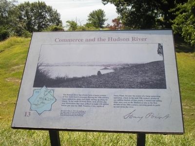
The Hudson River has always been a major avenue of New York State’s economy. During the 19th century, many industries, large and small, sprang up along its shores. To the south of Stony Point, beds of rich clay near Haverstraw Bay were utilized to make 150 million bricks per year by 1860. Tompkins Cove, north of Stony Point, became the center of a large quarrying operation, which in the mid-19th century produced one million bushels of lime yearly. Commercial sailing ships were seen on the Hudson as late as the first decades of the 20th century, carrying goods to ports up and down the river.
Erected by Stony Point Battlefield State Historic Site.
Topics. This historical marker is listed in these topic lists: Notable Places • Waterways & Vessels. A significant historical year for this entry is 1860.
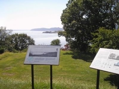
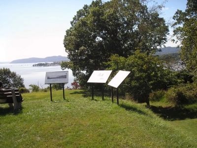
Location. 41° 14.474′ N, 73° 58.308′ W. Marker is in Stony Point, New York, in Rockland County. Marker is on Stony Point Park Road, on the right when traveling east. Marker is near the lighthouse on the walking tour of the Stony Point Battlefield. Touch for map. Marker is in this post office area: Stony Point NY 10980, United States of America. Touch for directions.
Other nearby markers. At least 8 other markers are within walking distance of this marker. The Lighthouse at Stony Point (here, next to this marker); The Battle’s Aftermath (here, next to this marker); Opportunities Missed and Taken (within shouting distance of this marker); “The fort and garrison, with Col. Johnson, are ours.” (within shouting distance of this marker); “For God’s sake, why is the Artillery here not being made use of?” (about 300 feet away, measured in a direct line); “… with the greatest Intrepidity and coolness.” (about 400 feet away); “… the enemy entered the upper work at the barrier at the same time I did.” (about 400 feet away); Stony Point Battlefield Today (about 400 feet away). Touch for a list and map of all markers in Stony Point.
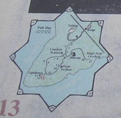
More about this marker. The upper portion of the marker contains a photograph of "Haverstraw Bay, ca. 1915. The buildings at the right center are part of a brickmaking plant. Reproduced courtesy of The New York Historical Society, New York City." There is also a map of the walking tour of the Stony Point Battlefield at the lower left of the marker.
Related markers. Click here for a list of markers that are related to this marker. This series of markers follow the walking tour of the Stony Point Battlefield.
Also see . . . Stony Point Battlefield State Historic Site
. New York State Parks, Recreation and Historic Preservation website entry (Submitted on September 22, 2008, by Bill Coughlin of Woodland Park, New Jersey.)
Credits. This page was last revised on August 24, 2021. It was originally submitted on September 22, 2008, by Bill Coughlin of Woodland Park, New Jersey. This page has been viewed 874 times since then and 26 times this year. Photos: 1, 2, 3, 4. submitted on September 22, 2008, by Bill Coughlin of Woodland Park, New Jersey.


