Guadalajara, Jalisco, Mexico — The Pacific Coast (and Central Highlands)
The Church of San Miguel
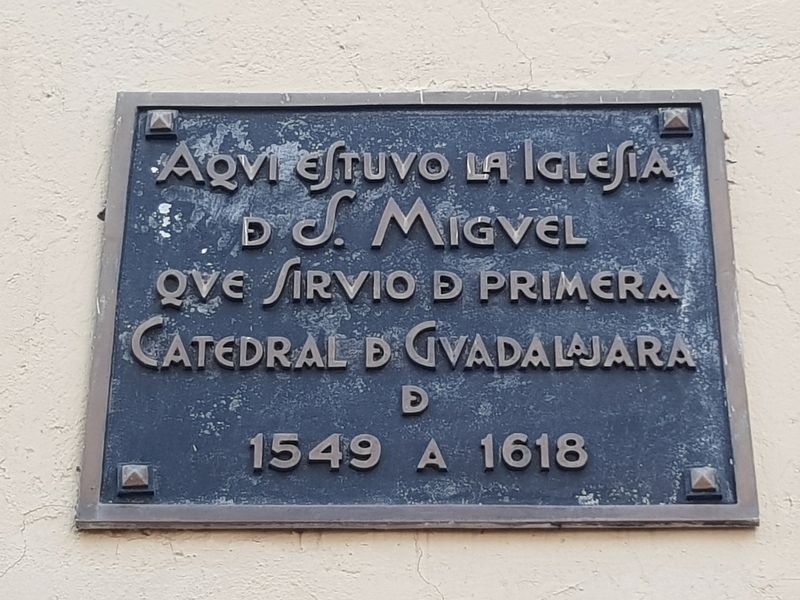
Photographed by J. Makali Bruton, April 7, 2018
1. The Church of San Miguel Marker

de S. Miguel
que sirvió de primera
Catedral de Guadalajara
de
1549 a 1618
Topics. This historical marker is listed in these topic lists: Colonial Era • Religion & Religious Structures. A significant historical year for this entry is 1549.
Location. 20° 40.65′ N, 103° 20.657′ W. Marker is in Guadalajara, Jalisco. It is at the intersection of Calle Venustiano Carranza and Avenida Miguel Hidalgo y Costilla, on the right when traveling north on Calle Venustiano Carranza. Touch for map. Marker is in this post office area: Guadalajara JAL 44100, Mexico. Touch for directions.

Regionally, this marker is in Western Mexico, in the Bajío, on the Pacific Coast, and in the Sierra Madre. Globally, it is in North America, on the Ring of Fire, on the Pacific Rim, and in the Western Hemisphere. Historically, it finds itself in what was once New Spain, a Spanish colony, and the Aztec Empire.
Other nearby markers. At least 8 other markers are within walking distance
this page online
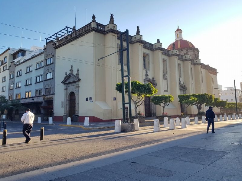
Photographed by J. Makali Bruton, April 7, 2018
2. The Church of San Miguel Marker
The marker is on the near corner of the church, now the Church of Saint Mary of Grace (Iglesia de Santa María de Gracia).
Credits. This page was last revised on March 15, 2026. It was originally submitted on April 30, 2018, by J. Makali Bruton of Washington, District of Columbia. This page has been viewed 245 times since then and 14 times this year. Photos: 1, 2. submitted on April 30, 2018, by J. Makali Bruton of Washington, District of Columbia.
