Groveland in Livingston County, New York — The American Northeast (Mid-Atlantic)
Groveland Ambuscade Park
Revolutionary War Heritage Trail
Photographed by Anton Schwarzmueller, April 30, 2018
1. Groveland Ambuscade Park Marker
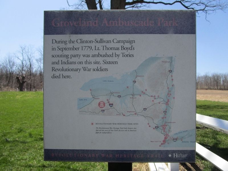
Groveland Ambuscade Park
During the Clinton-Sullivan Campaign in September 1779, Lt. Thomas Boyd's scouting party was ambushed by Tories and Indians on this site. Sixteen Revolutionary War soldiers died here.
Revolutionary War Heritage Trail Sites.
The Revolutionary War Heritage Trail links historic sites that tell the story of New York's decisive role in America's fight for independence.
Erected by New York State Office of Parks, Recreation & Historic Preservation.
Topics and series. This historical marker is listed in these topic lists: Indigenous Peoples and Communities • War, US Revolutionary. In addition, it is included in the The Sullivan-Clinton Expedition Against the Iroquois Indians series list. A significant historical month for this entry is September 1779.
Location. 42° 43.105′ N, 77° 43.587′ W. Marker is in Groveland, New York, in Livingston County. It can be reached from David Gray Hill Road ¾ mile east of Barber Hill Road. There are NYS directional signs at nearby intersections. The town strongly discourages using the steep unpaved portion of David Gray Hill Road, which was closed when I visited. Touch for map.
this page online

Regionally, this marker is in Upstate New York, specifically in Western New York, in the Finger Lakes, and in the Rochester Metropolitan Area. It is also in the American Northeast and in the Mid-Atlantic. Globally, it is in North America, the Western Hemisphere, the Western World, and the Anglosphere. Historically, it finds itself in what was once the Haudenosaunee (Iroquois) Confederacy, New Netherland, and one of the original Thirteen Colonies.
Other nearby markers. At least 8 other markers are within 3 miles of this marker, measured as the crow flies: Groveland Ambuscade Monument (about 600 feet away, measured in a direct line); Ambuscade (approx. 0.4 miles away); Military Route (approx. 0.7 miles away); Groveland Hill (approx. 1.4 miles away); Conesus Amusement Hall (approx. 2.6 miles away); a different marker also named Conesus Amusement Hall (approx. 2.6 miles away); Kelleman Log Cabin (approx. 2.7 miles away); Gravesite of Captain Daniel Shays (approx. 2.7 miles away). Touch for a list and map of all markers
Photographed by Anton Schwarzmueller, April 30, 2018
2. Groveland Ambuscade Park Marker
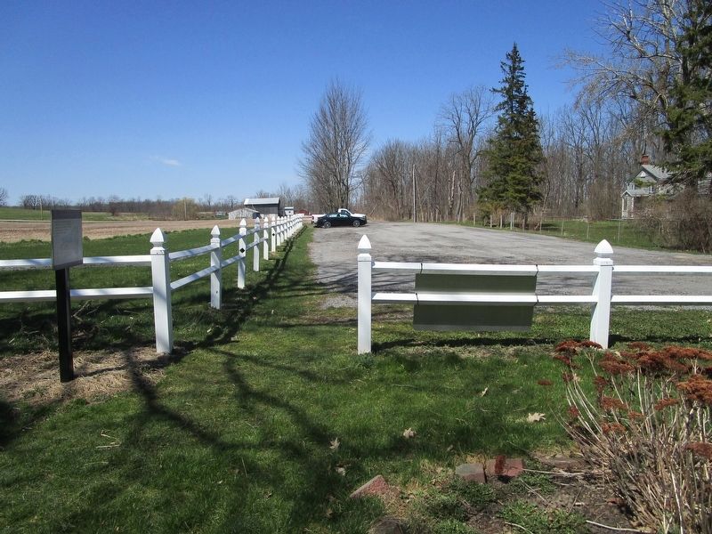
Northward view. Marker at left. This is the parking area at the end of the park road from David Gray Hill Road. The way to walk to the monument begins here.
Also see . . . Ambuscade Monument. Groveland NY website entry (Submitted on November 16, 2025, by Larry Gertner of New York, New York.)
Photographed by Anton Schwarzmueller, April 30, 2018
3. Groveland Ambuscade Park Marker
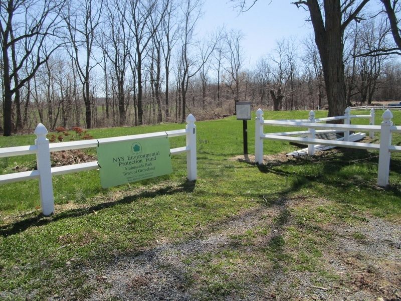
Walk this way to the monument.

via Groveland NY, unknown
4. Ambuscade Monument
Credits. This page was last revised on November 16, 2025. It was originally submitted on May 2, 2018, by Anton Schwarzmueller of Wilson, New York. This page has been viewed 1,049 times since then and 84 times this year. Photos: 1, 2, 3. submitted on May 2, 2018, by Anton Schwarzmueller of Wilson, New York. 4. submitted on November 16, 2025, by Larry Gertner of New York, New York.
