Near Auburn in Fauquier County, Virginia — The American South (Mid-Atlantic)
Neavil’s Mill
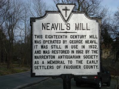
Photographed by Roger Dean Meyer, March 3, 2007
1. Neavil's Mill Marker
Topics. This historical marker is listed in these topic lists: Charity & Public Work • Colonial Era • Industry & Commerce. A significant historical year for this entry is 1932.
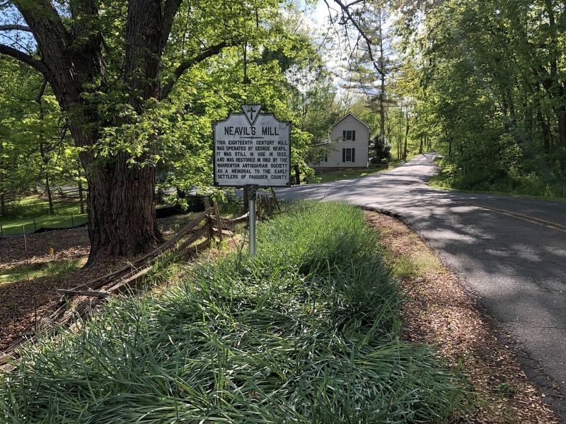
Location. 38° 42.188′ N, 77° 42.066′ W. Marker is near Auburn, Virginia, in Fauquier County. It is at the intersection of Old Auburn Road (County Route 670) and Rogues Road (County Route 602), on the right when traveling east on Old Auburn Road. Touch for map. Marker is in this post office area: Catlett VA 20119, United States of America. Touch for directions.

Regionally, this marker is in the Washington Metropolitan Area and in Northern Virginia. It is also in the American South, specifically in the Upper South, and in the Mid-Atlantic. Globally, it is in North America, the Western Hemisphere, the Western World, and the Anglosphere. Historically, it finds itself in what was once the territory of the Mississippian Culture,
this page online
Other nearby markers. At least 8 other markers are within 3 miles of this marker, measured as the crow flies: Battle of Coffee Hill (about 400 feet away, measured in a direct line); Second Battle of Auburn (about 400 feet away); a different marker also named Neavil's Ordinary (approx. 0.4 miles away); Stuart's Bivouac (approx. 1.3 miles away); Grapewood Farm Engagement (approx. 2.4 miles away); St. Stephen's Episcopal Church (approx. 2½ miles away); Christ's Chapel on Baldwin Ridge (approx. 2.7 miles away); Vint Hill Farms Station (approx. 3.1 miles away). Touch for a list and map of all markers in Auburn.
Another marker is no longer nearby. Neavil's Ordinary (was approx. 0.4 miles away but has been replaced with another marker now near it).
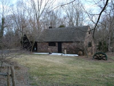
Photographed by Roger Dean Meyer, March 3, 2007
3. Neavil's Mill as it appears today.
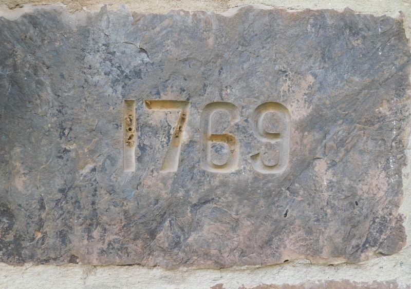
Photographed by Bradley Owen, October 13, 2018
4. Neavil’s Mill Has Been Dated To 1769 And Includes A Stone With That Year Beside The Front Door
Credits. This page was last revised on June 7, 2021. It was originally submitted on September 10, 2007, by Roger Dean Meyer of Yankton, South Dakota. This page has been viewed 3,969 times since then and 197 times this year. Last updated on May 2, 2018, by Bradley Owen of Morgantown, West Virginia. Photos: 1. submitted on September 10, 2007, by Roger Dean Meyer of Yankton, South Dakota. 2. submitted on May 10, 2021, by Devry Becker Jones of Washington, District of Columbia. 3. submitted on September 10, 2007, by Roger Dean Meyer of Yankton, South Dakota. 4. submitted on June 6, 2021, by Bradley Owen of Morgantown, West Virginia. • Bill Pfingsten was the editor who published this page.
