Avila Beach in San Luis Obispo County, California — The American West (Pacific Coastal)
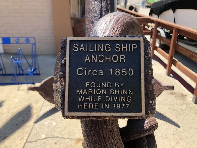
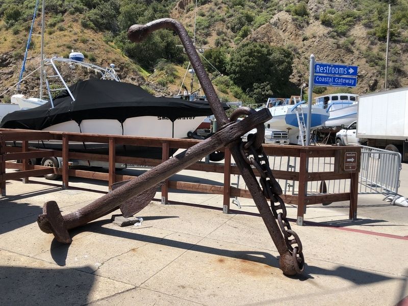
Sailing Ship Anchor
Found by
Marion Shinn
While Diving
Here in 1977
Topics. This historical marker is listed in this topic list: Waterways & Vessels.
Location. 35° 10.29′ N, 120° 45.385′ W. Marker is in Avila Beach, California, in San Luis Obispo County. Marker is on Avila Beach Drive near Diablo Canyon Road, on the right when traveling north. Touch for map. Marker is at or near this postal address: 3950 Avila Beach Drive, Avila Beach CA 93424, United States of America. Touch for directions.
Other nearby markers. At least 8 other markers are within 7 miles of this marker, measured as the crow flies. Port Harford Wharf & Pacific Coast Railway (here, next to this marker); Port San Luis (within shouting distance of this marker); Port Harford Pier (approx. ¼ mile away); Point San Luis Light Station (approx. 0.8 miles away); Pier Into The Past (approx. one mile away); The History of Pismo Beach Wharf and Pier (approx. 6.7 miles away); History of Pismo Clams in California (approx. 6.8 miles away); Pismo Beach Pier Plaza (approx. 6.8 miles away). Touch for a list and map of all markers in Avila Beach.
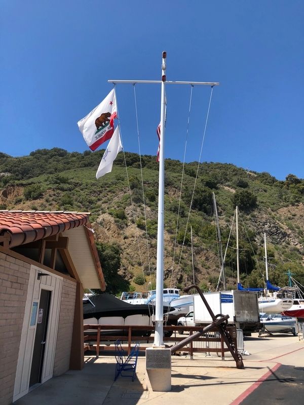
More about this marker. The anchor is located next to the Port San Luis Harbormaster's Office.
Credits. This page was last revised on May 4, 2018. It was originally submitted on May 4, 2018, by Barry Swackhamer of Brentwood, California. This page has been viewed 169 times since then and 10 times this year. Photos: 1, 2, 3. submitted on May 4, 2018, by Barry Swackhamer of Brentwood, California.


