
Centreville in Fairfax County, Virginia — The American South (Mid-Atlantic)
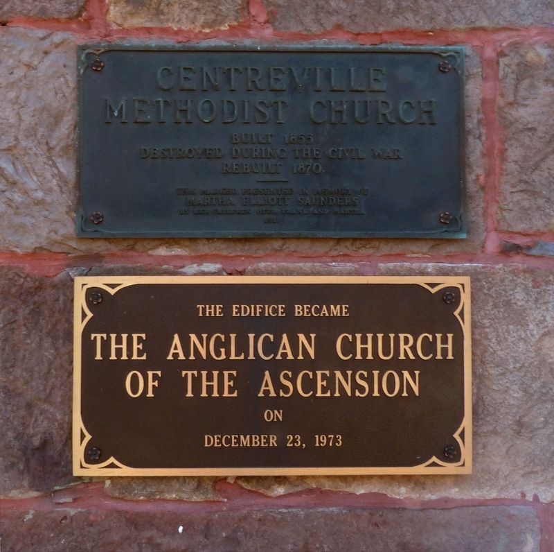
Centreville Methodist Church
Built 1855
Photographed by Allen C. Browne, November 15, 2017
1. Centreville Methodist Church Marker
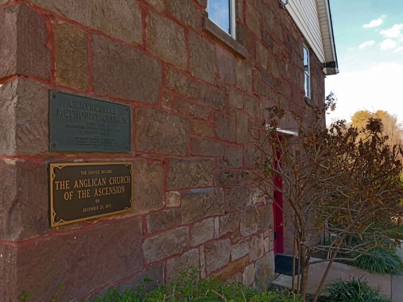
Destroyed during the Civil War. Rebuilt 1870. This Marker Presented in Memory of Martha Elliott Saunders by Her Children Otto Frank and Martha 1939
The Edifice Became the Anglican Church of the Ascension on December 23, 1973.
Topics. This historical marker is listed in these topic lists: Notable Buildings • Religion & Religious Structures • War, US Civil. A significant historical date for this entry is December 23, 1873.
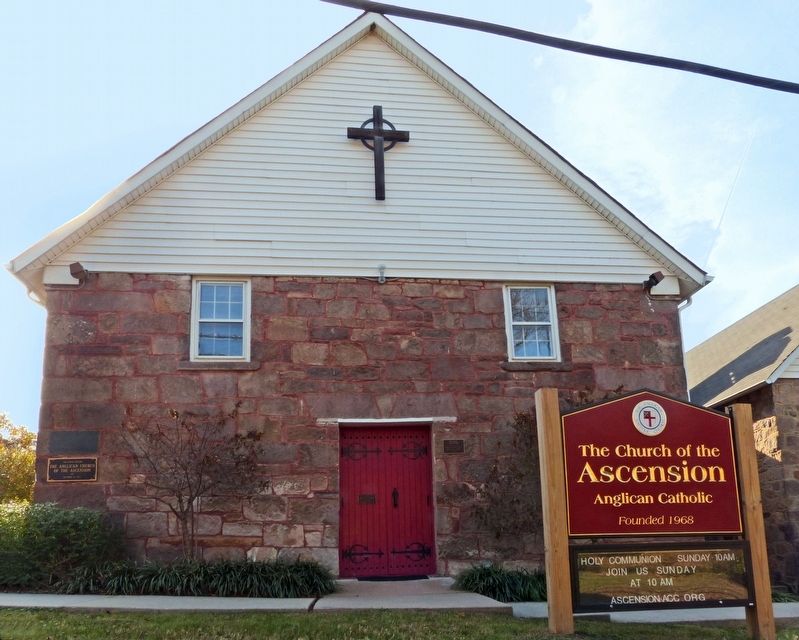
Location. 38° 50.463′ N, 77° 25.793′ W. Marker is in Centreville, Virginia, in Fairfax County. It is on Braddock Road (Virginia Route 620) north of Mt Gilead Road, on the left when traveling north. These markers are on the front wall of the Anglican Church of the Ascension. Touch for map. Marker is at or near this postal address: 13941 Braddock Rd, Centreville VA 20120, United States of America. Touch for directions.

Regionally, this marker is in the Washington Metropolitan Area and in Northern Virginia. It is also in the American South, specifically in the Upper South, in the Mid-Atlantic, and on the Eastern Seaboard. Globally, it is in the North Atlantic Region, North America, the Western Hemisphere,
this page online
Other nearby markers. At least 8 other markers are within walking distance of this marker: A different marker also named Centreville Methodist Church (here, next to this marker); Old Stone Church (a few steps from this marker); Minnie Minter Carter Saunders (within shouting distance of this marker); Harrison House (about 400 feet away, measured in a direct line); Archaeology at Newgate Tavern (about 400 feet away); Convicts and Slaves (about 400 feet away); Newgate Tavern (about 400 feet away); Historic Centreville Park (about 600 feet away). Touch for a list and map of all markers in Centreville.
Also see . . . History of the Old Stone Church. Church of the Ascension, Parish History. (Submitted on February 14, 2018, by Allen C. Browne of Silver Spring, Maryland.)
Photographed by Allen C. Browne, November 15, 2017
2. Centreville Methodist Church Marker
Photographed by Allen C. Browne, November 15, 2017
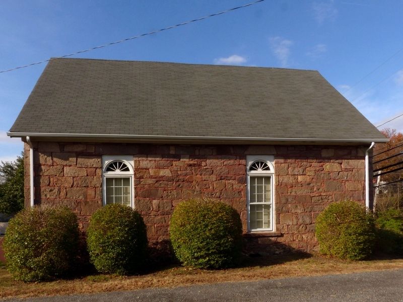
3. Centreville Methodist Church
Church of the Ascension
Church of the Ascension
Photographed by Allen C. Browne, November 15, 2017
4. Centreville Methodist Church
Church of the Ascension
Church of the Ascension
Photographed by Allen C. Browne, November 15, 2017
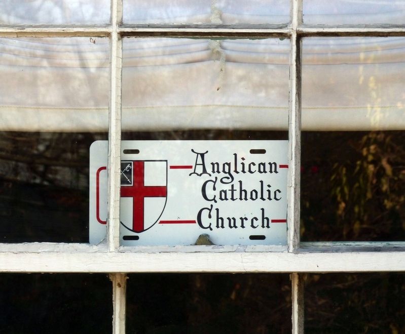
5. Anglican Catholic Church
Photographed by Allen C. Browne, November 15, 2017
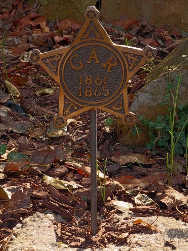
6. G A R
1861
1865
1861
1865
Memorial to the Union Dead buried in the churchyard of Centreville Methodist Church.
Photographed by Allen C. Browne, November 15, 2017
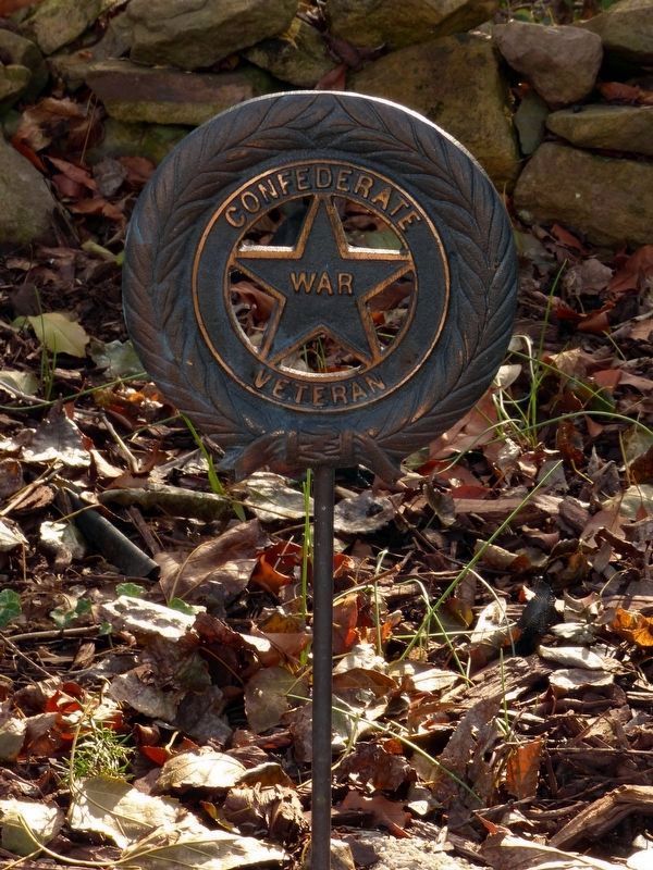
7. Confederate War Veteran
Memorial to the Confederate Dead buried in the churchyard of Centreville Methodist Church.
Credits. This page was last revised on July 7, 2021. It was originally submitted on February 14, 2018, by Allen C. Browne of Silver Spring, Maryland. This page has been viewed 592 times since then and 26 times this year. Last updated on May 7, 2018, by Allen C. Browne of Silver Spring, Maryland. Photos: 1, 2, 3, 4, 5. submitted on February 14, 2018, by Allen C. Browne of Silver Spring, Maryland. 6, 7. submitted on February 27, 2018, by Allen C. Browne of Silver Spring, Maryland. • Bernard Fisher was the editor who published this page.
