Cantonment in Escambia County, Florida — The American South (South Atlantic)
Vacaria Baja
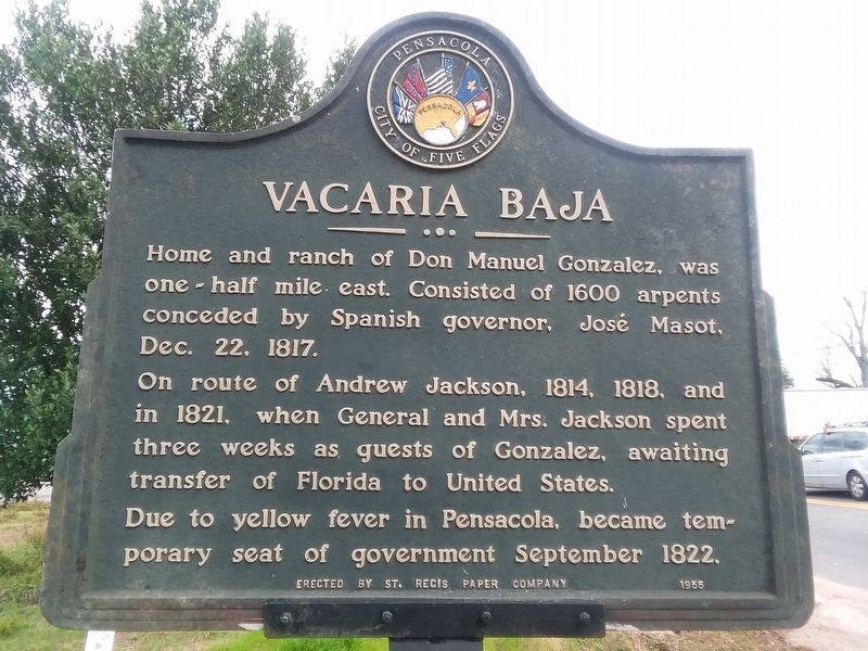
Photographed by Craig Doda, December 23, 2018
1. Vacaria Baja Marker
The marker was newly painted.
On route of Andrew Jackson 1814, 1818 and in 1821, when General and Mrs. Jackson spent three weeks as guests of Gonzalez, awaiting transfer of Florida to United States.
Due to yellow fever in Pensacola, became temporary seat of government September 1822.
Erected 1955 by the St. Regis Paper Company.
Topics and series. This historical marker is listed in these topic lists: Hispanic Americans • Notable Places. In addition, it is included in the Former U.S. Presidents: #07 Andrew Jackson series list. A significant historical date for this entry is September 29, 1822.
Location. 30° 36.702′ N, 87° 19.245′ W. Marker is in Cantonment, Florida, in Escambia County. It is at the intersection of Road 29 and County Road 184, on the right when traveling south on Road 29. Touch for map. Marker is at or near this postal address: 400 Pensacola Boulevard, Cantonment FL 32533, United States of America. Touch for directions.

Regionally, this marker is in Greater Pensacola and on the Florida Panhandle.
this page online
Other nearby markers. At least 8 other markers are within 14 miles of this marker, measured as the crow flies: Cantonment (here, next to this marker); Florida Honors and Remembers our POW's and MIA's (approx. 5 miles away); F-9 Cougar (approx. 5 miles away); Hyer-Knowles Planing Mill (approx. 13.1 miles away); Lavallet (approx. 13.3 miles away); Katharine A. Goldsmith R.N. (approx. 13.3 miles away); Spencer Bibbs (approx. 13.3 miles away); Kupfrian's Park (approx. 13.4 miles away).
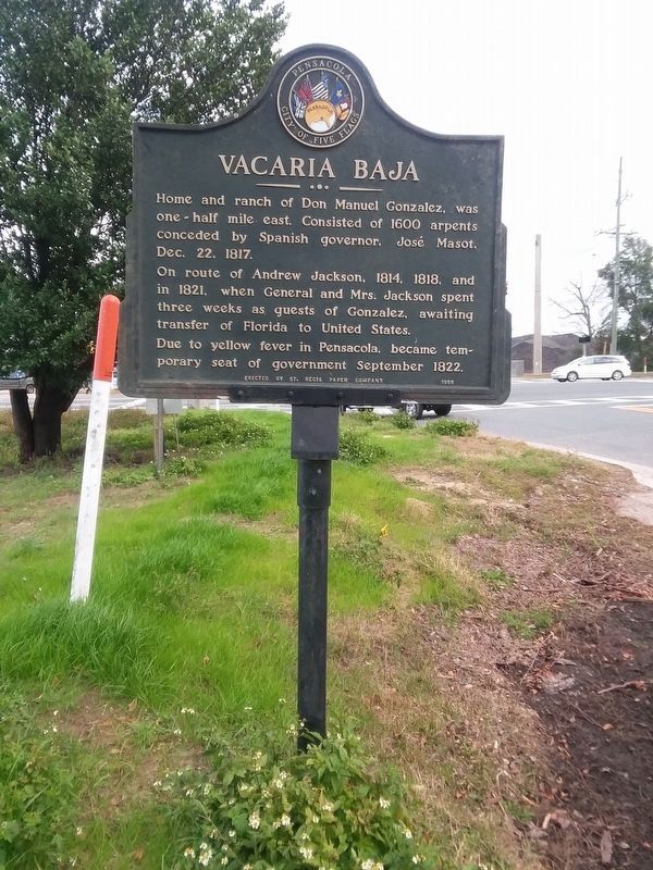
Photographed by Craig Doda, December 23, 2018
2. Vacaria Baja Marker
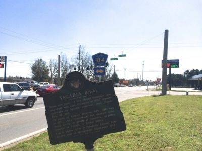
Photographed by Mark Hilton, March 10, 2014
3. Marker prior to repainting and correcting tilt.
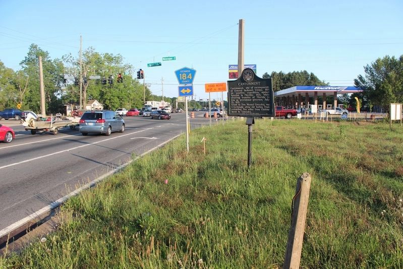
Photographed by Tim Fillmon, May 8, 2018
4. Vacaria Baja Marker
Post in foreground is for this missing Vacaria Baja marker. The marker 'Cantonment' is in the background. The Vacaria Baja marker was replaced sometime between May and December of 2018.
Credits. This page was last revised on November 27, 2021. It was originally submitted on March 11, 2014, by Mark Hilton of Montgomery, Alabama. This page has been viewed 4,307 times since then and 185 times this year. Last updated on May 8, 2018, by Tim Fillmon of Webster, Florida. Photos: 1, 2. submitted on November 27, 2021, by Craig Doda of Napoleon, Ohio. 3. submitted on March 11, 2014, by Mark Hilton of Montgomery, Alabama. 4. submitted on May 8, 2018, by Tim Fillmon of Webster, Florida. • Andrew Ruppenstein was the editor who published this page.
