Milton Keynes, England, United Kingdom — Northwestern Europe (the British Isles)
Hut 1 Hut 8
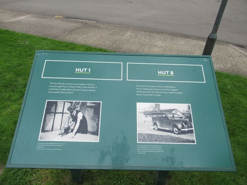
Photographed by Michael Herrick, May 11, 2018
1. Hut 1 Hut 8 Marker
Topics. This historical marker is listed in these topic lists: Science & Medicine • War, World II.
Location. 51° 59.82′ N, 0° 44.541′ W. Marker is in Milton Keynes, England. It can be reached from the intersection of Sherwood Drive and Jemima Way, on the left when traveling north. Located in Bletchley Park. Touch for map. Marker is in this post office area: Milton Keynes, England MK3 6EB, United Kingdom. Touch for directions.

Regionally, it is on the Atlantic Ocean, in the North Atlantic Region, in Europe, in Atlantic Europe, on one of the British Isles, in the Western World, and in the Anglosphere. Historically, it finds itself in what was once the Roman Empire.
Other nearby markers. At least
this page online
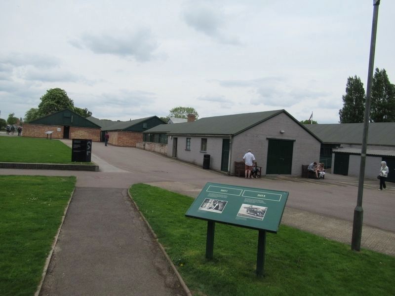
Photographed by Michael Herrick, May 11, 2018
2. Hut 1 Hut 8 Marker
The office buildings were called “huts” by the codebreaking staff. Hut 1 and Hut 8 are the gray buildings on the right. The tan building is Hut 3.
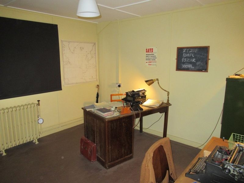
Photographed by Michael Herrick, May 11, 2018
3. Alan Turing’s Office in Hut 8
At this desk Alan Turing led the team that broke the Enigma and Lorenz ciphers and developed the Bombe machine to speed the codebreaking process.
Credits. This page was last revised on January 27, 2022. It was originally submitted on May 12, 2018, by Michael Herrick of Southbury, Connecticut. This page has been viewed 517 times since then and 29 times this year. Photos: 1, 2, 3. submitted on May 12, 2018, by Michael Herrick of Southbury, Connecticut.
